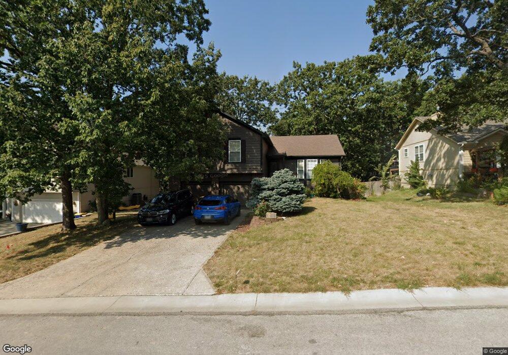
124 NW Cody Dr Lees Summit, MO 64081
Estimated Value: $366,738 - $394,000
About This Home
This home is located at 124 NW Cody Dr, Lees Summit, MO 64081 and is currently estimated at $376,435, approximately $197 per square foot. 124 NW Cody Dr is a home located in Jackson County with nearby schools including Cedar Creek Elementary School, Pleasant Lea Middle School, and Lee's Summit Senior High School.
Ownership History
We collect this data history from publicly available records. To have your information removed, we recommend requesting removal directly through your county’s website.
Purchase Details
Home Financials for this Owner
Home Financials are based on the most recent Mortgage that was taken out on this home.Purchase Details
Home Financials for this Owner
Home Financials are based on the most recent Mortgage that was taken out on this home.Purchase Details
Home Financials for this Owner
Home Financials are based on the most recent Mortgage that was taken out on this home.Purchase Details
Home Values in the Area
Average Home Value in this Area
Purchase History
We collect this data history from publicly available records. To have your information removed, we recommend requesting removal directly through your county’s website.
| Date | Buyer | Sale Price | Title Company |
|---|---|---|---|
| -- | Kansas City Title | ||
| -- | -- | ||
| -- | Stewart Title | ||
| $135,454 | First American Title Ins |
Mortgage History
We collect this data history from publicly available records. To have your information removed, we recommend requesting removal directly through your county’s website.
| Date | Status | Borrower | Loan Amount |
|---|---|---|---|
| Open | $146,800 | ||
| Previous Owner | $132,000 | ||
| Previous Owner | $123,068 |
Tax History
We collect this data history from publicly available records. To have your information removed, we recommend requesting removal directly through your county’s website.
| Year | Tax Paid | Tax Assessment Tax Assessment Total Assessment is a certain percentage of the fair market value that is determined by local assessors to be the total taxable value of land and additions on the property. | Land | Improvement |
|---|---|---|---|---|
| 2025 | $4,385 | $51,511 | $8,643 | $42,868 |
| 2024 | $4,385 | $60,735 | $7,211 | $53,524 |
| 2023 | $4,354 | $60,736 | $7,093 | $53,643 |
| 2022 | $3,144 | $38,950 | $4,367 | $34,583 |
| 2021 | $3,209 | $38,950 | $4,367 | $34,583 |
| 2020 | $3,086 | $37,090 | $4,367 | $32,723 |
| 2019 | $3,002 | $37,090 | $4,367 | $32,723 |
| 2018 | $2,815 | $32,280 | $3,801 | $28,479 |
| 2017 | $2,815 | $32,280 | $3,801 | $28,479 |
| 2016 | $2,791 | $31,673 | $4,275 | $27,398 |
| 2014 | $2,903 | $32,295 | $3,918 | $28,377 |
Map
- 2127 NW Killarney Ln
- 319 NW Rockwood Ct
- 2123 NW Killarney Ln
- 2128 SW British Dr
- 232 SW Winterpark Cir
- 318 NW Ambersham Dr
- 400 NW Tennyson Place
- 330 NW Ambersham Dr
- 2074 NW O'Brien Rd
- 2070 NW O'Brien Rd
- 2520 SW Winterbond Cir
- 202 NW Ambersham Dr
- 433 NW Kaylea Ct
- 2400 SW Wintercreek Ct
- 2110 NW Ashurst Dr
- 601 SW Forestpark Ln
- 202 NW Joshua Dr
- 129 NW Morton Dr
- 100 SW Gray Cir
- 2634 SW Wintervalley Dr
- 116 NW Cody Dr
- 120 NW Cody Dr
- 112 NW Cody Dr
- 117 NW Cody Dr
- 113 NW Cody Dr
- 121 NW Cody Dr
- 104 NW Cody Dr
- 217 NW Whitlock Dr
- 109 NW Cody Dr
- 221 NW Whitlock Dr
- 225 NW Whitlock Dr
- 128 NW Cody Dr
- 125 NW Cody Dr
- 105 NW Cody Dr
- 229 NW Whitlock Dr
- 101 NW Cody Dr
- 132 NW Cody Dr
- 129 NW Cody Dr
- 233 NW Whitlock Dr
- 208 NW Whitlock Dr
Ask me questions while you tour the home.