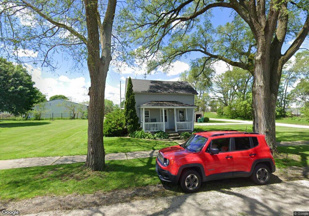
124 Oak St Hampshire, IL 60140
Estimated Value: $197,000 - $334,000
2
Beds
1
Bath
1,099
Sq Ft
$222/Sq Ft
Est. Value
About This Home
This home is located at 124 Oak St, Hampshire, IL 60140 and is currently estimated at $243,697, approximately $221 per square foot. 124 Oak St is a home located in Kane County with nearby schools including Hampshire Elementary School, Hampshire Middle School, and Hampshire High School.
Ownership History
Date
Name
Owned For
Owner Type
Purchase Details
Closed on
Dec 6, 2017
Sold by
Seyler John
Bought by
Erickhorst Vance E and Erickhorst Sally
Current Estimated Value
Home Financials for this Owner
Home Financials are based on the most recent Mortgage that was taken out on this home.
Original Mortgage
$67,500
Outstanding Balance
$37,578
Interest Rate
3.94%
Mortgage Type
New Conventional
Estimated Equity
$206,119
Purchase Details
Closed on
Oct 22, 2002
Sold by
Seyller Paul
Bought by
Seyller John
Create a Home Valuation Report for This Property
The Home Valuation Report is an in-depth analysis detailing your home's value as well as a comparison with similar homes in the area
Home Values in the Area
Average Home Value in this Area
Purchase History
| Date | Buyer | Sale Price | Title Company |
|---|---|---|---|
| Erickhorst Vance E | $112,500 | None Available | |
| Seyller John | $28,500 | -- |
Source: Public Records
Mortgage History
| Date | Status | Borrower | Loan Amount |
|---|---|---|---|
| Open | Erickhorst Vance E | $67,500 |
Source: Public Records
Tax History Compared to Growth
Tax History
| Year | Tax Paid | Tax Assessment Tax Assessment Total Assessment is a certain percentage of the fair market value that is determined by local assessors to be the total taxable value of land and additions on the property. | Land | Improvement |
|---|---|---|---|---|
| 2024 | $3,979 | $54,363 | $29,151 | $25,212 |
| 2023 | $3,824 | $48,901 | $26,222 | $22,679 |
| 2022 | $3,604 | $44,942 | $24,099 | $20,843 |
| 2021 | $3,435 | $42,394 | $22,733 | $19,661 |
| 2020 | $3,385 | $41,236 | $22,112 | $19,124 |
| 2019 | $3,209 | $38,275 | $21,389 | $16,886 |
| 2018 | $3,149 | $36,163 | $20,209 | $15,954 |
| 2017 | $3,007 | $34,071 | $19,409 | $14,662 |
| 2016 | $2,967 | $32,028 | $18,245 | $13,783 |
| 2015 | -- | $29,769 | $16,958 | $12,811 |
| 2014 | -- | $28,788 | $16,399 | $12,389 |
| 2013 | -- | $30,629 | $17,448 | $13,181 |
Source: Public Records
Map
Nearby Homes
- 125 Mill Ave
- 862 Briar Glen Ct
- 820 Briar Glen Ct
- 804 Briar Glen Ct
- 421 Klick St
- 190 Grove Ave
- Lot 0 N State St
- 263 E Jackson Ave
- 286 Wild Prairie Pointe
- 284 Wild Prairie Pointe
- 283 Wild Prairie Pointe
- 282 Wild Prairie Pointe
- 704 S State St
- 602 Woodside Terrace
- 895 S State St
- 531 W Meadowdale Cir
- 666 Savanna Dr
- 714 Wild Prairie Point
- Lot 154 W Meadowdale Cir
- Lot 130 W Meadowdale Cir