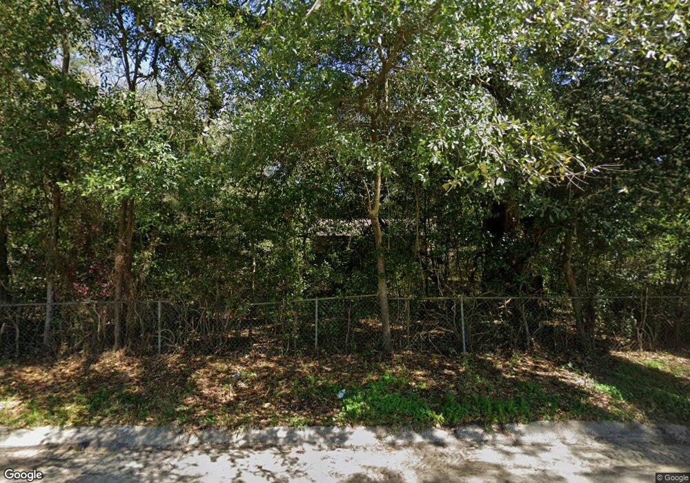
124 Paul St Pensacola, FL 32505
Estimated Value: $89,278 - $127,000
--
Bed
1
Bath
560
Sq Ft
$193/Sq Ft
Est. Value
About This Home
This home is located at 124 Paul St, Pensacola, FL 32505 and is currently estimated at $108,320, approximately $193 per square foot. 124 Paul St is a home located in Escambia County with nearby schools including Oakcrest Elementary School, Warrington Middle School, and Escambia High School.
Ownership History
Date
Name
Owned For
Owner Type
Purchase Details
Closed on
Mar 15, 2006
Sold by
Weldon Donald Ray and Weldon Linda D
Bought by
Weldon Donald Ray
Current Estimated Value
Purchase Details
Closed on
Jul 19, 1996
Sold by
Joseph Howard G and Joseph Ethel
Bought by
Weldon Donald R and Weldon Linda D
Home Financials for this Owner
Home Financials are based on the most recent Mortgage that was taken out on this home.
Original Mortgage
$21,200
Interest Rate
8.27%
Create a Home Valuation Report for This Property
The Home Valuation Report is an in-depth analysis detailing your home's value as well as a comparison with similar homes in the area
Home Values in the Area
Average Home Value in this Area
Purchase History
| Date | Buyer | Sale Price | Title Company |
|---|---|---|---|
| Weldon Donald Ray | -- | None Available | |
| Weldon Donald R | $17,000 | -- | |
| Welson Donald R | $17,000 | -- |
Source: Public Records
Mortgage History
| Date | Status | Borrower | Loan Amount |
|---|---|---|---|
| Previous Owner | Welson Donald R | $21,200 |
Source: Public Records
Tax History Compared to Growth
Tax History
| Year | Tax Paid | Tax Assessment Tax Assessment Total Assessment is a certain percentage of the fair market value that is determined by local assessors to be the total taxable value of land and additions on the property. | Land | Improvement |
|---|---|---|---|---|
| 2024 | $895 | $64,626 | $11,007 | $53,619 |
| 2023 | $895 | $57,931 | $0 | $0 |
| 2022 | $831 | $52,665 | $7,338 | $45,327 |
| 2021 | $238 | $33,103 | $0 | $0 |
| 2020 | $229 | $32,646 | $0 | $0 |
| 2019 | $220 | $31,913 | $0 | $0 |
| 2018 | $214 | $31,318 | $0 | $0 |
| 2017 | $207 | $30,674 | $0 | $0 |
| 2016 | $199 | $30,044 | $0 | $0 |
| 2015 | $172 | $29,836 | $0 | $0 |
| 2014 | $154 | $29,600 | $0 | $0 |
Source: Public Records
Map
Nearby Homes
- 3917 W Mallory St
- 3905 W Avery St
- 2208 Oakwood Ave
- 3818 W Lloyd St
- 102 Tennessee Dr
- 6 Georgia Dr
- 4408 Lillian Hwy
- 200 Georgia Dr
- 3707 W Lee St
- 3700 Mobile Hwy
- 39 Randolph Dr
- 202 Emerald Ave
- 1104 N Green St
- 743 Citrus St
- 50 Pen Haven Dr
- 31 Randolph Dr
- 213 Emerald Ave
- 3703 Theresa St
- 901 S Madison Dr
- 3804 Ward Blvd
- 118 Paul St
- 303 Dogwood Dr
- 0 Paul St Unit 586065
- 0 Paul St Unit 610125
- 0 Paul St Unit 610127
- 0 Paul St Unit A,C,109 351214
- 0 Paul St Unit 359168
- 0 Paul St Unit 366311
- S Paul St
- 0 Paul St Unit 382346
- 0 Paul St Unit 392930
- 0 Paul St Unit 442684
- 0 Paul St Unit B 351816
- 0 Paul St Unit A 351813
- 0 Paul St Unit A,C,109 356181
- 0 Paul St Unit 358184
- 0 Paul St Unit 8 358040
- 0 Paul St Unit B
- 121 Paul St
- 14 Paul St