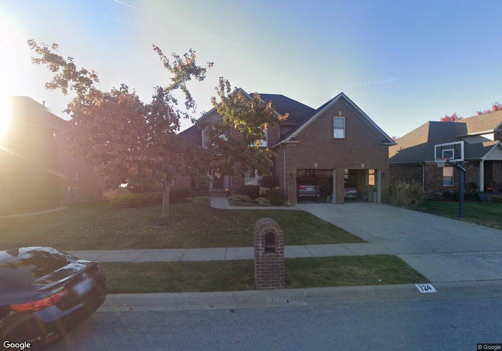
124 Prestwick Dr Georgetown, KY 40324
Southeast Scott County NeighborhoodEstimated Value: $543,000 - $598,000
--
Bed
--
Bath
2,868
Sq Ft
$197/Sq Ft
Est. Value
About This Home
This home is located at 124 Prestwick Dr, Georgetown, KY 40324 and is currently estimated at $563,602, approximately $196 per square foot. 124 Prestwick Dr is a home located in Scott County with nearby schools including Creekside Elementary School, Eastern Elementary School, and Scott County Middle School.
Ownership History
Date
Name
Owned For
Owner Type
Purchase Details
Closed on
Oct 21, 2005
Sold by
Courtney Commons Llc
Bought by
Sullivan Joshua N and Sullivan Jennifer D
Current Estimated Value
Home Financials for this Owner
Home Financials are based on the most recent Mortgage that was taken out on this home.
Original Mortgage
$250,400
Outstanding Balance
$134,026
Interest Rate
5.76%
Mortgage Type
New Conventional
Estimated Equity
$429,576
Create a Home Valuation Report for This Property
The Home Valuation Report is an in-depth analysis detailing your home's value as well as a comparison with similar homes in the area
Home Values in the Area
Average Home Value in this Area
Purchase History
| Date | Buyer | Sale Price | Title Company |
|---|---|---|---|
| Sullivan Joshua N | $313,000 | None Available |
Source: Public Records
Mortgage History
| Date | Status | Borrower | Loan Amount |
|---|---|---|---|
| Open | Sullivan Joshua N | $250,400 |
Source: Public Records
Tax History Compared to Growth
Tax History
| Year | Tax Paid | Tax Assessment Tax Assessment Total Assessment is a certain percentage of the fair market value that is determined by local assessors to be the total taxable value of land and additions on the property. | Land | Improvement |
|---|---|---|---|---|
| 2024 | $4,069 | $452,500 | $0 | $0 |
| 2023 | $3,921 | $432,500 | $50,000 | $382,500 |
| 2022 | $3,287 | $386,600 | $50,000 | $336,600 |
| 2021 | $3,506 | $372,200 | $50,000 | $322,200 |
| 2020 | $3,137 | $365,100 | $50,000 | $315,100 |
| 2019 | $3,187 | $365,100 | $0 | $0 |
| 2018 | $3,006 | $346,400 | $0 | $0 |
| 2017 | $3,021 | $346,400 | $0 | $0 |
| 2016 | $2,789 | $346,400 | $0 | $0 |
| 2015 | $2,772 | $346,400 | $0 | $0 |
| 2014 | $2,872 | $346,400 | $0 | $0 |
| 2011 | $215 | $346,400 | $0 | $0 |
Source: Public Records
Map
Nearby Homes
- 150 Sunningdale Dr
- 171 Oxford Landing Dr
- 177 Oxford Landing Dr
- 175 Oxford Landing Dr
- 181 Oxford Landing Dr
- 178 Oxford Landing Dr
- 180 Oxford Landing Dr
- 164 Oxford Landing Dr
- 166 Oxford Landing Dr
- 103 Amick Way
- 162 Limestone Ln
- The Sycamore Bend Plan at Oxford Landing - Trend Collection
- The West Haven Plan at Oxford Landing - Trend Collection
- The Granite Coast Plan at Oxford Landing - Trend Collection
- The Baldwin Expanded Plan at Oxford Landing - Traditional Collection
- The Jackson II Plan at Oxford Landing - Traditional Collection
- The Westbrook Plan at Oxford Landing - Traditional Collection
- The Carmichael Plan at Oxford Landing - Traditional Collection
- The Bayberry Lane Plan at Oxford Landing - Trend Collection
- The Talbot Plan at Oxford Landing - Traditional Collection
- 122 Prestwick Dr
- 126 Prestwick Dr
- 128 Prestwick Dr
- 125 Kingston Dr
- 123 Kingston Dr
- 106 Prestwick Dr
- 108 Prestwick Dr
- 127 Kingston Dr
- 104 Prestwick Dr
- 123 Prestwick Dr
- 127 Prestwick Dr
- 102 Prestwick Dr
- 130 Prestwick Dr
- 121 Prestwick Dr
- 129 Kingston Dr
- 129 Prestwick Dr
- 119 Prestwick Dr
- 33 Kingston Dr
- 131 Kingston Dr
- 131 Prestwick Dr