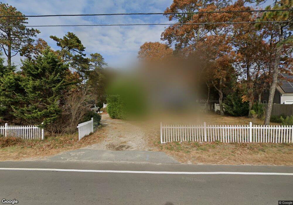
124 Queen Anne Rd Harwich, MA 02645
Northwest Harwich NeighborhoodEstimated Value: $732,000 - $840,000
3
Beds
2
Baths
1,827
Sq Ft
$419/Sq Ft
Est. Value
About This Home
This home is located at 124 Queen Anne Rd, Harwich, MA 02645 and is currently estimated at $765,977, approximately $419 per square foot. 124 Queen Anne Rd is a home located in Barnstable County with nearby schools including Harwich Elementary School, Chatham Elementary School, and Monomoy Regional Middle School.
Ownership History
Date
Name
Owned For
Owner Type
Purchase Details
Closed on
Dec 13, 2002
Sold by
Walden Corp
Bought by
Smith David B and Howard Elizabeth A
Current Estimated Value
Home Financials for this Owner
Home Financials are based on the most recent Mortgage that was taken out on this home.
Original Mortgage
$155,000
Outstanding Balance
$66,244
Interest Rate
6.17%
Mortgage Type
Purchase Money Mortgage
Estimated Equity
$699,733
Purchase Details
Closed on
Aug 15, 1994
Sold by
Hart Anthony Cushman D and Hart Anthony Karen
Bought by
Smith David B and Smith Caroline A
Purchase Details
Closed on
Mar 30, 1990
Sold by
Cranberry Pointe T
Bought by
Smith David B
Home Financials for this Owner
Home Financials are based on the most recent Mortgage that was taken out on this home.
Original Mortgage
$90,900
Interest Rate
9.96%
Mortgage Type
Purchase Money Mortgage
Create a Home Valuation Report for This Property
The Home Valuation Report is an in-depth analysis detailing your home's value as well as a comparison with similar homes in the area
Home Values in the Area
Average Home Value in this Area
Purchase History
| Date | Buyer | Sale Price | Title Company |
|---|---|---|---|
| Smith David B | $254,900 | -- | |
| Smith David B | $73,000 | -- | |
| Smith David B | $129,900 | -- |
Source: Public Records
Mortgage History
| Date | Status | Borrower | Loan Amount |
|---|---|---|---|
| Open | Smith David B | $30,000 | |
| Open | Smith David B | $155,000 | |
| Previous Owner | Smith David B | $90,900 |
Source: Public Records
Tax History Compared to Growth
Tax History
| Year | Tax Paid | Tax Assessment Tax Assessment Total Assessment is a certain percentage of the fair market value that is determined by local assessors to be the total taxable value of land and additions on the property. | Land | Improvement |
|---|---|---|---|---|
| 2025 | $3,851 | $651,600 | $177,600 | $474,000 |
| 2024 | $3,708 | $614,900 | $167,500 | $447,400 |
| 2023 | $3,563 | $536,600 | $152,300 | $384,300 |
| 2022 | $3,445 | $424,800 | $132,400 | $292,400 |
| 2021 | $3,373 | $392,200 | $120,200 | $272,000 |
| 2020 | $3,366 | $385,600 | $121,300 | $264,300 |
| 2019 | $3,251 | $375,000 | $116,500 | $258,500 |
| 2018 | $3,117 | $343,900 | $93,500 | $250,400 |
| 2017 | $2,904 | $323,700 | $73,800 | $249,900 |
| 2016 | $2,813 | $310,100 | $73,800 | $236,300 |
| 2015 | $2,209 | $246,300 | $57,900 | $188,400 |
| 2014 | $2,099 | $239,300 | $56,200 | $183,100 |
Source: Public Records
Map
Nearby Homes
- 3 Bittersweet Ln
- 3 Bentley Rd
- 2 Bassett Woods Rd
- 12 Old Campground Rd
- 18 Old Campground
- 16 Long Pond Dr
- 159 Pleasant Lake Ave
- 135 Sisson Rd
- 14 2nd St
- 11 Windjammer Rd
- 91 Depot Rd W
- 116 Parallel St
- 64 Smith St
- 37 Cyprus Rd
- 25 Black Duck Cartway
- 11 Lane Rd
- 292 Route 28 Unit 7
- 264 Massachusetts 28
- 37 Cyprus Rd
- 9 Mansion St
- 128 Queen Anne Rd
- 120 Queen Anne Rd
- 132 Queen Anne Rd
- 5 King Henry Rd
- 1 King Henry Rd
- 136 Queen Anne Rd
- 117 Queen Anne Rd
- 0 Queen Anne Rd
- 0 Queen Anne Rd Unit 1 9902548
- 0 Queen Anne Rd Unit 4 9902543
- 0 Queen Anne Rd Unit 14 2000259
- 0 Queen Anne Rd Unit 17 9902549
- 0 Queen Anne Rd Unit 9 9902546
- 0 Queen Anne Rd Unit 16 9902724
- 0 Queen Anne Rd Unit 18 9902726
- 0 Queen Anne Rd Unit 8 9902739
- 0 Queen Anne Rd Unit 9902722
- 0 Queen Anne Rd Unit 7033224
- 0 Queen Anne Rd Unit 7029031
- 0 Queen Anne Rd Unit 7033235