124 Ram Cat Rd Confluence, PA 15424
Henry Clay Township NeighborhoodEstimated Value: $59,000 - $66,584
3
Beds
1
Bath
1,040
Sq Ft
$60/Sq Ft
Est. Value
About This Home
This home is located at 124 Ram Cat Rd, Confluence, PA 15424 and is currently estimated at $62,896, approximately $60 per square foot. 124 Ram Cat Rd is a home located in Fayette County with nearby schools including Uniontown Area Senior High School.
Ownership History
Date
Name
Owned For
Owner Type
Purchase Details
Closed on
Aug 21, 2025
Sold by
Garlick Ray and Garlick James M
Bought by
Spano Douglas and Spano Tina
Current Estimated Value
Home Financials for this Owner
Home Financials are based on the most recent Mortgage that was taken out on this home.
Original Mortgage
$55,000
Outstanding Balance
$54,952
Interest Rate
6.72%
Mortgage Type
New Conventional
Estimated Equity
$7,944
Purchase Details
Closed on
Nov 12, 2019
Sold by
Bontrager Faitha J and Betker Richard G
Bought by
Garlick Ray and Garlick James M
Purchase Details
Closed on
Jan 1, 1968
Bought by
Betker Shirley I and Betker James F
Create a Home Valuation Report for This Property
The Home Valuation Report is an in-depth analysis detailing your home's value as well as a comparison with similar homes in the area
Home Values in the Area
Average Home Value in this Area
Purchase History
| Date | Buyer | Sale Price | Title Company |
|---|---|---|---|
| Spano Douglas | $60,000 | None Listed On Document | |
| Spano Douglas | $60,000 | None Listed On Document | |
| Garlick Ray | $32,000 | None Available | |
| Betker Shirley I | -- | -- |
Source: Public Records
Mortgage History
| Date | Status | Borrower | Loan Amount |
|---|---|---|---|
| Open | Spano Douglas | $55,000 | |
| Closed | Spano Douglas | $55,000 |
Source: Public Records
Tax History Compared to Growth
Tax History
| Year | Tax Paid | Tax Assessment Tax Assessment Total Assessment is a certain percentage of the fair market value that is determined by local assessors to be the total taxable value of land and additions on the property. | Land | Improvement |
|---|---|---|---|---|
| 2025 | $492 | $19,230 | $12,000 | $7,230 |
| 2024 | $469 | $19,230 | $12,000 | $7,230 |
| 2023 | $939 | $19,230 | $12,000 | $7,230 |
| 2022 | $939 | $19,230 | $12,000 | $7,230 |
| 2021 | $939 | $19,230 | $12,000 | $7,230 |
| 2020 | $1,089 | $22,835 | $12,000 | $10,835 |
| 2019 | $1,009 | $23,035 | $12,000 | $11,035 |
| 2018 | $955 | $23,035 | $12,000 | $11,035 |
| 2017 | $955 | $23,035 | $12,000 | $11,035 |
| 2016 | -- | $23,035 | $12,000 | $11,035 |
| 2015 | -- | $23,035 | $12,000 | $11,035 |
| 2014 | -- | $46,070 | $24,000 | $22,070 |
Source: Public Records
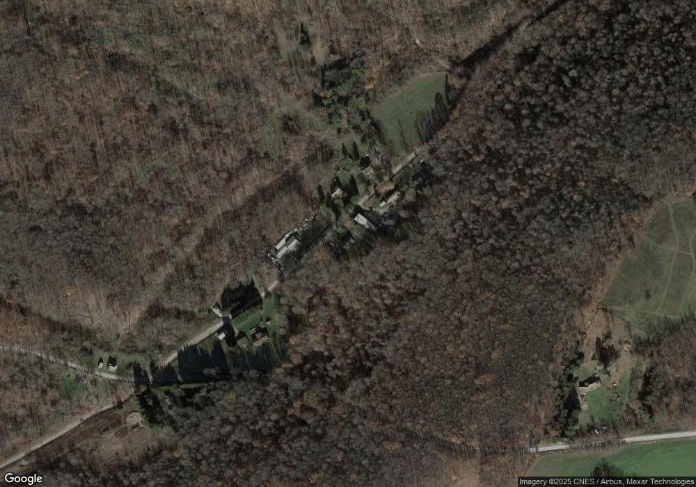
Map
Nearby Homes
- 626 Sterner St
- 100 First St
- 100 First Street Lot Unit WP001
- 833 Oden St
- 631 Meyers St
- 309 Dark Hollow Rd
- #5 & #7 Laurel Rd
- 750 Lake Side Rd
- 171 Mae Rd W
- 230 Locust Rd
- 0 Klondike Rd Unit 22177073
- 0 Klondike Rd Unit 22177082
- 0 Klondike Rd Unit 22177080
- 0 Klondike Rd Unit 22177074
- 112 New Beaver Creek Rd
- 000 National Pike
- Coon Hollow Rd
- 280 Main St
- 100 Jersey Hollow Rd
- 4700 National Pike
- 131 Ram Cat Rd
- 139 Ram Cat Rd
- 114 RaMcAt Rd
- 114 Ram Cat Rd
- 1541 Sugar Loaf Rd
- 1622 Sugar Loaf Rd
- 1536 Sugar Loaf Rd
- 1523 Sugar Loaf Rd
- 560 Taylor Rd
- 1066 Mae West Rd
- 1169 Mae West Rd
- 1185 Mae West Rd
- 1455 Sugar Loaf Rd
- 1019 Mae Rd W
- 109 Firetower Rd
- 305 Ram Cat Rd
- 127 Firetower Rd
- 1242 Mae West Rd
- 321 Ram Cat Rd
- 1241 Mae West Rd