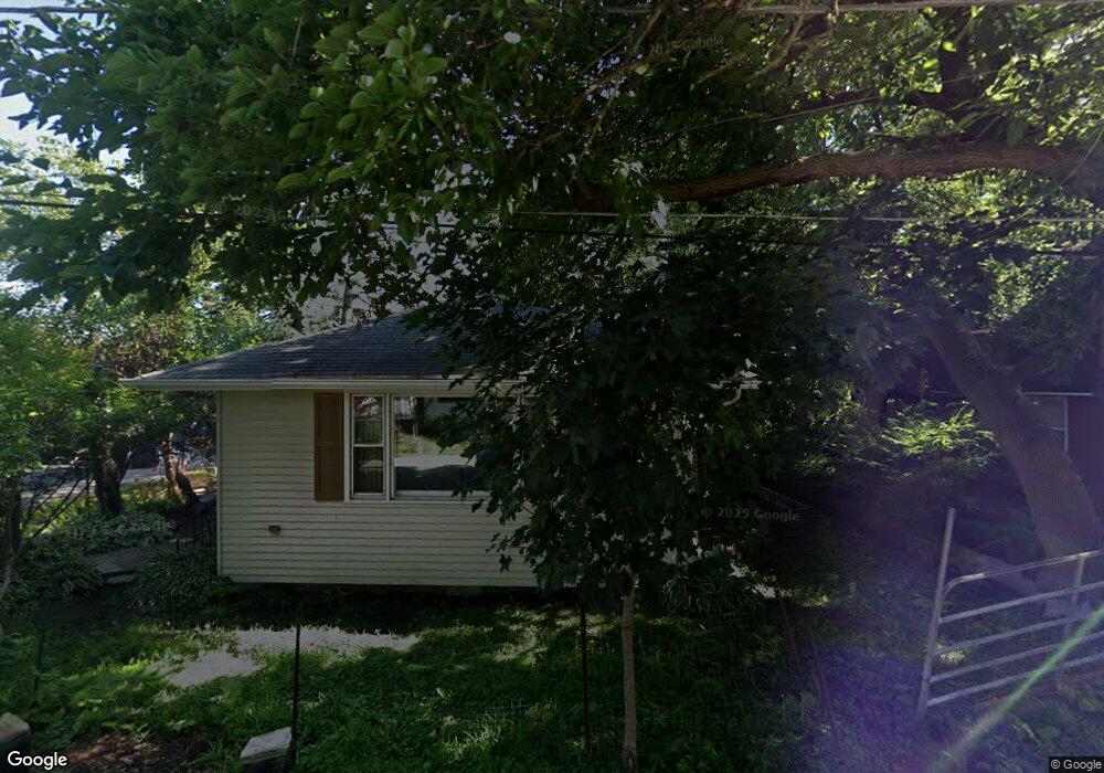
124 Roosevelt Rd Wauconda, IL 60084
Estimated Value: $157,000 - $181,597
2
Beds
1
Bath
1,000
Sq Ft
$166/Sq Ft
Est. Value
About This Home
This home is located at 124 Roosevelt Rd, Wauconda, IL 60084 and is currently estimated at $165,649, approximately $165 per square foot. 124 Roosevelt Rd is a home located in Lake County with nearby schools including Wauconda Grade School, Wauconda Middle School, and Wauconda High School.
Ownership History
Date
Name
Owned For
Owner Type
Purchase Details
Closed on
Jun 27, 2025
Sold by
Big Door Home Buyers Llc
Bought by
Duno Properties Llc
Current Estimated Value
Purchase Details
Closed on
Mar 27, 2025
Sold by
Trust Number 8002369190 and Chicago Title Land Trust Company
Bought by
Big Door Home Buyers Llc
Purchase Details
Closed on
Sep 25, 2015
Sold by
White Donald E and White Beverly E
Bought by
Chicago Title Land Trust Company and Trust #8002369190
Create a Home Valuation Report for This Property
The Home Valuation Report is an in-depth analysis detailing your home's value as well as a comparison with similar homes in the area
Home Values in the Area
Average Home Value in this Area
Purchase History
| Date | Buyer | Sale Price | Title Company |
|---|---|---|---|
| Duno Properties Llc | $160,000 | Fidelity National Title | |
| Big Door Home Buyers Llc | $147,000 | Chicago Title | |
| Chicago Title Land Trust Company | -- | Chicago Title Land Trust Co |
Source: Public Records
Tax History Compared to Growth
Tax History
| Year | Tax Paid | Tax Assessment Tax Assessment Total Assessment is a certain percentage of the fair market value that is determined by local assessors to be the total taxable value of land and additions on the property. | Land | Improvement |
|---|---|---|---|---|
| 2024 | $3,643 | $40,564 | $12,741 | $27,823 |
| 2023 | $3,643 | $37,078 | $11,646 | $25,432 |
| 2022 | $3,248 | $29,765 | $7,892 | $21,873 |
| 2021 | $3,113 | $28,125 | $7,457 | $20,668 |
| 2020 | $3,025 | $26,806 | $7,107 | $19,699 |
| 2019 | $2,696 | $25,334 | $6,717 | $18,617 |
| 2018 | $3,223 | $28,015 | $7,808 | $20,207 |
| 2017 | $3,221 | $27,691 | $7,718 | $19,973 |
| 2016 | $3,039 | $26,223 | $7,309 | $18,914 |
| 2015 | $2,879 | $24,073 | $6,710 | $17,363 |
| 2014 | $2,479 | $21,542 | $7,857 | $13,685 |
| 2012 | $2,399 | $21,235 | $7,517 | $13,718 |
Source: Public Records
Map
Nearby Homes
- 450 N Main St Unit S307A
- 450 N Main St Unit S208A
- 136 Hubbard Ct
- 125 E Mill St Unit D103
- 131 E Mill St Unit B104
- 146 E Mill St
- 311 Brown St
- 318 E Liberty St
- 136 Parkview Dr Unit 5136
- 240 Regency Ct
- 225 Regency Ct Unit A
- 28177 N Garland Rd
- 107 Hammond Ave
- 300 Barrington Rd
- 26049 N Il Route 59
- 235 Regency Ct Unit B
- 325 Sundown Ct Unit B
- 25721 W Lakeview Ave
- 25586 W High St
- 25578 W High St
- 120 Roosevelt Rd
- 130 Roosevelt Ave
- 116 Roosevelt Rd
- 418 Morning Star Ln
- 121 Roosevelt Ave
- 125 Roosevelt Rd
- 121 Roosevelt Rd
- 114 Roosevelt Ave
- 114 Roosevelt Rd
- 416 Morning Star Ln
- 117 Roosevelt Rd
- 406 Morning Star Ln
- 113 Roosevelt Ave
- 113 Roosevelt Rd
- 440 N Main St Unit E105
- 440 N Main St Unit E304
- 440 N Main St Unit E407A
- 440 N Main St Unit E307A
- 440 N Main St Unit E207A
- 440 N Main St Unit E107A