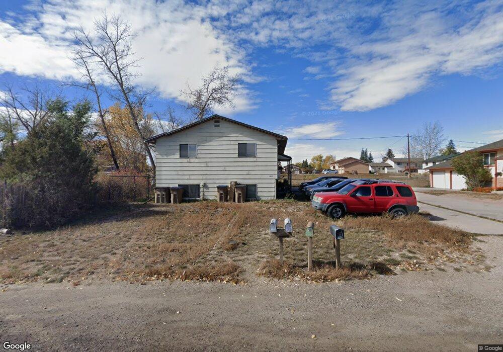
124 S Adams St Unit A Laramie, WY 82070
Estimated Value: $342,000 - $548,000
4
Beds
2
Baths
1,040
Sq Ft
$392/Sq Ft
Est. Value
About This Home
This home is located at 124 S Adams St Unit A, Laramie, WY 82070 and is currently estimated at $407,688, approximately $392 per square foot. 124 S Adams St Unit A is a home located in Albany County with nearby schools including Velma Linford Elementary School, Laramie Middle School, and Laramie High School.
Ownership History
Date
Name
Owned For
Owner Type
Purchase Details
Closed on
Jan 31, 2008
Sold by
Blowers Catherine Grace
Bought by
Tryon Jeanette S
Current Estimated Value
Home Financials for this Owner
Home Financials are based on the most recent Mortgage that was taken out on this home.
Original Mortgage
$164,700
Outstanding Balance
$104,376
Interest Rate
6.15%
Mortgage Type
Seller Take Back
Estimated Equity
$303,312
Create a Home Valuation Report for This Property
The Home Valuation Report is an in-depth analysis detailing your home's value as well as a comparison with similar homes in the area
Home Values in the Area
Average Home Value in this Area
Purchase History
| Date | Buyer | Sale Price | Title Company |
|---|---|---|---|
| Tryon Jeanette S | -- | -- |
Source: Public Records
Mortgage History
| Date | Status | Borrower | Loan Amount |
|---|---|---|---|
| Open | Tryon Jeanette S | $164,700 |
Source: Public Records
Tax History Compared to Growth
Tax History
| Year | Tax Paid | Tax Assessment Tax Assessment Total Assessment is a certain percentage of the fair market value that is determined by local assessors to be the total taxable value of land and additions on the property. | Land | Improvement |
|---|---|---|---|---|
| 2025 | $1,861 | $32,956 | $5,785 | $27,171 |
| 2024 | $1,861 | $25,495 | $4,645 | $20,850 |
| 2023 | $1,848 | $25,311 | $4,645 | $20,666 |
| 2022 | $1,567 | $21,469 | $4,645 | $16,824 |
| 2021 | $0 | $19,657 | $4,645 | $15,012 |
| 2020 | $1,354 | $18,551 | $4,212 | $14,339 |
| 2019 | $1,289 | $17,660 | $4,212 | $13,448 |
| 2018 | $1,191 | $16,313 | $3,553 | $12,760 |
| 2017 | $1,193 | $16,347 | $3,553 | $12,794 |
| 2016 | $1,103 | $15,107 | $3,316 | $11,791 |
| 2015 | $1,099 | $15,436 | $4,516 | $10,920 |
| 2014 | $1,099 | $15,060 | $0 | $0 |
Source: Public Records
Map
Nearby Homes
- 153 N Adams St
- 262 N Taylor St Unit 5
- 427 S Pierce St
- 370 S Buchanan St
- 2075 Jefferson St
- 174 N Colorado Ave
- 2166 W Wyoming Ave Unit 29
- 2166 W Wyoming Ave Unit 25
- 529 S Pierce St
- TBD LOT 2 N Mccue St
- TBD N Mccue St
- 1866 Truman St
- 1572 Westview Ct
- 1560 Westview Ct
- 1666 Westview Dr
- 1561 Westview Ct
- 954 N McCue St Lot 93 St
- 1567 Westview Ct
- 1990 Truman St
- 627 S Colorado Ave
- 116 S Adams St Unit A
- 128 S Adams St
- 106 S Adams St Unit A
- 106 S Adams St
- 1564 Wyoming Ave
- 123 S Taylor St
- 129 S Taylor St
- 121 S Adams St
- 1565 W Jefferson St
- 107 S Taylor St Unit A
- 133 S Adams St
- 103 S Adams St
- 137 S Adams St
- 1551 Wyoming Ave
- 1551 Wyoming Ave Unit A
- 1660 Wyoming Ave
- 1553 Wyoming Ave
- 124 S Taylor St Unit A
- 118 S Taylor St Unit A
- 130 S Taylor St