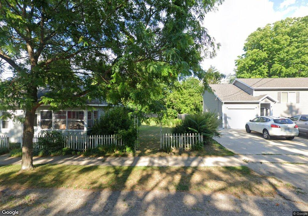
124 S Grant St NE Cedar Springs, MI 49319
Estimated Value: $207,307 - $230,000
2
Beds
1
Bath
1
Sq Ft
$218,827/Sq Ft
Est. Value
About This Home
This home is located at 124 S Grant St NE, Cedar Springs, MI 49319 and is currently estimated at $218,827, approximately $218,827 per square foot. 124 S Grant St NE is a home located in Kent County with nearby schools including Cedar Trails Elementary School, Red Hawk Intermediate School, and Beach Elementary School.
Ownership History
Date
Name
Owned For
Owner Type
Purchase Details
Closed on
Sep 19, 2024
Sold by
Delmotte Austin and Delmotte Rebekah
Bought by
Blac Investments Llc
Current Estimated Value
Purchase Details
Closed on
Mar 5, 2019
Sold by
Us Bank National Association
Bought by
Delmotte Austin and Delmotte Rebekah
Purchase Details
Closed on
Apr 25, 2018
Sold by
House Robin Arlen
Bought by
U S Bank National Association
Purchase Details
Closed on
Nov 30, 2004
Sold by
Tissue Troy D and Tissue Carri L
Bought by
House Robin Arlene
Home Financials for this Owner
Home Financials are based on the most recent Mortgage that was taken out on this home.
Original Mortgage
$67,600
Interest Rate
6.61%
Mortgage Type
Purchase Money Mortgage
Create a Home Valuation Report for This Property
The Home Valuation Report is an in-depth analysis detailing your home's value as well as a comparison with similar homes in the area
Home Values in the Area
Average Home Value in this Area
Purchase History
| Date | Buyer | Sale Price | Title Company |
|---|---|---|---|
| Blac Investments Llc | -- | Irongate Title Agency | |
| Delmotte Austin | $72,500 | None Available | |
| U S Bank National Association | $85,975 | None Available | |
| House Robin Arlene | $84,500 | -- |
Source: Public Records
Mortgage History
| Date | Status | Borrower | Loan Amount |
|---|---|---|---|
| Previous Owner | House Robin Arlene | $67,600 |
Source: Public Records
Tax History Compared to Growth
Tax History
| Year | Tax Paid | Tax Assessment Tax Assessment Total Assessment is a certain percentage of the fair market value that is determined by local assessors to be the total taxable value of land and additions on the property. | Land | Improvement |
|---|---|---|---|---|
| 2025 | $3,271 | $88,300 | $0 | $0 |
| 2024 | $3,271 | $75,600 | $0 | $0 |
| 2023 | $3,115 | $65,000 | $0 | $0 |
| 2022 | $3,099 | $58,800 | $0 | $0 |
| 2021 | $3,053 | $52,900 | $0 | $0 |
| 2020 | $2,088 | $46,600 | $0 | $0 |
| 2019 | $2,020 | $43,000 | $0 | $0 |
| 2018 | $1,860 | $37,300 | $0 | $0 |
| 2017 | $1,740 | $31,300 | $0 | $0 |
| 2016 | $1,891 | $31,000 | $0 | $0 |
| 2015 | -- | $31,000 | $0 | $0 |
| 2013 | -- | $29,800 | $0 | $0 |
Source: Public Records
Map
Nearby Homes
- 17 E Muskegon St
- 322 E Ash St NE
- 179 S 2nd St
- 197 E Elm St
- 226 Cedar St NE
- 134 N 5th St NE
- 295 8th St NE
- 373 Cedar St NE
- 5312 18 Mile Rd NE
- 364 Prairie Run Dr
- 4398 17 Mile Rd NE
- 320 W Pine St NE
- 360 Tall Grass Dr
- 551 Snow Pine Ct
- 500 Needlewood Dr NE
- 520 Hawk Wood Ct
- 570 Hawk Wood Ct
- 541 Snow Pine Ct
- 540 Hawk Wood Ct
- 551 Hawk Wood Ct
- 120 S Grant St
- 132 S Grant St
- 132 S Grant St
- 108 S Grant St
- 144 S Grant St
- 129 S Grant St
- 128 E Beech St
- 80 E Beech St
- 128 E Beech St NE
- 150 S Grant St
- 131 S Grant St
- 140 E Beech St
- 140 E Beech St NE
- 133 S Park St
- 92 S Grant St
- 81 E Church St
- 92 S Grant St NE
- 154 S Grant St
- 154 S Grant St NE
- 145 S Park St