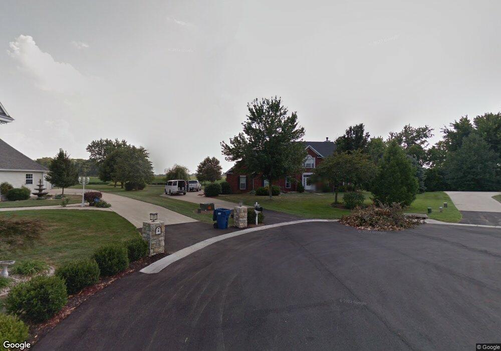
124 S Lindenwood Dr Collinsville, IL 62234
Estimated Value: $431,000 - $543,000
4
Beds
5
Baths
2,948
Sq Ft
$170/Sq Ft
Est. Value
About This Home
This home is located at 124 S Lindenwood Dr, Collinsville, IL 62234 and is currently estimated at $501,430, approximately $170 per square foot. 124 S Lindenwood Dr is a home located in Madison County with nearby schools including Dorris Intermediate School, Twin Echo Elementary School, and Collinsville Middle School.
Ownership History
Date
Name
Owned For
Owner Type
Purchase Details
Closed on
Jul 1, 2025
Sold by
Robertson Britt and Robertson Jennifer L
Bought by
Britton G Robertson Trust and Jennifer L Robertson Trust
Current Estimated Value
Purchase Details
Closed on
Jan 12, 2009
Sold by
Schriewer Kurt W and Schriewer Sharon A
Bought by
Robertson Britton and Robertson Jennifer
Home Financials for this Owner
Home Financials are based on the most recent Mortgage that was taken out on this home.
Original Mortgage
$295,200
Interest Rate
5.53%
Mortgage Type
Unknown
Create a Home Valuation Report for This Property
The Home Valuation Report is an in-depth analysis detailing your home's value as well as a comparison with similar homes in the area
Home Values in the Area
Average Home Value in this Area
Purchase History
| Date | Buyer | Sale Price | Title Company |
|---|---|---|---|
| Britton G Robertson Trust | -- | None Available | |
| Robertson Britton | $369,000 | Fatic |
Source: Public Records
Mortgage History
| Date | Status | Borrower | Loan Amount |
|---|---|---|---|
| Previous Owner | Robertson Britton | $295,200 |
Source: Public Records
Tax History Compared to Growth
Tax History
| Year | Tax Paid | Tax Assessment Tax Assessment Total Assessment is a certain percentage of the fair market value that is determined by local assessors to be the total taxable value of land and additions on the property. | Land | Improvement |
|---|---|---|---|---|
| 2024 | $8,797 | $148,590 | $23,780 | $124,810 |
| 2023 | $8,797 | $137,530 | $22,010 | $115,520 |
| 2022 | $8,383 | $127,170 | $20,350 | $106,820 |
| 2021 | $7,563 | $119,480 | $19,120 | $100,360 |
| 2020 | $6,889 | $107,730 | $17,170 | $90,560 |
| 2019 | $6,720 | $104,040 | $16,580 | $87,460 |
| 2018 | $6,590 | $98,560 | $15,710 | $82,850 |
| 2017 | $6,613 | $96,600 | $15,400 | $81,200 |
| 2016 | $7,003 | $96,600 | $15,400 | $81,200 |
| 2015 | $6,454 | $93,090 | $17,090 | $76,000 |
| 2014 | $6,454 | $93,090 | $17,090 | $76,000 |
| 2013 | $6,454 | $93,090 | $17,090 | $76,000 |
Source: Public Records
Map
Nearby Homes
- 28 Woodford Way
- 1821 Orr Ln
- 1909 Windcrest Dr
- 7001 Lockmann Rd
- 124 Long Branch Ln
- 678 Prato Ct
- 6430 Lebanon Rd
- 690 Vinci Dr
- 1128 Pisa Dr
- 1229 Gladys St
- 7650 Jeffrey Ct
- 1301 Gladys St
- 1240 Pausch Rd Unit 6.65 ac
- 1240 Pausch Rd
- 1240 Pausch Rd Unit 39.72 ac
- 115 Cobblestone Hill
- 238 Mill St
- 28 Geneva Dr
- 1322 Leland St
- 921 Prospect St
- 120 S Lindenwood Dr
- 116 S Lindenwood Dr
- 117 S Lindenwood Dr
- 112 S Lindenwood Dr
- 113 S Lindenwood Dr
- 33 Hillsborough Dr
- 29 Hillsborough Dr
- 9 Oakleigh Dr
- 25 Hillsborough Dr
- 108 S Lindenwood Dr
- 10 Oakleigh Dr
- 37 Hillsborough Dr
- 8 Oakleigh Dr
- 105 S Lindenwood Dr
- 17 Hillsborough Dr
- 104 Linda Dr
- 32 Hillsborough Dr
- 28 Hillsborough Dr
- 11 Oakleigh Dr
- 13 Hillsborough Dr