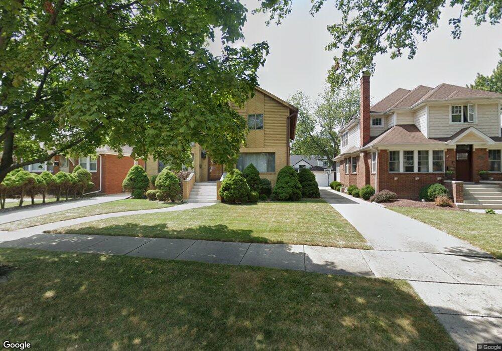
124 S Merrill St Park Ridge, IL 60068
Estimated Value: $704,000 - $874,000
4
Beds
1
Bath
2,727
Sq Ft
$281/Sq Ft
Est. Value
About This Home
This home is located at 124 S Merrill St, Park Ridge, IL 60068 and is currently estimated at $765,661, approximately $280 per square foot. 124 S Merrill St is a home located in Cook County with nearby schools including Eugene Field Elementary School, Emerson Middle School, and Maine South High School.
Ownership History
Date
Name
Owned For
Owner Type
Purchase Details
Closed on
Oct 20, 2005
Sold by
Nichols Myra
Bought by
Nichols Myra
Current Estimated Value
Home Financials for this Owner
Home Financials are based on the most recent Mortgage that was taken out on this home.
Original Mortgage
$40,600
Interest Rate
6.49%
Mortgage Type
New Conventional
Purchase Details
Closed on
Dec 13, 1993
Sold by
Basile Frank G and Basile Natalie
Bought by
Nichols Myra
Create a Home Valuation Report for This Property
The Home Valuation Report is an in-depth analysis detailing your home's value as well as a comparison with similar homes in the area
Home Values in the Area
Average Home Value in this Area
Purchase History
| Date | Buyer | Sale Price | Title Company |
|---|---|---|---|
| Nichols Myra | -- | None Available | |
| Nichols Myra | -- | -- | |
| Nichols Myra | $260,000 | -- |
Source: Public Records
Mortgage History
| Date | Status | Borrower | Loan Amount |
|---|---|---|---|
| Closed | Nichols Myra | $40,600 |
Source: Public Records
Tax History Compared to Growth
Tax History
| Year | Tax Paid | Tax Assessment Tax Assessment Total Assessment is a certain percentage of the fair market value that is determined by local assessors to be the total taxable value of land and additions on the property. | Land | Improvement |
|---|---|---|---|---|
| 2024 | $14,263 | $58,519 | $13,005 | $45,514 |
| 2023 | $14,263 | $61,000 | $13,005 | $47,995 |
| 2022 | $14,263 | $61,000 | $13,005 | $47,995 |
| 2021 | $13,945 | $51,846 | $8,032 | $43,814 |
| 2020 | $13,512 | $51,846 | $8,032 | $43,814 |
| 2019 | $13,240 | $56,974 | $8,032 | $48,942 |
| 2018 | $12,990 | $51,575 | $6,885 | $44,690 |
| 2017 | $12,174 | $51,575 | $6,885 | $44,690 |
| 2016 | $12,976 | $51,575 | $6,885 | $44,690 |
| 2015 | $13,466 | $46,285 | $5,737 | $40,548 |
| 2014 | $13,218 | $46,285 | $5,737 | $40,548 |
| 2013 | $12,502 | $46,285 | $5,737 | $40,548 |
Source: Public Records
Map
Nearby Homes
- 460 S Northwest Hwy Unit 307A
- 400 S Northwest Hwy Unit 312B
- 6919 N Overhill Ave
- 7039 N Ottawa Ave
- 7101 N Ottawa Ave
- 6852 N Northwest Hwy Unit 2B
- 6858 N Northwest Hwy Unit 2E
- 6841 N Northwest Hwy Unit 3C
- 7062 N Oriole Ave
- 249 S Vine Ave Unit B
- 320 Grant Place
- 7255 N Oriole Ave
- 7246 N Oleander Ave
- 7215 N Olcott Ave
- 6681 N Northwest Hwy
- 7005 N Osceola Ave
- 718 S Washington Ave
- 7324 W Lunt Ave
- 7441 N Oriole Ave
- 170 N Northwest Hwy Unit 410
- 128 S Merrill St
- 120 S Merrill St
- 132 S Merrill St
- 116 S Merrill St
- 202 S Merrill St
- 112 S Merrill St
- 125 Berry Pkwy
- 125 Berry Pkwy
- 155 Berry Pkwy
- 115 Berry Pkwy
- 7047 N Ozanam Ave
- 206 S Merrill St
- 7107 N Ozanam Ave
- 108 S Merrill St
- 7101 N Ozanam Ave
- 7049 N Ozanam Ave
- 203 Berry Pkwy
- 111 Berry Pkwy
- 7041 N Ozanam Ave
- 7111 N Ozanam Ave