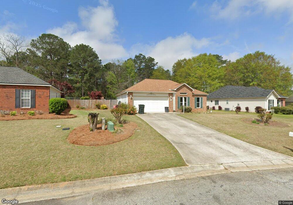
124 Saint Brendands Dr Bonaire, GA 31005
Estimated Value: $208,000 - $234,616
3
Beds
2
Baths
1,300
Sq Ft
$173/Sq Ft
Est. Value
About This Home
This home is located at 124 Saint Brendands Dr, Bonaire, GA 31005 and is currently estimated at $225,404, approximately $173 per square foot. 124 Saint Brendands Dr is a home located in Houston County with nearby schools including Hilltop Elementary School, Bonaire Middle School, and Veterans High School.
Ownership History
Date
Name
Owned For
Owner Type
Purchase Details
Closed on
May 23, 2012
Sold by
Lafrance Donald W and Lafrance Diana M
Bought by
Schosser Charles E
Current Estimated Value
Home Financials for this Owner
Home Financials are based on the most recent Mortgage that was taken out on this home.
Original Mortgage
$116,303
Outstanding Balance
$80,618
Interest Rate
3.91%
Mortgage Type
New Conventional
Estimated Equity
$144,786
Purchase Details
Closed on
Feb 26, 1999
Sold by
Papazon Enterprises Inc
Bought by
Lafrance Donald W and Diana M*
Purchase Details
Closed on
Aug 14, 1998
Bought by
Papazon Enterprises Inc
Create a Home Valuation Report for This Property
The Home Valuation Report is an in-depth analysis detailing your home's value as well as a comparison with similar homes in the area
Home Values in the Area
Average Home Value in this Area
Purchase History
| Date | Buyer | Sale Price | Title Company |
|---|---|---|---|
| Schosser Charles E | $119,900 | None Available | |
| Lafrance Donald W | $89,000 | -- | |
| Papazon Enterprises Inc | -- | -- |
Source: Public Records
Mortgage History
| Date | Status | Borrower | Loan Amount |
|---|---|---|---|
| Open | Schosser Charles E | $116,303 |
Source: Public Records
Tax History Compared to Growth
Tax History
| Year | Tax Paid | Tax Assessment Tax Assessment Total Assessment is a certain percentage of the fair market value that is determined by local assessors to be the total taxable value of land and additions on the property. | Land | Improvement |
|---|---|---|---|---|
| 2024 | $2,551 | $77,960 | $8,000 | $69,960 |
| 2023 | $1,807 | $54,800 | $8,000 | $46,800 |
| 2022 | $1,247 | $54,240 | $8,000 | $46,240 |
| 2021 | $1,149 | $49,720 | $8,000 | $41,720 |
| 2020 | $1,023 | $44,040 | $7,600 | $36,440 |
| 2019 | $1,023 | $44,040 | $7,600 | $36,440 |
| 2018 | $1,023 | $44,040 | $7,600 | $36,440 |
| 2017 | $1,024 | $44,040 | $7,600 | $36,440 |
| 2016 | $1,026 | $44,040 | $7,600 | $36,440 |
| 2015 | -- | $43,320 | $7,600 | $35,720 |
| 2014 | -- | $43,320 | $7,600 | $35,720 |
| 2013 | -- | $43,320 | $7,600 | $35,720 |
Source: Public Records
Map
Nearby Homes
- 103 Lions Gate
- 101 Shamrock Ct
- 104 Robin Dr
- 510 Mount Zion Rd
- 510 Mt Zion Rd
- 224 Red Bird Cir
- 106 Blossom Ct
- 202 Red Bird Cir
- 208 Golden Eagle Dr
- 113 Galaxy Ave
- 105 Spring Chase Cir
- 404 Jubilee Cir
- 229 Meadows Ln Unit 193
- 214 Meadows Ln Unit 226
- 212 Meadows Ln Unit 225
- 100 Billington Ct
- 308 Peach Blossom Rd
- 115 N Hiley Ct
- 124 St Brendands Dr
- 126 Saint Brendands Dr
- 122 Saint Brendands Dr
- 128 St Brendands Dr
- 128 Saint Brendands Dr
- 0 Snowmass Ct
- 115 Saint Brendands Dr
- 113 St Brendands Dr
- 113 Saint Brendands Dr
- 120 Saint Brendands Dr
- 120 Brendands Dr
- 200 Saint Brendands Dr
- 118 St Brendands Dr
- 118 Saint Brendands Dr
- 201 St Brendands Dr
- 111 Saint Brendands Dr
- 111 St Brendands Dr
- 201 Saint Brendands Dr
- 103 Snowmass Ct
- 202 Saint Brendands Dr