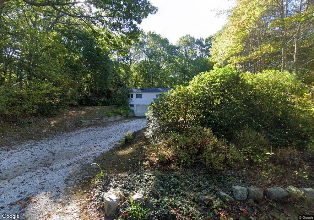
124 Sanctuary Rd Charlestown, RI 02813
Estimated Value: $660,000 - $843,000
3
Beds
2
Baths
1,624
Sq Ft
$464/Sq Ft
Est. Value
About This Home
This home is located at 124 Sanctuary Rd, Charlestown, RI 02813 and is currently estimated at $753,133, approximately $463 per square foot. 124 Sanctuary Rd is a home with nearby schools including Chariho Regional Middle School and Chariho High School.
Ownership History
Date
Name
Owned For
Owner Type
Purchase Details
Closed on
Feb 11, 2021
Sold by
Audette Robert E and Audette Linda L
Bought by
Audette Robert E
Current Estimated Value
Purchase Details
Closed on
Jan 10, 2014
Sold by
Beatrice C Bradshaw Lt
Bought by
Audette Robert E and Audette Linda L
Home Financials for this Owner
Home Financials are based on the most recent Mortgage that was taken out on this home.
Original Mortgage
$80,000
Interest Rate
4.29%
Mortgage Type
New Conventional
Create a Home Valuation Report for This Property
The Home Valuation Report is an in-depth analysis detailing your home's value as well as a comparison with similar homes in the area
Home Values in the Area
Average Home Value in this Area
Purchase History
| Date | Buyer | Sale Price | Title Company |
|---|---|---|---|
| Audette Robert E | -- | None Available | |
| Audette Robert E | $120,000 | -- |
Source: Public Records
Mortgage History
| Date | Status | Borrower | Loan Amount |
|---|---|---|---|
| Previous Owner | Audette Robert E | $80,000 |
Source: Public Records
Tax History Compared to Growth
Tax History
| Year | Tax Paid | Tax Assessment Tax Assessment Total Assessment is a certain percentage of the fair market value that is determined by local assessors to be the total taxable value of land and additions on the property. | Land | Improvement |
|---|---|---|---|---|
| 2025 | $2,784 | $469,500 | $143,800 | $325,700 |
| 2024 | $2,714 | $469,500 | $143,800 | $325,700 |
| 2023 | $2,695 | $469,500 | $143,800 | $325,700 |
| 2022 | $3,083 | $377,300 | $112,100 | $265,200 |
| 2021 | $3,086 | $377,300 | $112,100 | $265,200 |
| 2020 | $3,105 | $377,300 | $112,100 | $265,200 |
| 2019 | $2,190 | $237,300 | $112,100 | $125,200 |
| 2018 | $1,879 | $194,900 | $112,100 | $82,800 |
| 2017 | $1,258 | $131,200 | $112,100 | $19,100 |
| 2016 | $104 | $10,200 | $10,200 | $0 |
| 2015 | $1,030 | $101,900 | $101,900 | $0 |
| 2014 | $1,012 | $102,200 | $101,900 | $300 |
Source: Public Records
Map
Nearby Homes
- 0 Post Rd Unit 1398131
- 0 Post Rd Unit 1349033
- 154 Kings Factory Rd
- 27 W Willow Ln
- 4772 Old Post Rd
- 473 Klondike Rd
- 19 W Spruce St
- 5717 Post Rd
- 49 West Way
- 150 Southern Way
- 170 W Beach Rd
- 4459 Old Post Rd
- 155 Kings Factory Rd
- 10 Laurel Rd
- 135 Ross Hill Rd
- 194 Ross Hill Rd
- 129 Peckham Hollow Rd
- 5259 Old Post Rd
- 4960 S County Trail
- 130 S Niantic Dr
- 130 Sanctuary Rd
- 118 Sanctuary Rd
- 114 Sanctuary Rd
- 134 Sanctuary Rd
- 112 Sanctuary Rd
- 108 Sanctuary Rd
- 106 Sanctuary Rd
- 100 Sanctuary Rd
- 140 Sanctuary Rd
- 137 Sanctuary Rd
- 137 Sanctuary Rd Unit B
- 83 Sanctuary Rd
- 0 Sanctuary Rd
- 152 Sanctuary Rd
- 80 Montauk Rd
- 102 Sanctuary Rd
- 86 Montauk Rd
- 15 Duhamel Ave
- 156 Sanctuary Rd
- 23 Duhamel Ave