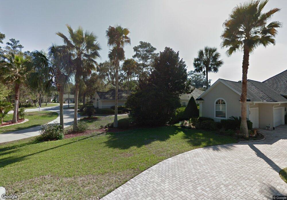
124 Seabury Cir Ponte Vedra Beach, FL 32082
Estimated Value: $1,295,228 - $1,484,000
5
Beds
4
Baths
3,339
Sq Ft
$415/Sq Ft
Est. Value
About This Home
This home is located at 124 Seabury Cir, Ponte Vedra Beach, FL 32082 and is currently estimated at $1,386,307, approximately $415 per square foot. 124 Seabury Cir is a home located in St. Johns County with nearby schools including Ponte Vedra Palm Valley - Rawlings Elementary School, Alice B. Landrum Middle School, and Ponte Vedra High School.
Ownership History
Date
Name
Owned For
Owner Type
Purchase Details
Closed on
Jul 2, 2009
Sold by
Angers Blake J and Angers Rachel L
Bought by
Rapp Richard A and Rapp Susan
Current Estimated Value
Purchase Details
Closed on
Jul 1, 2002
Sold by
Kracht Harold A and Kracht Barbara
Bought by
Angers Blake J and Angers Rachel L
Home Financials for this Owner
Home Financials are based on the most recent Mortgage that was taken out on this home.
Original Mortgage
$480,000
Interest Rate
6.75%
Create a Home Valuation Report for This Property
The Home Valuation Report is an in-depth analysis detailing your home's value as well as a comparison with similar homes in the area
Home Values in the Area
Average Home Value in this Area
Purchase History
| Date | Buyer | Sale Price | Title Company |
|---|---|---|---|
| Rapp Richard A | $654,600 | Americas Choice Title Co | |
| Angers Blake J | $600,000 | -- |
Source: Public Records
Mortgage History
| Date | Status | Borrower | Loan Amount |
|---|---|---|---|
| Previous Owner | Angers Blake J | $480,000 |
Source: Public Records
Tax History Compared to Growth
Tax History
| Year | Tax Paid | Tax Assessment Tax Assessment Total Assessment is a certain percentage of the fair market value that is determined by local assessors to be the total taxable value of land and additions on the property. | Land | Improvement |
|---|---|---|---|---|
| 2025 | $8,600 | $738,602 | -- | -- |
| 2024 | $8,600 | $717,786 | -- | -- |
| 2023 | $8,600 | $696,880 | $0 | $0 |
| 2022 | $8,392 | $676,583 | $0 | $0 |
| 2021 | $8,361 | $656,877 | $0 | $0 |
| 2020 | $8,338 | $647,808 | $0 | $0 |
| 2019 | $8,523 | $633,243 | $0 | $0 |
| 2018 | $8,640 | $596,066 | $0 | $0 |
| 2017 | $8,745 | $591,898 | $140,000 | $451,898 |
| 2016 | $8,636 | $564,512 | $0 | $0 |
| 2015 | $9,027 | $582,018 | $0 | $0 |
| 2014 | $8,274 | $521,346 | $0 | $0 |
Source: Public Records
Map
Nearby Homes
- 6533 Burnham Cir
- 293 Water's Edge Dr S
- 6515 Burnham Cir
- 264 Roscoe Blvd N
- 3076 Cypress Creek Dr N
- 3001 Cypress Creek Dr E
- 8115 Seven Mile Dr
- 244 Roscoe Blvd N
- 5119 Otter Creek Dr
- 1200 Salt Creek Pointe Way
- 2030 Palmetto Point Dr
- 231 N Roscoe Blvd
- 161 Indian Cove Ln
- 24469 Harbour View Dr
- 1160 Salt Marsh Cir
- 180 Bermuda Ct
- 146 Bermuda Ct
- 44-48 Roscoe Blvd N
- 50-54 Roscoe Blvd N
- 52 Roscoe Blvd N
- 120 Seabury Cir
- 128 Seabury Cir
- 112 Putters Way
- 116 Seabury Cir
- 113 Putters Way
- 141 S Bend Dr
- 108 Putters Way
- 108 Putter's Way
- 112 Seabury Cir
- 109 Putters Way
- 0 Seabury Cir
- 148 Waters Edge Dr N
- 132 S Bend Dr
- 104 Putters Way
- 104 Putter's Way
- 105 Putters Way
- 136 S Bend Dr
- 128 S Bend Dr
- 140 S Bend Dr
- 100 Putters Way