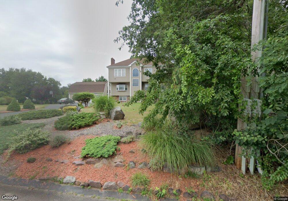
124 Smith Ave Stoughton, MA 02072
Estimated Value: $717,322 - $968,000
4
Beds
2
Baths
2,997
Sq Ft
$278/Sq Ft
Est. Value
About This Home
This home is located at 124 Smith Ave, Stoughton, MA 02072 and is currently estimated at $833,831, approximately $278 per square foot. 124 Smith Ave is a home located in Norfolk County with nearby schools including Helen Hansen Elementary School, O'Donnell Middle School, and Stoughton High School.
Ownership History
Date
Name
Owned For
Owner Type
Purchase Details
Closed on
Oct 7, 2022
Sold by
Asulin Yehuda and Asulin Cheryl
Bought by
Asulin
Current Estimated Value
Purchase Details
Closed on
May 9, 1989
Sold by
Katz Martin S
Bought by
Knight W Allan
Home Financials for this Owner
Home Financials are based on the most recent Mortgage that was taken out on this home.
Original Mortgage
$131,150
Interest Rate
11.13%
Mortgage Type
Purchase Money Mortgage
Create a Home Valuation Report for This Property
The Home Valuation Report is an in-depth analysis detailing your home's value as well as a comparison with similar homes in the area
Home Values in the Area
Average Home Value in this Area
Purchase History
| Date | Buyer | Sale Price | Title Company |
|---|---|---|---|
| Asulin | -- | None Available | |
| Asulin | -- | None Available | |
| Asulin | -- | None Available | |
| Knight W Allan | $174,900 | -- | |
| Knight W Allan | $174,900 | -- |
Source: Public Records
Mortgage History
| Date | Status | Borrower | Loan Amount |
|---|---|---|---|
| Previous Owner | Knight W Allan | $135,000 | |
| Previous Owner | Knight W Allan | $124,000 | |
| Previous Owner | Knight W Allan | $131,150 |
Source: Public Records
Tax History
| Year | Tax Paid | Tax Assessment Tax Assessment Total Assessment is a certain percentage of the fair market value that is determined by local assessors to be the total taxable value of land and additions on the property. | Land | Improvement |
|---|---|---|---|---|
| 2025 | $7,393 | $597,200 | $223,600 | $373,600 |
| 2024 | $7,187 | $564,600 | $204,300 | $360,300 |
| 2023 | $7,074 | $522,100 | $186,700 | $335,400 |
| 2022 | $6,924 | $480,500 | $179,600 | $300,900 |
| 2021 | $6,606 | $437,500 | $158,500 | $279,000 |
| 2020 | $6,427 | $431,600 | $158,500 | $273,100 |
| 2019 | $6,291 | $410,100 | $158,500 | $251,600 |
| 2018 | $5,702 | $385,000 | $155,000 | $230,000 |
| 2017 | $5,496 | $379,300 | $153,200 | $226,100 |
| 2016 | $5,358 | $357,900 | $144,400 | $213,500 |
| 2015 | $5,261 | $347,700 | $135,600 | $212,100 |
| 2014 | $5,169 | $328,400 | $123,300 | $205,100 |
Source: Public Records
Map
Nearby Homes
- 4 Robinette Rd
- 18 Mallard Dr
- 102 Chisholm Rd
- 12 Eastwood Rd
- 61 Lincoln Rd
- 84 Kim Terrace
- 90 Charles Cir
- 72 Kim Terrace Unit C
- 70 Deerfield Rd
- 34 Copperwood Dr Unit 34
- 438 School St
- 2196 Central St
- 11 Wilshire Dr
- 72 Copperwood Dr Unit 19
- 62 Bishop Rd
- 52 Edward Dr Unit 52
- 6 Jessica Dr Unit E
- 55 Brian Dr Unit G
- 12 Greenbrook Dr
- 109 Greenbrook Dr Unit 109
Your Personal Tour Guide
Ask me questions while you tour the home.