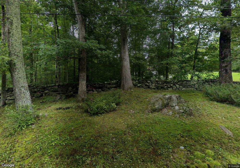
124 Spaulding Rd Brooklyn, CT 06234
Brooklyn NeighborhoodEstimated Value: $352,000 - $631,000
1
Bed
2
Baths
1,538
Sq Ft
$336/Sq Ft
Est. Value
About This Home
This home is located at 124 Spaulding Rd, Brooklyn, CT 06234 and is currently estimated at $516,963, approximately $336 per square foot. 124 Spaulding Rd is a home with nearby schools including Brooklyn Elementary School and Brooklyn Middle School.
Ownership History
Date
Name
Owned For
Owner Type
Purchase Details
Closed on
May 10, 2017
Sold by
Johnson 3Rd Robert G and Butler Lori A
Bought by
Johnson Robert G and Johnson Doris M
Current Estimated Value
Purchase Details
Closed on
Jun 20, 2016
Sold by
Scott A Green T
Bought by
Johnson 3Rd Robert G and Butler Lori A
Create a Home Valuation Report for This Property
The Home Valuation Report is an in-depth analysis detailing your home's value as well as a comparison with similar homes in the area
Home Values in the Area
Average Home Value in this Area
Purchase History
| Date | Buyer | Sale Price | Title Company |
|---|---|---|---|
| Johnson Robert G | -- | -- | |
| Johnson 3Rd Robert G | $55,000 | -- |
Source: Public Records
Mortgage History
| Date | Status | Borrower | Loan Amount |
|---|---|---|---|
| Open | Johnson 3Rd Robert G | $175,000 | |
| Previous Owner | Johnson 3Rd Robert G | $325,000 |
Source: Public Records
Tax History Compared to Growth
Tax History
| Year | Tax Paid | Tax Assessment Tax Assessment Total Assessment is a certain percentage of the fair market value that is determined by local assessors to be the total taxable value of land and additions on the property. | Land | Improvement |
|---|---|---|---|---|
| 2025 | $8,226 | $396,800 | $63,100 | $333,700 |
| 2024 | $10,419 | $275,000 | $61,600 | $213,400 |
| 2023 | $7,356 | $275,000 | $61,600 | $213,400 |
| 2022 | $7,354 | $275,000 | $61,600 | $213,400 |
| 2021 | $7,290 | $275,000 | $61,600 | $213,400 |
| 2020 | $7,004 | $253,600 | $59,100 | $194,500 |
| 2019 | $6,830 | $251,300 | $59,100 | $192,200 |
| 2018 | $6,760 | $251,300 | $59,100 | $192,200 |
| 2017 | $1,801 | $62,260 | $62,260 | $0 |
| 2016 | $2,770 | $108,200 | $108,200 | $0 |
| 2015 | $3,084 | $122,200 | $122,200 | $0 |
| 2014 | $3,071 | $122,200 | $122,200 | $0 |
Source: Public Records
Map
Nearby Homes
- 91 Pomfret Landing Rd
- 177 Barrett Hill Rd
- 24 Whitebrook Dr
- 308 Orchard Hill Rd
- 372 Church St
- 29 Meadowbrook Dr
- 124 Orchard Hill Rd
- 384 Killingly Rd
- 48 Wrights Crossing Rd
- 229 Brown Rd
- 31 Woodland Dr
- 7 Hyde Rd
- 29 Birchwood Dr
- 242 Herrick Rd
- 23 Birchwood Dr
- 250 Herrick Rd
- 201 Jessica Ln Unit 201
- 164 Day St
- 133 Prince Hill Rd
- 34 Pine Tree Terrace
- 164 Spaulding Rd
- 169 Spaulding Rd
- 132 Spaulding Rd
- 174 Spaulding Rd
- 118 Spaulding Rd
- 122 Spaulding Rd
- 113 Spaulding Rd
- 196 Spaulding Rd
- 175 Spaulding Rd
- 126 Spaulding Rd
- 114 Spaulding Rd
- 97 Spaulding Rd
- 310 Barrett Hill Rd
- 284 Barrett Hill Rd
- 304 Barrett Hill Rd
- 85 Spaulding Rd
- 318 Barrett Hill Rd
- 330 Barrett Hill Rd
- 282 Barrett Hill Rd
- 343 Barrett Hill Rd
