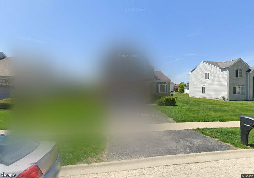
124 Sundance Rd Matteson, IL 60443
Old Matteson NeighborhoodEstimated Value: $363,542 - $418,000
4
Beds
3
Baths
2,500
Sq Ft
$153/Sq Ft
Est. Value
About This Home
This home is located at 124 Sundance Rd, Matteson, IL 60443 and is currently estimated at $382,386, approximately $152 per square foot. 124 Sundance Rd is a home located in Cook County with nearby schools including Illinois School, Arcadia Elementary School, and Indiana Elementary School.
Ownership History
Date
Name
Owned For
Owner Type
Purchase Details
Closed on
Jun 4, 2007
Sold by
Fannie Mae
Bought by
Cogar Carl C and Cogar Patrice
Current Estimated Value
Home Financials for this Owner
Home Financials are based on the most recent Mortgage that was taken out on this home.
Original Mortgage
$287,900
Outstanding Balance
$173,784
Interest Rate
6.21%
Mortgage Type
Purchase Money Mortgage
Estimated Equity
$208,602
Purchase Details
Closed on
Sep 15, 2006
Sold by
Mccoy Julius H
Bought by
Federal National Mortgage Association
Purchase Details
Closed on
Jan 3, 2002
Sold by
Centex Homes
Bought by
Mccoy Julius H and Hatch Daphne
Home Financials for this Owner
Home Financials are based on the most recent Mortgage that was taken out on this home.
Original Mortgage
$221,512
Interest Rate
6.92%
Create a Home Valuation Report for This Property
The Home Valuation Report is an in-depth analysis detailing your home's value as well as a comparison with similar homes in the area
Home Values in the Area
Average Home Value in this Area
Purchase History
| Date | Buyer | Sale Price | Title Company |
|---|---|---|---|
| Cogar Carl C | -- | Git | |
| Federal National Mortgage Association | -- | None Available | |
| Mccoy Julius H | $233,500 | -- |
Source: Public Records
Mortgage History
| Date | Status | Borrower | Loan Amount |
|---|---|---|---|
| Open | Cogar Carl C | $287,900 | |
| Previous Owner | Mccoy Julius H | $221,512 |
Source: Public Records
Tax History
| Year | Tax Paid | Tax Assessment Tax Assessment Total Assessment is a certain percentage of the fair market value that is determined by local assessors to be the total taxable value of land and additions on the property. | Land | Improvement |
|---|---|---|---|---|
| 2025 | $11,856 | $32,000 | $5,400 | $26,600 |
| 2024 | $11,856 | $32,000 | $5,400 | $26,600 |
| 2023 | $9,479 | $32,000 | $5,400 | $26,600 |
| 2022 | $9,479 | $20,893 | $4,725 | $16,168 |
| 2021 | $9,658 | $20,893 | $4,725 | $16,168 |
| 2020 | $9,061 | $20,893 | $4,725 | $16,168 |
| 2019 | $10,988 | $24,659 | $4,275 | $20,384 |
| 2018 | $10,983 | $24,659 | $4,275 | $20,384 |
| 2017 | $10,573 | $24,659 | $4,275 | $20,384 |
| 2016 | $8,698 | $20,186 | $3,825 | $16,361 |
| 2015 | $10,001 | $23,140 | $3,825 | $19,315 |
| 2014 | $9,713 | $23,140 | $3,825 | $19,315 |
| 2013 | $9,462 | $24,551 | $3,825 | $20,726 |
Source: Public Records
Map
Nearby Homes
- 154 Sundance Rd
- 136 Moonlight Rd
- 20120 Keystone Ave
- 153 Treehouse Rd
- 4500 203rd St
- 4141 204th St
- 20001 Arquilla Cir
- 620 Larkspur Ln
- 19611 Crawford Ave
- 722 Kostner Ave
- 4114 195th St Unit 76A
- 20920 Governors Hwy
- 19424 Cypress Dr Unit 1C
- 98 Lawrence Ln
- 19425 Oak Ave Unit 80
- 19435 Hickory Place Unit 29A
- 20601 Parthenon Way
- 4325 Oakwood Ln
- 744 Academy Ave
- 4110 Applewood Ln
- 130 Sundance Rd
- 118 Sundance Rd
- 127 Moonlight Rd
- 135 Moonlight Rd
- 121 Moonlight Rd
- 112 Sundance Rd
- 136 Sundance Rd
- 125 Sundance Rd
- 141 Moonlight Rd
- 119 Sundance Rd
- 131 Sundance Rd
- 115 Moonlight Rd
- 106 Sundance Rd
- 142 Sundance Rd
- 137 Sundance Rd
- 147 Moonlight Rd
- 109 Moonlight Rd
- 107 Sundance Rd
- 143 Sundance Rd
- 100 Sundance Rd
Your Personal Tour Guide
Ask me questions while you tour the home.