124 Suren Rd Conway, NH 03818
Estimated Value: $633,000 - $805,935
6
Beds
5
Baths
3,470
Sq Ft
$203/Sq Ft
Est. Value
About This Home
This home is located at 124 Suren Rd, Conway, NH 03818 and is currently estimated at $705,234, approximately $203 per square foot. 124 Suren Rd is a home with nearby schools including A. Crosby Kennett Middle School, Kennett High School, and The Lilliputian School.
Ownership History
Date
Name
Owned For
Owner Type
Purchase Details
Closed on
Sep 26, 2003
Sold by
Degennaro Patrick and Degennaro Marion
Bought by
Mccarthy Frank H and Mccarthy Terry L
Current Estimated Value
Home Financials for this Owner
Home Financials are based on the most recent Mortgage that was taken out on this home.
Original Mortgage
$220,000
Outstanding Balance
$97,403
Interest Rate
6.29%
Estimated Equity
$607,831
Create a Home Valuation Report for This Property
The Home Valuation Report is an in-depth analysis detailing your home's value as well as a comparison with similar homes in the area
Home Values in the Area
Average Home Value in this Area
Purchase History
| Date | Buyer | Sale Price | Title Company |
|---|---|---|---|
| Mccarthy Frank H | $275,000 | -- |
Source: Public Records
Mortgage History
| Date | Status | Borrower | Loan Amount |
|---|---|---|---|
| Open | Mccarthy Frank H | $220,000 |
Source: Public Records
Tax History
| Year | Tax Paid | Tax Assessment Tax Assessment Total Assessment is a certain percentage of the fair market value that is determined by local assessors to be the total taxable value of land and additions on the property. | Land | Improvement |
|---|---|---|---|---|
| 2025 | $9,549 | $827,500 | $80,500 | $747,000 |
| 2024 | $10,013 | $827,500 | $80,500 | $747,000 |
| 2023 | $9,028 | $827,500 | $80,500 | $747,000 |
| 2022 | $7,627 | $422,300 | $60,400 | $361,900 |
| 2021 | $6,900 | $422,300 | $60,400 | $361,900 |
| 2020 | $7,323 | $422,300 | $60,400 | $361,900 |
| 2019 | $6,824 | $394,000 | $60,400 | $333,600 |
| 2018 | $6,916 | $331,400 | $52,400 | $279,000 |
| 2017 | $6,621 | $331,400 | $52,400 | $279,000 |
| 2016 | $6,307 | $326,600 | $52,400 | $274,200 |
| 2015 | $6,235 | $326,600 | $52,400 | $274,200 |
| 2014 | $6,160 | $326,600 | $52,400 | $274,200 |
| 2013 | $5,987 | $335,200 | $52,400 | $282,800 |
Source: Public Records
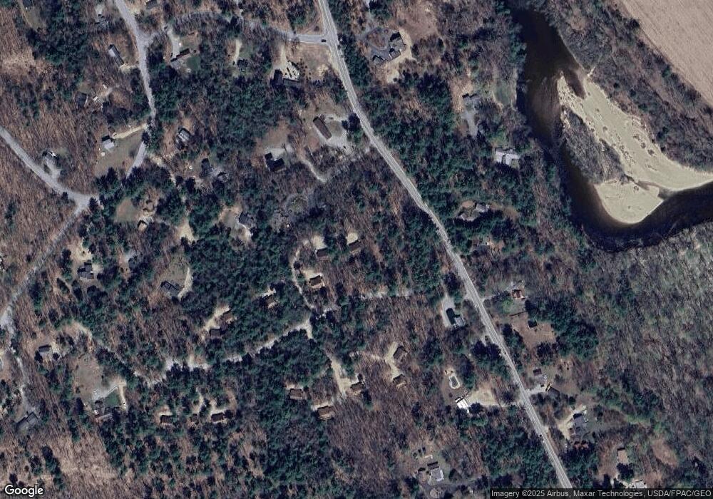
Map
Nearby Homes
- 262 Beechnut Dr
- 198 Echo Acres Rd
- 315 Allard Farm Circuit
- 67 Linden Rd
- 00 White Mountain Hwy Unit 38
- 8 Champney Rd
- 85 Amethyst Hill Rd
- 64 Okeefes Cir
- 48 O'Keefe's Cir
- 77 Northbrook Cir Unit 39
- 102 Depot Rd
- 7 Fairway Dr
- 131 Grove St
- 42 Wylie Ct Unit 9
- 42 Wylie Ct Unit 6
- 42 Wylie Ct Unit 1
- 2760 New Hampshire 16 Unit E008A Week 29
- 2906 White Mountain Hwy
- 3002 White Mountain Hwy Unit Lots 29 and 30 - 300
- 2955 White Mountain Hwy Unit 125 E22
- 110 Suren Rd Unit 18
- 110 Suren Rd Unit 17
- 110 Suren Rd Unit 19
- 122 Suren Rd
- 3 Deerbrook Unit 3
- 111 Suren Rd Unit 10
- 34 Woodcrest Dr Unit 25
- 2142 W Side Rd
- 5 Abbey Ln
- 18 W Abbey Ln Unit 5
- 18 W Abbey Ln Unit 4
- 18 Woodcrest Dr Unit 23
- 29 Granite Post Rd
- 2148 W Side Rd
- 2162 W Side Rd
- 2074 W Side Rd
- 2105 W Side Rd
- 2071 W Side Rd
- 17 Granite Post Rd
- 11 Birch Hill Rd
Your Personal Tour Guide
Ask me questions while you tour the home.