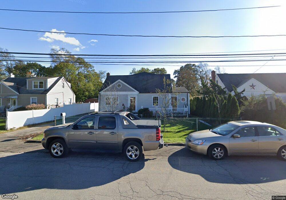
124 W 10th St Huntington Station, NY 11746
Estimated Value: $554,000 - $657,000
--
Bed
--
Bath
--
Sq Ft
0.33
Acres
About This Home
This home is located at 124 W 10th St, Huntington Station, NY 11746 and is currently estimated at $599,818. 124 W 10th St is a home located in Suffolk County with nearby schools including Jefferson Primary School, Woodhull Intermediate School, and J Taylor Finley Middle School.
Ownership History
Date
Name
Owned For
Owner Type
Purchase Details
Closed on
Sep 22, 2006
Current Estimated Value
Purchase Details
Closed on
Mar 24, 2000
Sold by
Bonilla Luis A
Bought by
Bonilla Oscar and Perla Ana
Home Financials for this Owner
Home Financials are based on the most recent Mortgage that was taken out on this home.
Original Mortgage
$8,750
Interest Rate
8.3%
Mortgage Type
Seller Take Back
Purchase Details
Closed on
Apr 9, 1997
Sold by
Krekel James M
Bought by
Bonilla Luis A
Purchase Details
Closed on
Jan 27, 1997
Sold by
Bonilla Luis A and Bonilla Julia A
Bought by
Bonilla Luis A
Create a Home Valuation Report for This Property
The Home Valuation Report is an in-depth analysis detailing your home's value as well as a comparison with similar homes in the area
Home Values in the Area
Average Home Value in this Area
Purchase History
| Date | Buyer | Sale Price | Title Company |
|---|---|---|---|
| -- | -- | -- | |
| Bonilla Oscar | $175,000 | -- | |
| Bonilla Luis A | $24,000 | First American Title Ins Co | |
| Bonilla Luis A | -- | Advantage Title Agency Inc |
Source: Public Records
Mortgage History
| Date | Status | Borrower | Loan Amount |
|---|---|---|---|
| Previous Owner | Bonilla Oscar | $8,750 | |
| Previous Owner | Bonilla Oscar | $148,750 |
Source: Public Records
Tax History Compared to Growth
Tax History
| Year | Tax Paid | Tax Assessment Tax Assessment Total Assessment is a certain percentage of the fair market value that is determined by local assessors to be the total taxable value of land and additions on the property. | Land | Improvement |
|---|---|---|---|---|
| 2024 | $9,812 | $2,550 | $200 | $2,350 |
| 2023 | $4,906 | $2,550 | $200 | $2,350 |
| 2022 | $9,753 | $2,550 | $200 | $2,350 |
| 2021 | $9,663 | $2,550 | $200 | $2,350 |
| 2020 | $9,556 | $2,550 | $200 | $2,350 |
| 2019 | $19,112 | $0 | $0 | $0 |
| 2018 | $9,084 | $2,550 | $200 | $2,350 |
| 2017 | $9,084 | $2,550 | $200 | $2,350 |
| 2016 | $8,970 | $2,550 | $200 | $2,350 |
| 2015 | -- | $2,550 | $200 | $2,350 |
| 2014 | -- | $2,550 | $200 | $2,350 |
Source: Public Records
Map
Nearby Homes
- 137 Columbia St
- 19 W 11th St
- 30 3rd Ave
- 55 9th Ave
- 12 Terrace Dr
- 92 Columbia St
- 269 W Pulaski Rd
- 90 11th Ave
- 26 E 12th St
- 128 Winding St
- 15 W 16th St
- 43 Columbia St
- 24 Columbia St
- 57 E Pulaski Rd
- 14 W 16th St
- 49 Tower St
- 0 Tower St
- 280 Lowndes Ave Unit 111G
- 280 Lowndes Ave Unit 305G
- 280 Lowndes Ave Unit 208