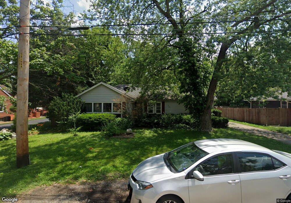
124 W 4th Ave New Lenox, IL 60451
Estimated Value: $300,247 - $348,000
3
Beds
1
Bath
1,600
Sq Ft
$203/Sq Ft
Est. Value
About This Home
This home is located at 124 W 4th Ave, New Lenox, IL 60451 and is currently estimated at $325,562, approximately $203 per square foot. 124 W 4th Ave is a home located in Will County with nearby schools including Bentley Elementary School, Arnold J Tyler School, and Alex M Martino Jr High School.
Ownership History
Date
Name
Owned For
Owner Type
Purchase Details
Closed on
Aug 25, 2008
Sold by
Sanders Garrett J and Sanders Nicole D
Bought by
First Bank Of Manhattan and Trust #543
Current Estimated Value
Home Financials for this Owner
Home Financials are based on the most recent Mortgage that was taken out on this home.
Original Mortgage
$16,500
Interest Rate
6.11%
Mortgage Type
Credit Line Revolving
Purchase Details
Closed on
May 8, 2003
Sold by
Chicago Title Land Trust Co
Bought by
Sanders Garrett J and Sanders Nicole D
Home Financials for this Owner
Home Financials are based on the most recent Mortgage that was taken out on this home.
Original Mortgage
$177,219
Interest Rate
5.95%
Mortgage Type
FHA
Create a Home Valuation Report for This Property
The Home Valuation Report is an in-depth analysis detailing your home's value as well as a comparison with similar homes in the area
Home Values in the Area
Average Home Value in this Area
Purchase History
| Date | Buyer | Sale Price | Title Company |
|---|---|---|---|
| First Bank Of Manhattan | -- | Accommodation | |
| Sanders Garrett J | $180,000 | Chicago Title Insurance Co |
Source: Public Records
Mortgage History
| Date | Status | Borrower | Loan Amount |
|---|---|---|---|
| Previous Owner | First Bank Of Manhattan | $16,500 | |
| Previous Owner | Sanders Garrett J | $177,219 |
Source: Public Records
Tax History Compared to Growth
Tax History
| Year | Tax Paid | Tax Assessment Tax Assessment Total Assessment is a certain percentage of the fair market value that is determined by local assessors to be the total taxable value of land and additions on the property. | Land | Improvement |
|---|---|---|---|---|
| 2024 | $7,494 | $92,343 | $25,300 | $67,043 |
| 2023 | $7,494 | $84,178 | $23,063 | $61,115 |
| 2022 | $6,710 | $77,547 | $21,246 | $56,301 |
| 2021 | $6,392 | $72,930 | $19,981 | $52,949 |
| 2020 | $6,223 | $70,328 | $19,268 | $51,060 |
| 2019 | $5,968 | $68,148 | $18,671 | $49,477 |
| 2018 | $5,843 | $65,798 | $18,027 | $47,771 |
| 2017 | $5,562 | $63,907 | $17,509 | $46,398 |
| 2016 | $5,409 | $62,196 | $17,040 | $45,156 |
| 2015 | -- | $60,239 | $16,504 | $43,735 |
| 2014 | -- | $59,495 | $16,300 | $43,195 |
| 2013 | -- | $60,297 | $16,520 | $43,777 |
Source: Public Records
Map
Nearby Homes
- 00 NE Corner Cherry Hill Road and Moss Lane Rd
- 105 Roy St
- 319 S Pine St
- 718 S Prairie Rd
- 15707 Valley View St
- 416 Manor Ct Unit B
- 574 Prairie Crossing Dr
- 328 E Lincoln Hwy
- 235 Roberts Rd
- 808 Stonegate Rd
- 524 Waverly Ct Unit D
- 218 Manor Dr Unit A
- 203 Tonell Ave
- 329 Hancock Dr
- 709 Young Dr
- 1046 Schoolgate Rd Unit 3
- 331 Old Hickory Rd
- 920 Barnside Rd
- 224 Hauser Ct
- 449 Somerset Ln Unit 1