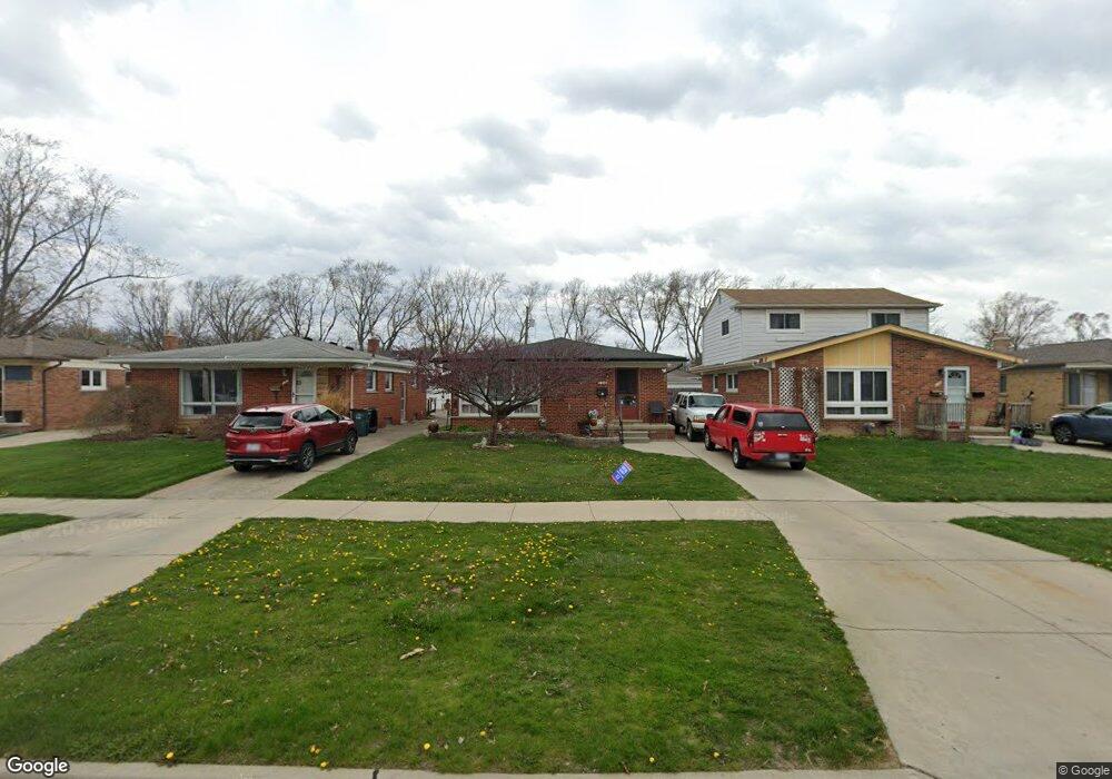
124 W Elmwood Ave Clawson, MI 48017
Estimated Value: $283,000 - $342,000
3
Beds
1
Bath
1,066
Sq Ft
$284/Sq Ft
Est. Value
About This Home
This home is located at 124 W Elmwood Ave, Clawson, MI 48017 and is currently estimated at $303,249, approximately $284 per square foot. 124 W Elmwood Ave is a home located in Oakland County with nearby schools including Clawson High School, Guardian Angels School, and Japhet School.
Ownership History
Date
Name
Owned For
Owner Type
Purchase Details
Closed on
Apr 18, 2017
Sold by
Mcphail Rhonda and The Bettie Rowana Cowan Revoca
Bought by
Mansueto John C and Mansueto Cindy
Current Estimated Value
Purchase Details
Closed on
Apr 18, 2011
Sold by
Mcphail Rhonda and Bettie Rowana Cowan Revocable
Bought by
Mansueto John C and Mansueto Cindy
Create a Home Valuation Report for This Property
The Home Valuation Report is an in-depth analysis detailing your home's value as well as a comparison with similar homes in the area
Home Values in the Area
Average Home Value in this Area
Purchase History
| Date | Buyer | Sale Price | Title Company |
|---|---|---|---|
| Mansueto John C | $100,000 | None Available | |
| Mansueto John C | -- | None Available |
Source: Public Records
Tax History Compared to Growth
Tax History
| Year | Tax Paid | Tax Assessment Tax Assessment Total Assessment is a certain percentage of the fair market value that is determined by local assessors to be the total taxable value of land and additions on the property. | Land | Improvement |
|---|---|---|---|---|
| 2024 | $2,896 | $120,870 | $0 | $0 |
| 2023 | $2,776 | $109,410 | $0 | $0 |
| 2022 | $2,799 | $101,410 | $0 | $0 |
| 2021 | $2,741 | $94,950 | $0 | $0 |
| 2020 | $2,656 | $88,160 | $0 | $0 |
| 2019 | $2,744 | $83,850 | $0 | $0 |
| 2018 | $2,725 | $79,300 | $0 | $0 |
| 2017 | $2,708 | $76,610 | $0 | $0 |
| 2016 | $2,746 | $71,910 | $0 | $0 |
| 2015 | -- | $65,740 | $0 | $0 |
| 2014 | -- | $57,130 | $0 | $0 |
| 2011 | -- | $52,660 | $0 | $0 |
Source: Public Records
Map
Nearby Homes
- 1247 N Main St
- 70 Knollwood Blvd
- 351 W Baker Ave
- 276 School Ave
- 151 Fisher Ct
- 1405 Oakley Rd
- 908 W Elmwood Ave
- 920 W Elmwood Ave
- 1092 Shenandoah Dr
- 793 W Maple Rd
- 206 Kinross Ave
- 678 Shenandoah Dr
- 28 Nahma Ave
- 531 N Manitou Ave
- 308 W Tacoma St
- 71 Biltmore Dr
- 104 Charlevoix St
- 31 Walper Ave
- 851 N Webik Ave
- 1844 Beech Lane Dr
- 132 W Elmwood Ave
- 116 W Elmwood Ave
- 108 W Elmwood Ave
- 140 W Elmwood Ave
- 100 W Elmwood Ave
- 148 W Elmwood Ave
- 117 Elmsford Dr
- 125 Elmsford Dr
- 109 Elmsford Dr
- 92 W Elmwood Ave
- 133 Elmsford Dr
- 154 W Elmwood Ave
- 113 W Elmwood Ave
- 141 Elmsford Dr
- 101 Elmsford Dr
- 93 Elmsford Dr
- 84 W Elmwood Ave
- 149 Elmsford Dr
- 157 Elmsford Dr
- 121 W Elmwood Ave