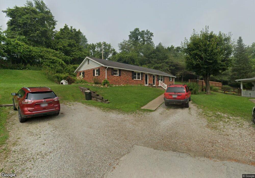
124 Westview Dr Unit A Barnesville, OH 43713
Estimated Value: $164,000 - $221,000
4
Beds
2
Baths
1,740
Sq Ft
$104/Sq Ft
Est. Value
About This Home
This home is located at 124 Westview Dr Unit A, Barnesville, OH 43713 and is currently estimated at $180,250, approximately $103 per square foot. 124 Westview Dr Unit A is a home located in Belmont County with nearby schools including Barnesville Elementary School, Barnesville Middle School, and Barnesville High School.
Ownership History
Date
Name
Owned For
Owner Type
Purchase Details
Closed on
Jan 5, 2021
Bought by
Tecumseh Real Estate Llc
Current Estimated Value
Purchase Details
Closed on
Dec 3, 2002
Sold by
Mott John A and Sur Jo Ann
Bought by
Mott John A and Jo Ann Sur
Purchase Details
Closed on
May 27, 1993
Bought by
Broomhall Keith A Etal 1
Purchase Details
Closed on
Jan 1, 1986
Sold by
Broomhall William and Broomhall Mart
Bought by
Broomhall William and Broomhall Mart
Create a Home Valuation Report for This Property
The Home Valuation Report is an in-depth analysis detailing your home's value as well as a comparison with similar homes in the area
Home Values in the Area
Average Home Value in this Area
Purchase History
| Date | Buyer | Sale Price | Title Company |
|---|---|---|---|
| Tecumseh Real Estate Llc | -- | -- | |
| Mott John A | $82,000 | -- | |
| Broomhall Keith A Etal 1 | $39,500 | -- | |
| Broomhall William | -- | -- |
Source: Public Records
Tax History Compared to Growth
Tax History
| Year | Tax Paid | Tax Assessment Tax Assessment Total Assessment is a certain percentage of the fair market value that is determined by local assessors to be the total taxable value of land and additions on the property. | Land | Improvement |
|---|---|---|---|---|
| 2024 | $1,800 | $54,330 | $6,160 | $48,170 |
| 2023 | $1,669 | $48,320 | $4,430 | $43,890 |
| 2022 | $1,668 | $48,328 | $4,434 | $43,894 |
| 2021 | $1,672 | $48,328 | $4,434 | $43,894 |
| 2020 | $1,457 | $40,280 | $3,700 | $36,580 |
| 2019 | $1,460 | $40,280 | $3,700 | $36,580 |
| 2018 | $1,456 | $40,280 | $3,700 | $36,580 |
| 2017 | $1,265 | $34,290 | $3,990 | $30,300 |
| 2016 | $1,186 | $34,290 | $3,990 | $30,300 |
| 2015 | $1,182 | $34,290 | $3,990 | $30,300 |
| 2014 | $1,053 | $30,210 | $3,630 | $26,580 |
| 2013 | $1,065 | $30,350 | $3,630 | $26,720 |
Source: Public Records
Map
Nearby Homes
- TBD W Main St
- 311 Washington St
- 502 W Main St
- 423 W Main St
- 61900 Fairview Rd
- 618 Park St
- 612 N Broadway St
- 136 E Walnut St
- 143 Cherry St
- 406 S Chestnut St
- 145 Kennard Ave
- 329 S Chestnut St
- 323 S Lincoln Ave
- 215 Railroad St
- 62239 Hillcrest Rd
- 501 E Main St
- 613 E Main St
- 105 Bethesda St
- 166 Bethesda St
- 185 Bethesda St