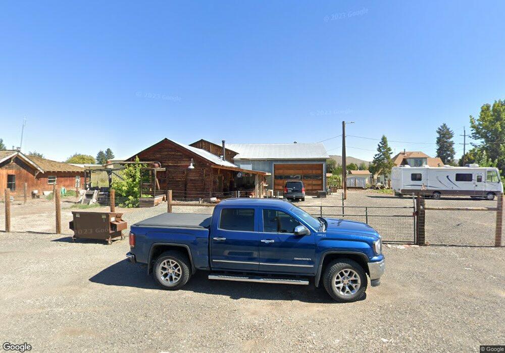
1240 7th St Baker City, OR 97814
Estimated Value: $257,082
--
Bed
--
Bath
2,228
Sq Ft
$115/Sq Ft
Est. Value
About This Home
This home is located at 1240 7th St, Baker City, OR 97814 and is currently estimated at $257,082, approximately $115 per square foot. 1240 7th St is a home located in Baker County with nearby schools including Brooklyn Primary School, Baker Middle School, and Baker High School.
Ownership History
Date
Name
Owned For
Owner Type
Purchase Details
Closed on
Mar 1, 2024
Sold by
Great Northwestern Llc
Bought by
Fry Brandon D
Current Estimated Value
Home Financials for this Owner
Home Financials are based on the most recent Mortgage that was taken out on this home.
Original Mortgage
$122,500
Outstanding Balance
$86,141
Interest Rate
0.61%
Mortgage Type
Construction
Estimated Equity
$170,941
Purchase Details
Closed on
Mar 28, 2017
Sold by
Fuzi Laura A Etal
Bought by
Great Northwestern Llc
Create a Home Valuation Report for This Property
The Home Valuation Report is an in-depth analysis detailing your home's value as well as a comparison with similar homes in the area
Home Values in the Area
Average Home Value in this Area
Purchase History
| Date | Buyer | Sale Price | Title Company |
|---|---|---|---|
| Fry Brandon D | $245,000 | Amerititle | |
| Great Northwestern Llc | $74,000 | -- |
Source: Public Records
Mortgage History
| Date | Status | Borrower | Loan Amount |
|---|---|---|---|
| Open | Fry Brandon D | $122,500 |
Source: Public Records
Tax History Compared to Growth
Tax History
| Year | Tax Paid | Tax Assessment Tax Assessment Total Assessment is a certain percentage of the fair market value that is determined by local assessors to be the total taxable value of land and additions on the property. | Land | Improvement |
|---|---|---|---|---|
| 2024 | $465 | $26,255 | $14,464 | $11,791 |
| 2023 | $456 | $25,491 | $14,534 | $10,957 |
| 2022 | $444 | $24,749 | $14,984 | $9,765 |
| 2021 | $430 | $24,029 | $14,548 | $9,481 |
| 2020 | $403 | $23,330 | $18,292 | $5,038 |
| 2019 | $391 | $22,651 | $17,786 | $4,865 |
| 2018 | $380 | $21,992 | $17,376 | $4,616 |
| 2017 | $369 | $21,352 | $16,857 | $4,495 |
| 2016 | $359 | $20,731 | $16,332 | $4,399 |
| 2015 | $348 | $20,128 | $15,799 | $4,329 |
| 2014 | $338 | $19,542 | $14,771 | $4,771 |
| 2013 | -- | $18,973 | $14,341 | $4,632 |
Source: Public Records
Map
Nearby Homes
- 1235 4th St
- 2765 Myrtle St
- 3345 Carter St
- 0 Hillcrest Dr Unit 23477116
- 1025 Hillcrest Dr
- 2505 Indiana Ave
- 2335 Indiana Ave
- 2438 Auburn Ave
- 0 Fs 77 Rd
- 2295 Ohio Ave
- 0 Columbia Ave Unit 191349984
- 1920 Cliff St
- 1610 Dewey Ave
- 3325 Grace St
- 1905 2nd St
- 915 Petry Ln
- 1020 Walnut St
- 3440 Eaglecrest Way
- 1050 Elm St
- 2331 Church St