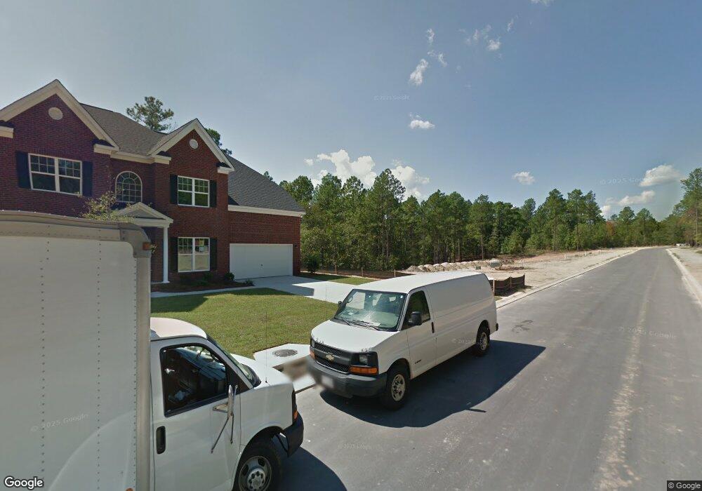
1240 Ashland Dr Columbia, SC 29229
Lake Carolina NeighborhoodEstimated Value: $422,000 - $498,000
5
Beds
4
Baths
3,532
Sq Ft
$129/Sq Ft
Est. Value
About This Home
This home is located at 1240 Ashland Dr, Columbia, SC 29229 and is currently estimated at $454,696, approximately $128 per square foot. 1240 Ashland Dr is a home located in Richland County with nearby schools including Lake Carolina Elementary Lower Campus, Lake Carolina Elementary Upper Campus, and Blythewood Middle School.
Ownership History
Date
Name
Owned For
Owner Type
Purchase Details
Closed on
Jul 1, 2014
Sold by
Essex Homes Southeast Inc
Bought by
Oliver Brian D and Frisby Amanda
Current Estimated Value
Home Financials for this Owner
Home Financials are based on the most recent Mortgage that was taken out on this home.
Original Mortgage
$228,480
Outstanding Balance
$174,229
Interest Rate
4.19%
Mortgage Type
New Conventional
Estimated Equity
$280,467
Purchase Details
Closed on
Jul 11, 2013
Sold by
Lake Carolina Development Inc
Bought by
Essex Homes Southeast Inc
Create a Home Valuation Report for This Property
The Home Valuation Report is an in-depth analysis detailing your home's value as well as a comparison with similar homes in the area
Home Values in the Area
Average Home Value in this Area
Purchase History
| Date | Buyer | Sale Price | Title Company |
|---|---|---|---|
| Oliver Brian D | $285,600 | None Available | |
| Essex Homes Southeast Inc | $80,340 | None Available |
Source: Public Records
Mortgage History
| Date | Status | Borrower | Loan Amount |
|---|---|---|---|
| Open | Oliver Brian D | $228,480 |
Source: Public Records
Tax History Compared to Growth
Tax History
| Year | Tax Paid | Tax Assessment Tax Assessment Total Assessment is a certain percentage of the fair market value that is determined by local assessors to be the total taxable value of land and additions on the property. | Land | Improvement |
|---|---|---|---|---|
| 2024 | $2,942 | $321,700 | $0 | $0 |
| 2023 | $2,942 | $11,188 | $0 | $0 |
| 2022 | $2,638 | $279,700 | $45,000 | $234,700 |
| 2021 | $2,666 | $11,190 | $0 | $0 |
| 2020 | $2,708 | $11,190 | $0 | $0 |
| 2019 | $2,698 | $11,190 | $0 | $0 |
| 2018 | $2,782 | $11,420 | $0 | $0 |
| 2017 | $2,724 | $11,420 | $0 | $0 |
| 2016 | $2,714 | $11,420 | $0 | $0 |
| 2015 | $9,378 | $17,140 | $0 | $0 |
| 2014 | $1,432 | $37,500 | $0 | $0 |
| 2013 | -- | $16,070 | $0 | $0 |
Source: Public Records
Map
Nearby Homes
- 201 Brooksdale Dr
- 312 Baybridge Dr
- 1128 Ashland Dr
- 725 Pennywell Ct
- 2 Back Bay Ct
- 2216 Lofton Rd
- 2204 Lofton Rd
- 2196 Lofton Rd
- Ashford Plan at The Falls
- Lawson Plan at The Falls
- Henderson Plan at The Falls
- 2192 Lofton Rd
- 247 Sunny Hill Dr
- 253 Sunny Hill Dr
- 2188 Lofton Rd
- 404 Cartgate Cir
- 2186 Lofton Rd
- 2182 Lofton Rd
- 2181 Lofton Rd
- 255 Sunny Hill Dr
- 1244 Ashland Dr
- 1236 Ashland Dr
- 1248 Ashland Dr
- 1232 Ashland Dr
- 1203 Ashland Dr
- 1241 Ashland Dr
- 1237 Ashland Dr
- 1245 Ashland Dr
- 1228 Ashland Dr
- 1252 Ashland Dr
- 1233 Ashland Dr
- 1183 Ashland Dr
- 1251 Ashland Dr
- 1229 Ashland Dr
- 1224 Ashland Dr
- 1256 Ashland Dr
- 356 Baybridge Dr
- 1255 Ashland Dr
- 360 Baybridge Dr
- 364 Baybridge Dr