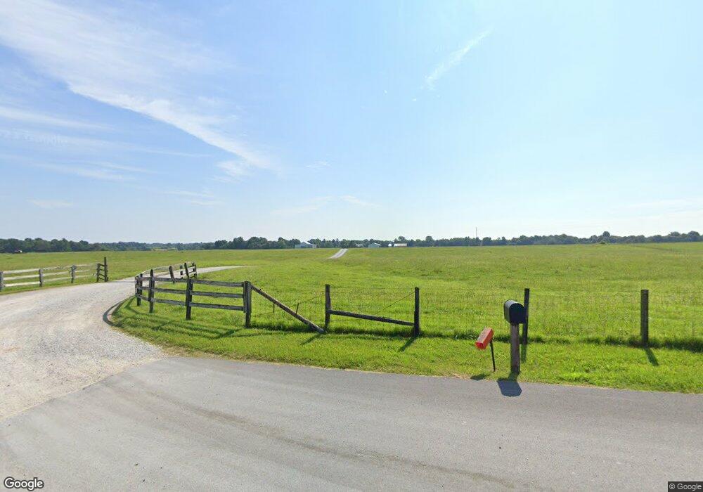
1240 C Stokes Rd Elkton, KY 42220
Estimated Value: $255,000 - $579,043
3
Beds
2
Baths
1,680
Sq Ft
$248/Sq Ft
Est. Value
About This Home
This home is located at 1240 C Stokes Rd, Elkton, KY 42220 and is currently estimated at $417,022, approximately $248 per square foot. 1240 C Stokes Rd is a home located in Todd County with nearby schools including Todd County Middle School and Todd County Central High School.
Ownership History
Date
Name
Owned For
Owner Type
Purchase Details
Closed on
Mar 1, 2024
Sold by
Blake Morris R and Blake Barbara A
Bought by
Blake Payton C
Current Estimated Value
Purchase Details
Closed on
Nov 16, 2023
Sold by
Morris R Blake And/Or Barbara A Blake Re and Blake Morris R
Bought by
Blake Morris R and Blake Barbara A
Purchase Details
Closed on
Sep 27, 2023
Sold by
Morris R Blake R and Morris Barbara A
Bought by
Blake Timothy and Blake Kayla
Purchase Details
Closed on
Feb 1, 2005
Bought by
Blake Morris R and Revocabl Barbara A
Create a Home Valuation Report for This Property
The Home Valuation Report is an in-depth analysis detailing your home's value as well as a comparison with similar homes in the area
Home Values in the Area
Average Home Value in this Area
Purchase History
| Date | Buyer | Sale Price | Title Company |
|---|---|---|---|
| Blake Payton C | $554,000 | None Listed On Document | |
| Austin Blake Hunter | $459,000 | None Listed On Document | |
| Blake Morris R | -- | None Listed On Document | |
| Blake Morris R | -- | None Listed On Document | |
| Blake Timothy | $194,060 | None Listed On Document | |
| Or Scot M | -- | None Listed On Document | |
| Blake Timothy | $800,000 | None Listed On Document | |
| Blake Morris R | $60,000 | -- |
Source: Public Records
Tax History Compared to Growth
Tax History
| Year | Tax Paid | Tax Assessment Tax Assessment Total Assessment is a certain percentage of the fair market value that is determined by local assessors to be the total taxable value of land and additions on the property. | Land | Improvement |
|---|---|---|---|---|
| 2024 | $660 | $125,520 | $0 | $0 |
| 2023 | $664 | $125,520 | $0 | $0 |
| 2022 | $703 | $125,520 | $0 | $0 |
| 2021 | $704 | $125,520 | $0 | $0 |
| 2020 | $715 | $125,520 | $0 | $0 |
| 2019 | $709 | $125,520 | $0 | $0 |
| 2018 | $698 | $125,520 | $0 | $0 |
| 2017 | $698 | $125,520 | $0 | $0 |
| 2016 | $690 | $125,520 | $66,720 | $58,800 |
| 2015 | -- | $125,520 | $0 | $58,800 |
| 2013 | -- | $429,120 | $0 | $0 |
Source: Public Records
Map
Nearby Homes
- 0 New Hwy 68 W Unit 40455
- 315 Billy T Dr
- 51 Phillips Rd
- 1630 E Jeff Davis Hwy
- 710 W Shelby Ave
- 707 W Shelby Ave
- 0 Main St N
- 0 Joiner Ave
- 6 Joiner Ave
- 7 Joiner Ave
- 10 Joiner Ave
- 9 Joiner Ave
- 8 Joiner Ave
- 91 Phillips Rd
- 4750 Greenville Rd
- 1630 E Jefferson Davis Hwy
- 789 E Jefferson Davis Hwy
- 0 E Jefferson Davis Hwy
- 308 Billy T Crouch
- 140 Antioch Church Rd
- 1089 C Stokes Rd
- 1135 C Stokes Rd
- 990 C Stokes Rd
- 995 C Stokes Rd
- 956 C Stokes Rd
- 956 C Stooks Rd
- 955 C Stokes Rd
- 1642 Hadden Mill Rd
- 705 Templeman Rd
- 404 Starns Rd
- 780 C Stokes Rd
- 638 Starns Rd
- 1604 Hadden Mill Rd
- 1728 Hadden Mill Rd
- 108 Industrial Dr
- 110 Industrial Dr
- 104 Industrial Dr
- 112 Industrial Dr
- 1820 Hadden Mill Rd
- 1680 Hadden Mill Rd
