1240 Heritage Ln Marion, OH 43302
Estimated Value: $165,878 - $243,000
3
Beds
1
Bath
1,032
Sq Ft
$196/Sq Ft
Est. Value
About This Home
This home is located at 1240 Heritage Ln, Marion, OH 43302 and is currently estimated at $202,720, approximately $196 per square foot. 1240 Heritage Ln is a home located in Marion County with nearby schools including William McKinley Elementary School, Ulysses S. Grant Middle School, and Harding High School.
Ownership History
Date
Name
Owned For
Owner Type
Purchase Details
Closed on
Jul 6, 2007
Sold by
Thrapp Jeremy D and Thrapp Sindy M
Bought by
Bean Andrew and Bean Sunshine
Current Estimated Value
Home Financials for this Owner
Home Financials are based on the most recent Mortgage that was taken out on this home.
Original Mortgage
$92,300
Outstanding Balance
$55,926
Interest Rate
6.37%
Mortgage Type
New Conventional
Estimated Equity
$146,794
Purchase Details
Closed on
Sep 28, 2004
Bought by
Bean Andrew & Sunshine Surv
Create a Home Valuation Report for This Property
The Home Valuation Report is an in-depth analysis detailing your home's value as well as a comparison with similar homes in the area
Home Values in the Area
Average Home Value in this Area
Purchase History
| Date | Buyer | Sale Price | Title Company |
|---|---|---|---|
| Bean Andrew | $92,300 | Marion Title | |
| Bean Andrew & Sunshine Surv | $20,000 | -- |
Source: Public Records
Mortgage History
| Date | Status | Borrower | Loan Amount |
|---|---|---|---|
| Open | Bean Andrew | $92,300 |
Source: Public Records
Tax History
| Year | Tax Paid | Tax Assessment Tax Assessment Total Assessment is a certain percentage of the fair market value that is determined by local assessors to be the total taxable value of land and additions on the property. | Land | Improvement |
|---|---|---|---|---|
| 2025 | $1,554 | $47,170 | $9,650 | $37,520 |
| 2024 | $1,554 | $40,500 | $9,160 | $31,340 |
| 2023 | $1,554 | $40,500 | $9,160 | $31,340 |
| 2022 | $1,442 | $40,500 | $9,160 | $31,340 |
| 2021 | $1,331 | $33,660 | $7,970 | $25,690 |
| 2020 | $1,335 | $33,660 | $7,970 | $25,690 |
| 2019 | $1,298 | $33,660 | $7,970 | $25,690 |
| 2018 | $1,162 | $30,160 | $8,030 | $22,130 |
| 2017 | $1,177 | $30,160 | $8,030 | $22,130 |
| 2016 | $1,171 | $30,160 | $8,030 | $22,130 |
| 2015 | $1,165 | $29,360 | $7,650 | $21,710 |
| 2014 | $1,166 | $29,360 | $7,650 | $21,710 |
| 2012 | $1,150 | $28,760 | $9,160 | $19,600 |
Source: Public Records
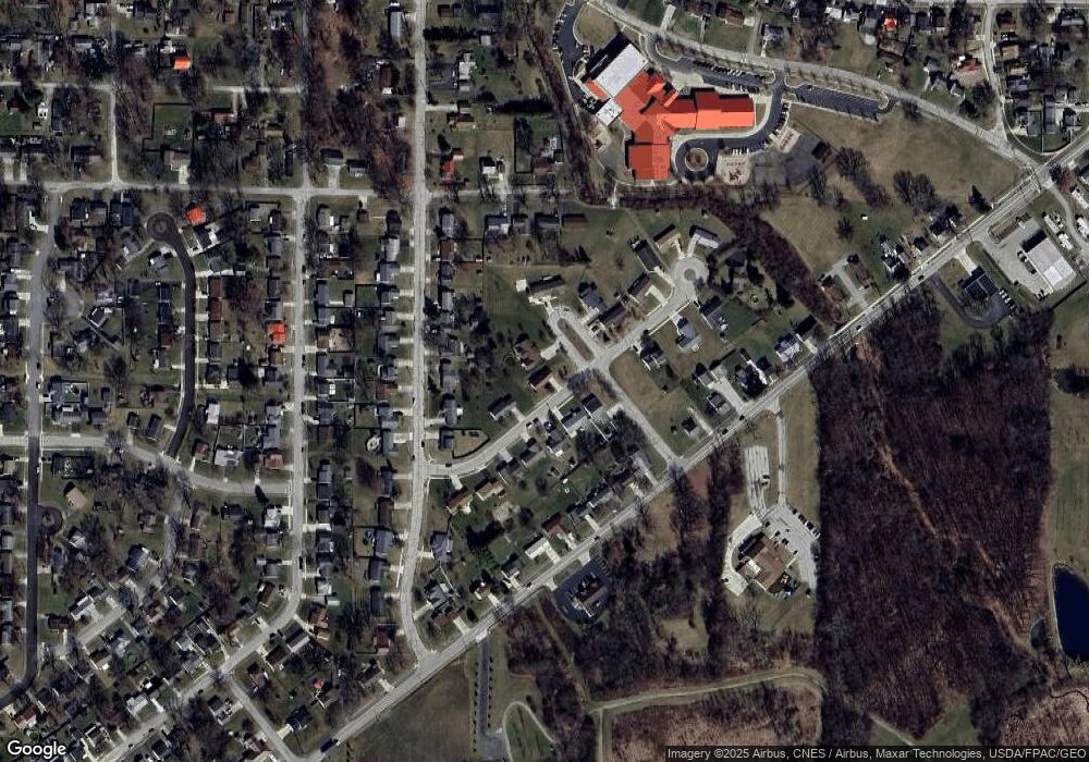
Map
Nearby Homes
- 1025 Stonewall Ct
- 1260 Heritage Ln
- 1241 Heritage Ln
- 1231 Heritage Ln
- 1251 Heritage Ln
- 1261 Heritage Ln
- 1022 S Underwood
- 1022 Underwood South Dr
- 1022 Underwood Dr S
- 1030 Underwood South Dr
- 1046 Underwood South Dr
- 1204 Heritage Ln
- 1008 Stonewall Ct
- 1016 Stonewall Ct
- 1014 Underwood South Dr
- 1271 Heritage Ln
- 1056 Underwood South Dr
- 1056 Underwood Dr S
- 1205 Heritage Ln
- 1212 Bellefontaine Ave
Your Personal Tour Guide
Ask me questions while you tour the home.