1240 Kimball Rd China Grove, NC 28023
Estimated Value: $258,886 - $330,000
--
Bed
1
Bath
1,371
Sq Ft
$215/Sq Ft
Est. Value
About This Home
This home is located at 1240 Kimball Rd, China Grove, NC 28023 and is currently estimated at $294,222, approximately $214 per square foot. 1240 Kimball Rd is a home located in Rowan County with nearby schools including Landis Elementary School, China Grove Middle School, and South Rowan High School.
Ownership History
Date
Name
Owned For
Owner Type
Purchase Details
Closed on
Jan 4, 2012
Sold by
Lowder Carol H and Lowder Jerry M
Bought by
Lowder Carol H and Hill Patricia A
Current Estimated Value
Purchase Details
Closed on
Sep 2, 2011
Sold by
Lowder Carol H and Lowder Jerry M
Bought by
Lowder Carol H and Hill Patricia A
Purchase Details
Closed on
Apr 24, 2006
Sold by
Hill Harry C
Bought by
Lowder Jerry Michael and Lowder Carol Hill
Create a Home Valuation Report for This Property
The Home Valuation Report is an in-depth analysis detailing your home's value as well as a comparison with similar homes in the area
Home Values in the Area
Average Home Value in this Area
Purchase History
| Date | Buyer | Sale Price | Title Company |
|---|---|---|---|
| Lowder Carol H | -- | None Available | |
| Lowder Carol H | -- | None Available | |
| Hill Harry C | -- | None Available | |
| Lowder Jerry Michael | $10,000 | None Available |
Source: Public Records
Tax History Compared to Growth
Tax History
| Year | Tax Paid | Tax Assessment Tax Assessment Total Assessment is a certain percentage of the fair market value that is determined by local assessors to be the total taxable value of land and additions on the property. | Land | Improvement |
|---|---|---|---|---|
| 2025 | $1,275 | $204,856 | $82,174 | $122,682 |
| 2024 | $1,275 | $204,856 | $82,174 | $122,682 |
| 2023 | $1,275 | $204,856 | $82,174 | $122,682 |
| 2022 | $944 | $134,829 | $66,689 | $68,140 |
| 2021 | $944 | $134,829 | $66,689 | $68,140 |
| 2020 | $944 | $134,829 | $66,689 | $68,140 |
| 2019 | $944 | $134,829 | $66,689 | $68,140 |
| 2018 | $842 | $121,284 | $66,688 | $54,596 |
| 2017 | $842 | $121,284 | $66,688 | $54,596 |
| 2016 | $842 | $121,284 | $66,688 | $54,596 |
| 2015 | $855 | $121,284 | $66,688 | $54,596 |
| 2014 | $858 | $124,048 | $66,688 | $57,360 |
Source: Public Records
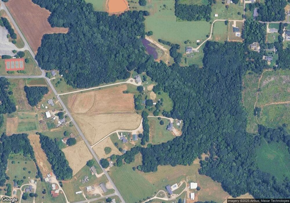
Map
Nearby Homes
- 1410 Patterson St
- 633 Patterson St
- 136 Autumn Blaze Rd
- 150 Autumn Blaze Rd
- 180 Autumn Blaze Rd
- 2135 Nc 152 W
- 518 Westside Cir
- 219 Berrybeth Cir
- 440 Mt Moriah Church Rd
- 200 Boysenberry
- 403 Stevens St
- 402 Louise Ave
- 220 Hazel St
- 2785 Nc 152 W
- 300 Chinaberry Dr
- 575 Brown Rd
- 309 Woodhaven Dr
- 205 W Centerview St
- 420 Black Bear St Unit 152p
- 0 N Chapel St
- 1330 Kimball Rd
- 1160 Kimball Rd
- 1150 Kimball Rd
- 1140 Kimball Rd
- 110 Basil Rd
- 1235 Kimball Rd
- 1275 Kimball Rd
- 1145 Kimball Rd
- 1050 Kimball Rd
- 1105 Kimball Rd Unit 8
- 1380 Kimball Rd
- 1065 Kimball Rd
- 150 Sutton Rd
- 180 Basil Rd
- 1055 Kimball Rd
- 1395 Patterson St
- 1415 Patterson St
- 1455 Patterson St
- 200 Basil Rd
- 220 Sutton Rd