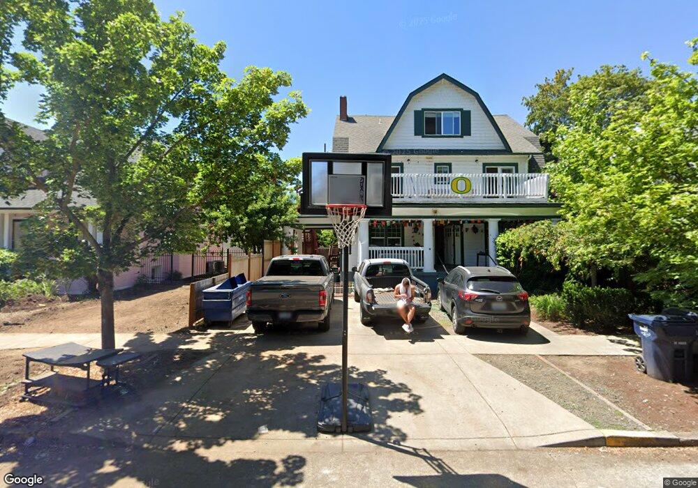
1240 Mill St Unit 1 Eugene, OR 97401
Estimated Value: $1,303,000 - $1,305,000
9
Beds
11
Baths
4,233
Sq Ft
$308/Sq Ft
Est. Value
About This Home
This home is located at 1240 Mill St Unit 1, Eugene, OR 97401 and is currently estimated at $1,304,000, approximately $308 per square foot. 1240 Mill St Unit 1 is a home located in Lane County with nearby schools including Edison Elementary School, Roosevelt Middle School, and South Eugene High School.
Ownership History
Date
Name
Owned For
Owner Type
Purchase Details
Closed on
Oct 26, 2009
Sold by
Twenty Llc
Bought by
Hansen T Dean and Hansen Patricia S
Current Estimated Value
Purchase Details
Closed on
May 22, 2006
Sold by
Guardalabene Jeannine S
Bought by
Hansen T Dean and Hansen Patricia S
Home Financials for this Owner
Home Financials are based on the most recent Mortgage that was taken out on this home.
Original Mortgage
$540,000
Interest Rate
6.56%
Mortgage Type
Fannie Mae Freddie Mac
Create a Home Valuation Report for This Property
The Home Valuation Report is an in-depth analysis detailing your home's value as well as a comparison with similar homes in the area
Purchase History
| Date | Buyer | Sale Price | Title Company |
|---|---|---|---|
| Hansen T Dean | -- | None Available | |
| Hansen T Dean | $675,000 | Western Title & Escrow Compa |
Source: Public Records
Mortgage History
| Date | Status | Borrower | Loan Amount |
|---|---|---|---|
| Previous Owner | Hansen T Dean | $540,000 |
Source: Public Records
Tax History
| Year | Tax Paid | Tax Assessment Tax Assessment Total Assessment is a certain percentage of the fair market value that is determined by local assessors to be the total taxable value of land and additions on the property. | Land | Improvement |
|---|---|---|---|---|
| 2025 | $9,549 | $490,092 | -- | -- |
| 2024 | $9,430 | $475,818 | -- | -- |
| 2023 | $9,430 | $461,960 | $0 | $0 |
| 2022 | $8,834 | $448,505 | $0 | $0 |
| 2021 | $8,298 | $435,442 | $0 | $0 |
| 2020 | $6,418 | $325,864 | $0 | $0 |
| 2019 | $6,199 | $316,373 | $0 | $0 |
| 2018 | $5,835 | $298,213 | $0 | $0 |
| 2017 | $5,574 | $298,213 | $0 | $0 |
| 2016 | $5,435 | $289,527 | $0 | $0 |
| 2015 | $5,279 | $281,094 | $0 | $0 |
| 2014 | $5,173 | $272,907 | $0 | $0 |
Source: Public Records
Map
Nearby Homes
- 344 E 14th Ave
- 1492 Pearl St
- 1600 Pearl St Unit 608
- 1375 Olive St Unit 503
- 1733 Mill Aly
- 0 Unknown Unit 480745727
- 1826 Mill St
- 0 E 6th Ave
- 1857 Pearl St
- 1313 Lincoln St Unit 503
- 1313 Lincoln St Unit 1005
- 1313 Lincoln St Unit 401
- 1828 Hilyard St
- 1673 Olive Aly
- 193 E 20th Ave
- 177 E 20th Ave
- 1034 Lawrence St
- 470 W Broadway
- 537 W 14th Ave
- 320 High St
Your Personal Tour Guide
Ask me questions while you tour the home.