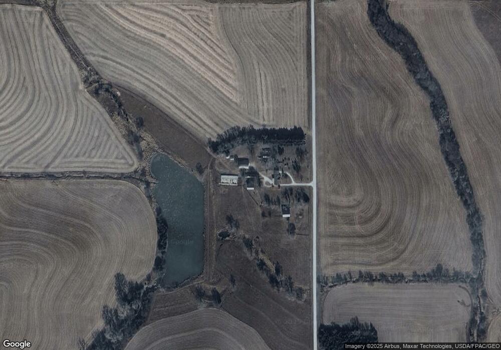
1240 S 44th Rd Talmage, NE 68448
Estimated Value: $373,000 - $580,795
4
Beds
2
Baths
1,480
Sq Ft
$312/Sq Ft
Est. Value
About This Home
This home is located at 1240 S 44th Rd, Talmage, NE 68448 and is currently estimated at $461,699, approximately $311 per square foot. 1240 S 44th Rd is a home with nearby schools including Johnson County Central Elementary School - Cook, Johnson County Central Elementary School - Tecumseh, and Johnson County Central Middle School.
Ownership History
Date
Name
Owned For
Owner Type
Purchase Details
Closed on
Jul 31, 2018
Sold by
Moore Elaine R and Grundman Ronald K
Bought by
Grundman Ronald K and Grundman Mary Beth
Current Estimated Value
Home Financials for this Owner
Home Financials are based on the most recent Mortgage that was taken out on this home.
Original Mortgage
$234,480
Outstanding Balance
$216,937
Interest Rate
4.5%
Mortgage Type
USDA
Estimated Equity
$244,762
Create a Home Valuation Report for This Property
The Home Valuation Report is an in-depth analysis detailing your home's value as well as a comparison with similar homes in the area
Home Values in the Area
Average Home Value in this Area
Purchase History
| Date | Buyer | Sale Price | Title Company |
|---|---|---|---|
| Grundman Ronald K | $469,000 | Ohio County Title Company |
Source: Public Records
Mortgage History
| Date | Status | Borrower | Loan Amount |
|---|---|---|---|
| Open | Grundman Ronald K | $234,480 |
Source: Public Records
Tax History Compared to Growth
Tax History
| Year | Tax Paid | Tax Assessment Tax Assessment Total Assessment is a certain percentage of the fair market value that is determined by local assessors to be the total taxable value of land and additions on the property. | Land | Improvement |
|---|---|---|---|---|
| 2024 | $6,508 | $498,856 | $297,550 | $201,306 |
| 2023 | $7,042 | $479,449 | $278,143 | $201,306 |
| 2022 | $5,780 | $396,892 | $247,362 | $149,530 |
| 2021 | $5,442 | $396,880 | $247,350 | $149,530 |
| 2020 | $5,330 | $386,880 | $237,350 | $149,530 |
| 2019 | $5,274 | $390,870 | $241,340 | $149,530 |
| 2018 | $5,158 | $397,680 | $248,150 | $149,530 |
| 2017 | $5,324 | $404,470 | $254,940 | $149,530 |
| 2016 | $5,532 | $416,430 | $266,900 | $149,530 |
| 2015 | $5,423 | $411,490 | $261,960 | $149,530 |
| 2014 | $5,515 | $377,450 | $227,920 | $149,530 |
| 2012 | $5,182 | $325,700 | $195,640 | $130,060 |
Source: Public Records
Map
Nearby Homes