1240 Sanford St Coos Bay, OR 97420
Estimated Value: $353,682 - $374,000
3
Beds
2
Baths
1,158
Sq Ft
$314/Sq Ft
Est. Value
About This Home
This home is located at 1240 Sanford St, Coos Bay, OR 97420 and is currently estimated at $363,841, approximately $314 per square foot. 1240 Sanford St is a home located in Coos County with nearby schools including Sunset School, Madison Elementary School, and Marshfield Senior High School.
Ownership History
Date
Name
Owned For
Owner Type
Purchase Details
Closed on
Jun 27, 2024
Sold by
Ruane Brianna and Gregory Hott Living Trust
Bought by
Moore Michele
Current Estimated Value
Purchase Details
Closed on
Feb 18, 2024
Sold by
Hott Gregory
Bought by
Gregory Hott Living Trust and Hott
Purchase Details
Closed on
Dec 15, 2011
Sold by
Hamil Doretta L
Bought by
Madison Nancy
Home Financials for this Owner
Home Financials are based on the most recent Mortgage that was taken out on this home.
Original Mortgage
$158,163
Interest Rate
3.94%
Mortgage Type
New Conventional
Create a Home Valuation Report for This Property
The Home Valuation Report is an in-depth analysis detailing your home's value as well as a comparison with similar homes in the area
Home Values in the Area
Average Home Value in this Area
Purchase History
| Date | Buyer | Sale Price | Title Company |
|---|---|---|---|
| Moore Michele | $359,000 | Ticor Title | |
| Gregory Hott Living Trust | -- | None Listed On Document | |
| Madison Nancy | $155,000 | Ticor Title Insurance |
Source: Public Records
Mortgage History
| Date | Status | Borrower | Loan Amount |
|---|---|---|---|
| Previous Owner | Madison Nancy | $158,163 |
Source: Public Records
Tax History Compared to Growth
Tax History
| Year | Tax Paid | Tax Assessment Tax Assessment Total Assessment is a certain percentage of the fair market value that is determined by local assessors to be the total taxable value of land and additions on the property. | Land | Improvement |
|---|---|---|---|---|
| 2024 | $2,775 | $159,660 | -- | -- |
| 2023 | $2,691 | $155,010 | $0 | $0 |
| 2022 | $2,647 | $150,500 | $0 | $0 |
| 2021 | $2,578 | $146,120 | $0 | $0 |
| 2020 | $2,506 | $146,120 | $0 | $0 |
| 2019 | $2,406 | $137,740 | $0 | $0 |
| 2018 | $2,323 | $133,730 | $0 | $0 |
| 2017 | $2,059 | $129,840 | $0 | $0 |
| 2016 | $1,966 | $126,067 | $0 | $0 |
| 2015 | $1,678 | $111,540 | $0 | $0 |
| 2014 | $1,678 | $109,350 | $0 | $0 |
Source: Public Records
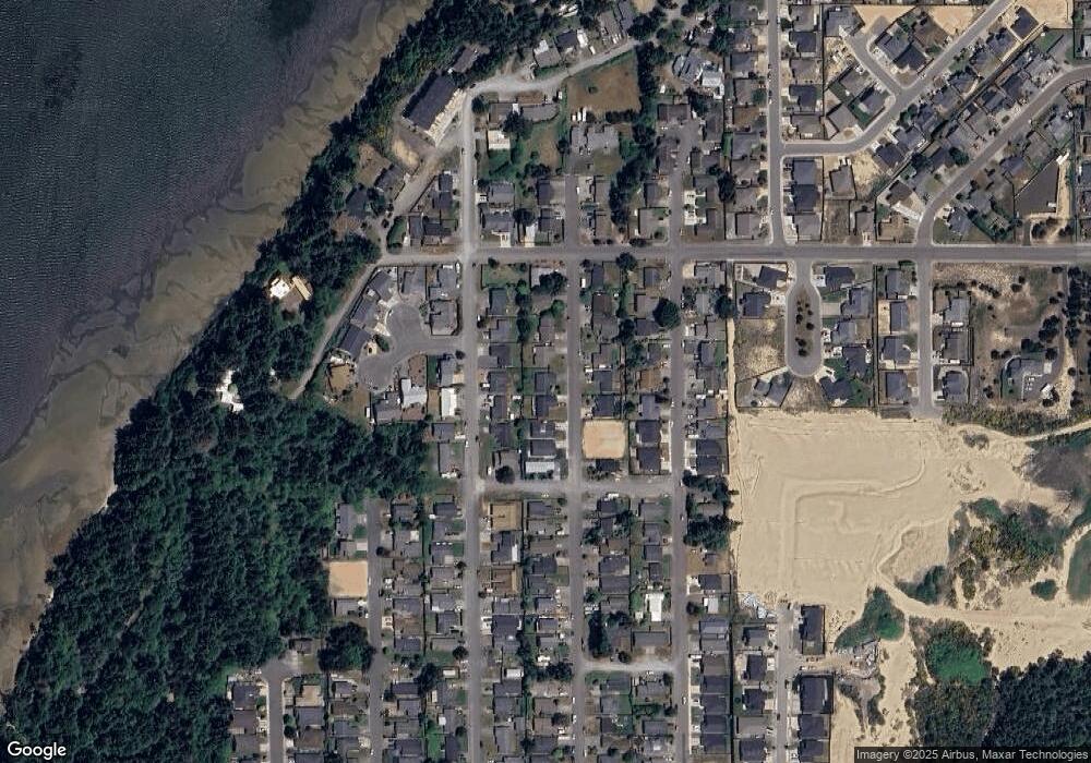
Map
Nearby Homes
- 1275 Fenwick St
- 1400 Holloway Mews
- 0 Seagate Ave Unit 24532470
- 1344 Seagate Ave
- 1125 Augustine Ave
- 1230 Seagate Ave
- 1123 Crocker St
- 1090 Sanford St
- 1065 Fenwick St
- 1227 Seagate St
- 1220 Seagate St
- 1065 Crocker St
- 1940 Pacific View Ln
- 2317 Laura Ln
- 1915 Arthur St
- 2180 Hayes St
- 2270 Hayes St
- 2065 Hayes St
- 2215 Garfield St
- 815 Fenwick St
- 1240 Sanford St
- 1250 Sanford Ave Unit 101
- 1250 Sanford Ave
- 1230 Sanford St
- 1245 Fenwick Ave
- 1220 Sanford St
- 1235 Fenwick Ave
- 1255 Fenwick Ave
- 1270 Sanford Ave
- 1260 Sanford St
- 1255 Sanford St
- 1265 Fenwick Ave
- 1225 Fenwick Ave
- 1210 Sanford St
- 1280 Sanford Ave
- 1245 Sanford Ave
- 1265 Sanford St
- 1520 Saint John Ave
- 1275 Sanford Ave
- 1590 Saint John Ave