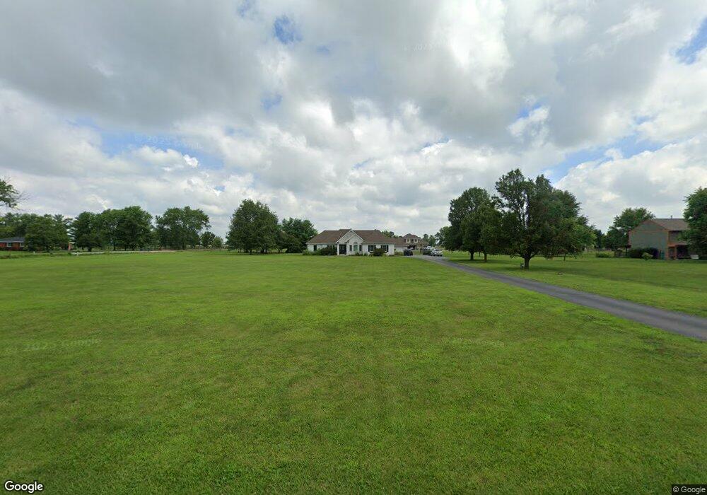
1240 W 100n Franklin, IN 46131
Estimated Value: $446,000 - $489,600
3
Beds
2
Baths
1,959
Sq Ft
$239/Sq Ft
Est. Value
About This Home
This home is located at 1240 W 100n, Franklin, IN 46131 and is currently estimated at $468,900, approximately $239 per square foot. 1240 W 100n is a home located in Johnson County with nearby schools including Creekside Elementary School, Custer Baker Intermediate School, and Franklin Community Middle School.
Ownership History
Date
Name
Owned For
Owner Type
Purchase Details
Closed on
Jun 26, 2009
Sold by
Alyea Brandon and Kermeen Kelly
Bought by
Alyea Brandon T and Alyea Kelly M
Current Estimated Value
Home Financials for this Owner
Home Financials are based on the most recent Mortgage that was taken out on this home.
Original Mortgage
$182,500
Outstanding Balance
$116,851
Interest Rate
4.94%
Mortgage Type
New Conventional
Estimated Equity
$352,049
Purchase Details
Closed on
Apr 15, 2005
Sold by
Coffin Charles E and Coffin Lori Lynn
Bought by
Alvea Brandon and Kermeen Kelly
Home Financials for this Owner
Home Financials are based on the most recent Mortgage that was taken out on this home.
Original Mortgage
$191,200
Interest Rate
6.06%
Mortgage Type
New Conventional
Create a Home Valuation Report for This Property
The Home Valuation Report is an in-depth analysis detailing your home's value as well as a comparison with similar homes in the area
Home Values in the Area
Average Home Value in this Area
Purchase History
| Date | Buyer | Sale Price | Title Company |
|---|---|---|---|
| Alyea Brandon T | -- | None Available | |
| Alvea Brandon | -- | Chicago Title Ins Co |
Source: Public Records
Mortgage History
| Date | Status | Borrower | Loan Amount |
|---|---|---|---|
| Open | Alyea Brandon T | $182,500 | |
| Closed | Alvea Brandon | $191,200 |
Source: Public Records
Tax History Compared to Growth
Tax History
| Year | Tax Paid | Tax Assessment Tax Assessment Total Assessment is a certain percentage of the fair market value that is determined by local assessors to be the total taxable value of land and additions on the property. | Land | Improvement |
|---|---|---|---|---|
| 2025 | $4,102 | $401,400 | $58,400 | $343,000 |
| 2024 | $4,102 | $327,000 | $58,400 | $268,600 |
| 2023 | $4,168 | $327,000 | $58,400 | $268,600 |
| 2022 | $4,051 | $314,900 | $58,400 | $256,500 |
| 2021 | $3,464 | $271,200 | $48,600 | $222,600 |
| 2020 | $3,357 | $262,700 | $48,600 | $214,100 |
| 2019 | $3,261 | $255,500 | $47,500 | $208,000 |
| 2018 | $2,716 | $231,000 | $47,500 | $183,500 |
| 2017 | $2,656 | $221,000 | $47,500 | $173,500 |
| 2016 | $2,772 | $217,600 | $47,500 | $170,100 |
| 2014 | $2,742 | $225,000 | $47,500 | $177,500 |
| 2013 | $2,742 | $227,000 | $47,500 | $179,500 |
Source: Public Records
Map
Nearby Homes
- 1982 W 100 N
- 00 W State Road 144
- 2032 Partridge Dr
- 2090 Partridge Dr
- 2150 Partridge Dr
- 2160 Partridge Dr
- 4051 W 100 N
- 1007 Belgium Blvd
- 988 Belgium Blvd
- 930 Belgium Blvd
- 317 W State Road 44
- 00 N State Road 135
- 602 Hospital Rd
- 02 S 100 W
- 03 S 100 W
- 01 S 100 W
- Norway Plan at Westwind at Cumberland
- Bradford Plan at Westwind at Cumberland
- Juniper Plan at Westwind at Cumberland
- Aspen II Plan at Westwind at Cumberland