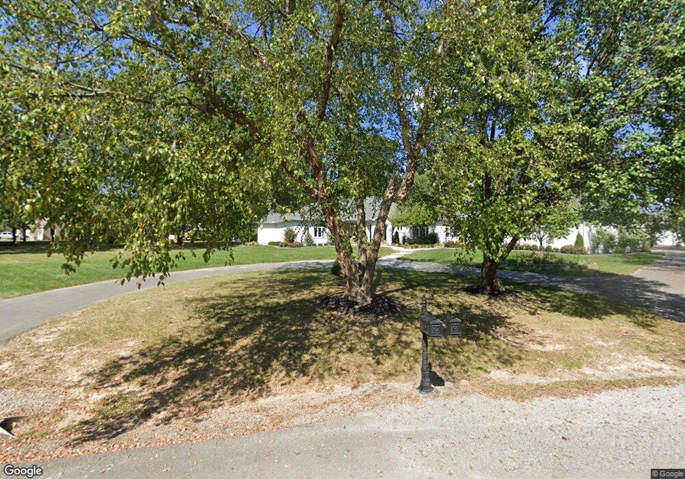
1240 Whipporwill Rd Carterville, IL 62918
Estimated Value: $432,000 - $643,000
--
Bed
--
Bath
4,010
Sq Ft
$133/Sq Ft
Est. Value
About This Home
This home is located at 1240 Whipporwill Rd, Carterville, IL 62918 and is currently estimated at $532,559, approximately $132 per square foot. 1240 Whipporwill Rd is a home located in Williamson County with nearby schools including Tri-C Elementary School, Carterville Junior High School, and Carterville High School.
Ownership History
Date
Name
Owned For
Owner Type
Purchase Details
Closed on
Sep 26, 2020
Sold by
Bigelow Reed L and Bigelow Mary A
Bought by
Craig Aaron D and Craig Lauren N
Current Estimated Value
Home Financials for this Owner
Home Financials are based on the most recent Mortgage that was taken out on this home.
Original Mortgage
$236,000
Outstanding Balance
$209,909
Interest Rate
2.9%
Mortgage Type
New Conventional
Estimated Equity
$322,650
Create a Home Valuation Report for This Property
The Home Valuation Report is an in-depth analysis detailing your home's value as well as a comparison with similar homes in the area
Home Values in the Area
Average Home Value in this Area
Purchase History
| Date | Buyer | Sale Price | Title Company |
|---|---|---|---|
| Craig Aaron D | $295,000 | Patchett Hampson And Garrison |
Source: Public Records
Mortgage History
| Date | Status | Borrower | Loan Amount |
|---|---|---|---|
| Open | Craig Aaron D | $236,000 |
Source: Public Records
Tax History Compared to Growth
Tax History
| Year | Tax Paid | Tax Assessment Tax Assessment Total Assessment is a certain percentage of the fair market value that is determined by local assessors to be the total taxable value of land and additions on the property. | Land | Improvement |
|---|---|---|---|---|
| 2025 | $10,218 | $140,730 | $26,020 | $114,710 |
| 2024 | $10,218 | $140,730 | $26,020 | $114,710 |
| 2023 | $10,218 | $140,730 | $26,020 | $114,710 |
| 2022 | $8,467 | $119,260 | $22,050 | $97,210 |
| 2021 | $10,932 | $114,950 | $21,250 | $93,700 |
| 2020 | $10,932 | $141,350 | $20,080 | $121,270 |
| 2019 | $10,114 | $141,350 | $20,080 | $121,270 |
| 2018 | $10,114 | $141,350 | $20,080 | $121,270 |
| 2017 | $9,711 | $141,350 | $20,080 | $121,270 |
| 2015 | $9,376 | $133,890 | $19,020 | $114,870 |
| 2013 | $7,860 | $133,890 | $19,020 | $114,870 |
| 2012 | $7,860 | $133,890 | $19,020 | $114,870 |
Source: Public Records
Map
Nearby Homes
- 1106 Falcon Ct
- 1303 W Grand Ave
- 109 Weisbrook Ln
- 1001 W Grand Ave
- 1000 Meadowlark Dr
- 914 Valley Dr
- 611 Crab Orchard Blvd
- 604 W Grand Ave
- 600 W Grand Ave
- 307 Noah Ln
- 400 Noah Ln
- 402 Noah Ln
- 519 Nevada St
- TBD Grace Ln
- 507 W Grand Ave
- 704 Jonathan Ln
- 208 Townhouse Dr
- 104 Townhouse Dr
- 124 Merry Acres Ln
- 504 Mulberry St
- 1240 Whipporwill Rd
- 304 Breeze Dr
- 1220 Whipporwill Rd
- 1300 Whipporwill Rd
- 302 Breeze Dr
- 305 Twin Lakes Rd
- 1301 Whipporwill Rd
- 300 Breeze Dr
- 303 Twin Lakes Rd
- 300 Twin Lakes Rd
- 1112 Whipporwill Rd
- 1303 Whipporwill Rd
- 0 Twin Lakes Rd Unit 20031221
- 000 Twin Lakes Rd
- 307 Breeze Dr
- 307 Twin Lakes Rd
- 210 Breeze Dr
- 1200 Mockingbird Ln
- 303 Breeze Dr
- 301 Twin Lakes Rd