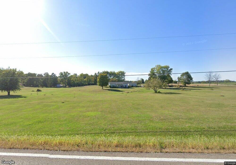
12401 State Route 188 Thornville, OH 43076
Estimated Value: $309,957 - $338,000
3
Beds
2
Baths
1,152
Sq Ft
$280/Sq Ft
Est. Value
About This Home
This home is located at 12401 State Route 188, Thornville, OH 43076 and is currently estimated at $321,989, approximately $279 per square foot. 12401 State Route 188 is a home located in Perry County with nearby schools including Sheridan High School.
Ownership History
Date
Name
Owned For
Owner Type
Purchase Details
Closed on
Mar 30, 2018
Sold by
Reed Robert L
Bought by
Barnette Shannon R
Current Estimated Value
Home Financials for this Owner
Home Financials are based on the most recent Mortgage that was taken out on this home.
Original Mortgage
$134,100
Outstanding Balance
$115,216
Interest Rate
4.4%
Mortgage Type
Future Advance Clause Open End Mortgage
Estimated Equity
$206,773
Create a Home Valuation Report for This Property
The Home Valuation Report is an in-depth analysis detailing your home's value as well as a comparison with similar homes in the area
Home Values in the Area
Average Home Value in this Area
Purchase History
| Date | Buyer | Sale Price | Title Company |
|---|---|---|---|
| Barnette Shannon R | $14,900 | Valmer Land Title Agency Box |
Source: Public Records
Mortgage History
| Date | Status | Borrower | Loan Amount |
|---|---|---|---|
| Open | Barnette Shannon R | $134,100 |
Source: Public Records
Tax History Compared to Growth
Tax History
| Year | Tax Paid | Tax Assessment Tax Assessment Total Assessment is a certain percentage of the fair market value that is determined by local assessors to be the total taxable value of land and additions on the property. | Land | Improvement |
|---|---|---|---|---|
| 2024 | $2,466 | $64,410 | $19,180 | $45,230 |
| 2023 | $2,466 | $64,410 | $19,180 | $45,230 |
| 2022 | $1,949 | $40,240 | $12,720 | $27,520 |
| 2021 | $1,763 | $40,240 | $12,720 | $27,520 |
| 2020 | $1,381 | $40,240 | $12,720 | $27,520 |
| 2019 | $1,044 | $32,430 | $11,160 | $21,270 |
| 2018 | $1,061 | $32,430 | $11,160 | $21,270 |
| 2017 | $1,078 | $32,430 | $11,160 | $21,270 |
| 2016 | $1,144 | $36,790 | $15,080 | $21,710 |
| 2015 | $1,143 | $36,790 | $15,080 | $21,710 |
| 2014 | $1,434 | $36,790 | $15,080 | $21,710 |
| 2013 | $1,110 | $36,790 | $15,080 | $21,710 |
| 2012 | -- | $36,790 | $15,080 | $21,710 |
Source: Public Records
Map
Nearby Homes
- 12317 State Route 188
- 12126 State Route 188
- 10472 Township Road 80
- 109 S Church St
- 5 S West St
- 11355 Ohio 204
- 0 County Rd Unit 2
- 73 N West St
- 148 E Columbus St
- 0 Greenway Rd Unit 223006253
- 300 E Columbus St
- 11655 New Salem Rd NE
- 11095 High Point Rd
- 0 Talbott St Unit 224024723
- 14672 Township Road 1062
- 14978 Township Road 403
- 15070 Township Road 412
- 1 Shoreline Dr
- 9419 Sovereign Place
- 15172 N Canoe Ln
- 12401 State Route 188
- 12401 State Route 188
- 12401 State Route 188
- 12493 State Route 188
- 12493 State Route 188
- 12426 State Route 188
- 12359 State Route 188
- 10492 Township Road 390
- 10436 Township Road 390
- 10548 Township Road 390
- 10548 Township Road 390
- 12435 Ridenour Rd
- 12361 Ridenour Rd
- 12254 State Route 188
- 12279 State Route 188
- 12729 State Route 188
- 12200 State Route 188
- 10570 Township Road 390
- 12398 Ridenour Rd
- 10587 Twp Rd390 - B NW Unit B