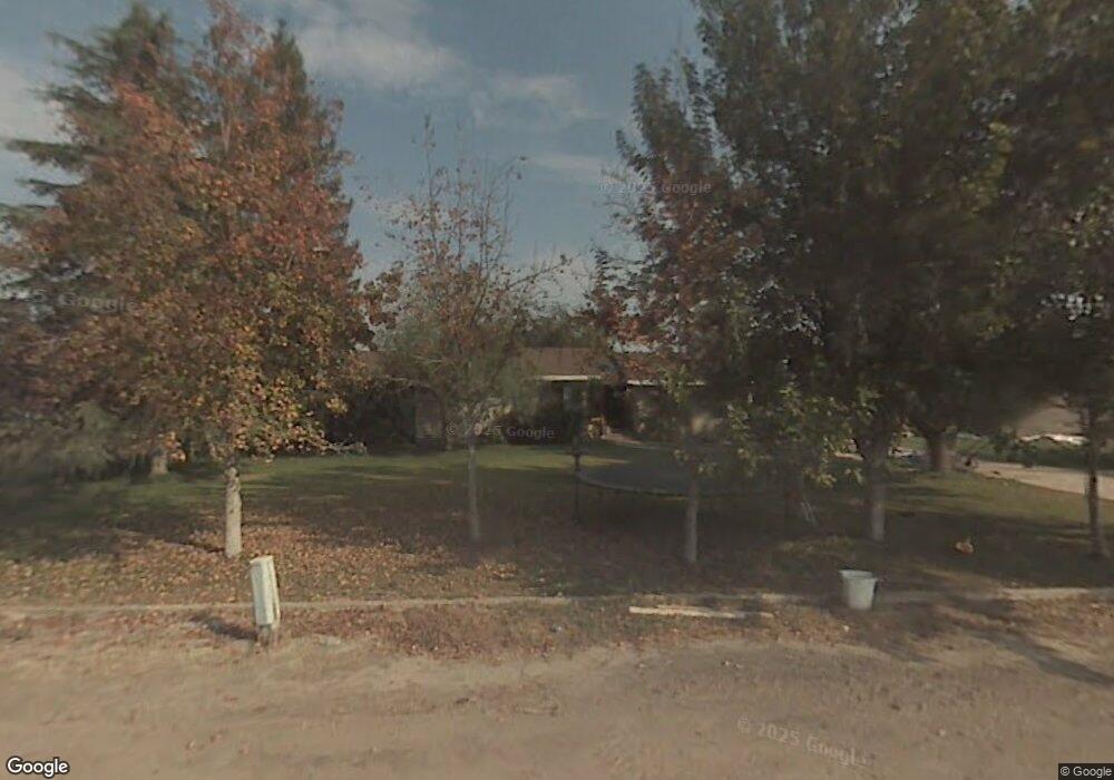
12406 Apiary Ct Bakersfield, CA 93313
Estimated Value: $447,000 - $736,000
3
Beds
2
Baths
1,784
Sq Ft
$323/Sq Ft
Est. Value
About This Home
This home is located at 12406 Apiary Ct, Bakersfield, CA 93313 and is currently estimated at $576,300, approximately $323 per square foot. 12406 Apiary Ct is a home located in Kern County with nearby schools including Panama Elementary School, Stonecreek Junior High School, and Ridgeview High School.
Ownership History
Date
Name
Owned For
Owner Type
Purchase Details
Closed on
Sep 15, 2022
Sold by
Cynthia Ornelas
Bought by
Kern Delta Water District
Current Estimated Value
Purchase Details
Closed on
Sep 10, 2021
Sold by
Joan Casey
Bought by
Kern Delta Water District
Purchase Details
Closed on
Nov 18, 2004
Sold by
Ornelas James and Ornelas Cynthia
Bought by
Ornelas Cynthia
Create a Home Valuation Report for This Property
The Home Valuation Report is an in-depth analysis detailing your home's value as well as a comparison with similar homes in the area
Purchase History
| Date | Buyer | Sale Price | Title Company |
|---|---|---|---|
| Kern Delta Water District | -- | -- | |
| Kern Delta Water District | -- | -- | |
| Ornelas Cynthia | -- | Fidelity Title |
Source: Public Records
Tax History
| Year | Tax Paid | Tax Assessment Tax Assessment Total Assessment is a certain percentage of the fair market value that is determined by local assessors to be the total taxable value of land and additions on the property. | Land | Improvement |
|---|---|---|---|---|
| 2025 | $3,302 | $238,171 | $50,644 | $187,527 |
| 2024 | $3,302 | $233,502 | $49,651 | $183,851 |
| 2023 | $3,152 | $228,925 | $48,678 | $180,247 |
| 2022 | $2,994 | $224,437 | $47,724 | $176,713 |
| 2021 | $2,899 | $220,038 | $46,789 | $173,249 |
| 2020 | $2,842 | $217,784 | $46,310 | $171,474 |
| 2019 | $2,804 | $217,784 | $46,310 | $171,474 |
| 2018 | $2,669 | $209,329 | $44,512 | $164,817 |
| 2017 | $2,596 | $205,226 | $43,640 | $161,586 |
| 2016 | $2,211 | $201,204 | $42,785 | $158,419 |
| 2015 | $2,205 | $198,183 | $42,143 | $156,040 |
| 2014 | $1,740 | $157,000 | $39,000 | $118,000 |
Source: Public Records
Map
Nearby Homes
- 8023 Immaculate Way
- 11217 Gosford Rd
- 6200 Whaleback Ave
- 10000 Fitchburg Dr
- 5809 Commonwealth Ave
- 5831 Mardal Ave
- 5918 Esmerelda Ave
- 5808 Esmerelda Ave
- 8424 Hosey Ave
- 9506 Orchard Grass Ct
- 6225 Thorton Ave
- 6405 Thorton Ave
- 2 Kaspar Mountain Ct
- 3 Kaspar Mountain Ct
- 9000 Farmington Way
- 5414 Red Wheat Ave
- 4017 Rolling Rock Ave
- 5612 Mckee Rd
- 6009 Moonstone Peak Dr
- 5805 Moonstone Peak Dr
- 6135 Megaris Ave
- 6217 Megaris Ave Unit 7
- 6249 Megaris Ave
- 6247 Athena Marie Ct
- 6317 Megaris Ave
- 6233 Athena Marie Ct
- 6353 Megaris Ave
- 6334 Megaris Ave
- 12602 Ashe Rd
- 12604 Ashe Rd
- 12424 Ashe Rd
- 12340 Ashe Rd
- 12238 Ashe Rd
- 12126 Ashe Rd
- 12712 Ashe Rd
- 6116 Houghton Rd
- 12649 Ashe Rd
- 12746 Ashe Rd
- 6404 Houghton Rd
- 6400 Houghton Rd
Your Personal Tour Guide
Ask me questions while you tour the home.