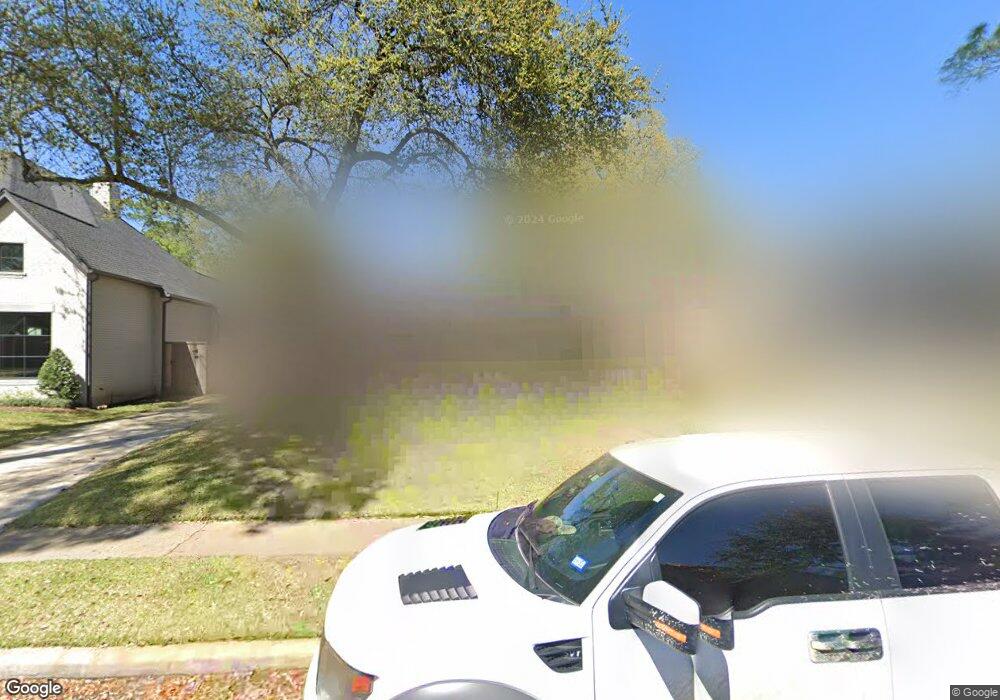
12406 Rip Van Winkle Dr Houston, TX 77024
Memorial NeighborhoodEstimated Value: $1,239,000 - $1,379,000
4
Beds
3
Baths
2,823
Sq Ft
$458/Sq Ft
Est. Value
About This Home
This home is located at 12406 Rip Van Winkle Dr, Houston, TX 77024 and is currently estimated at $1,291,780, approximately $457 per square foot. 12406 Rip Van Winkle Dr is a home located in Harris County with nearby schools including Frostwood Elementary School, Memorial Middle, and Memorial High School.
Ownership History
Date
Name
Owned For
Owner Type
Purchase Details
Closed on
Jul 31, 2000
Sold by
Angel Ann H
Bought by
Fiuzat Michael Hamid and Fiuzat Lindsay Taylor
Current Estimated Value
Home Financials for this Owner
Home Financials are based on the most recent Mortgage that was taken out on this home.
Original Mortgage
$304,000
Outstanding Balance
$107,502
Interest Rate
7.87%
Estimated Equity
$1,184,278
Purchase Details
Closed on
Apr 27, 1994
Sold by
Jenkins Ricky L and Jenkins Carolyn M
Bought by
Angel Harry F and Angel Ann H
Home Financials for this Owner
Home Financials are based on the most recent Mortgage that was taken out on this home.
Original Mortgage
$220,800
Interest Rate
7.71%
Create a Home Valuation Report for This Property
The Home Valuation Report is an in-depth analysis detailing your home's value as well as a comparison with similar homes in the area
Home Values in the Area
Average Home Value in this Area
Purchase History
| Date | Buyer | Sale Price | Title Company |
|---|---|---|---|
| Fiuzat Michael Hamid | -- | Charter Title Company | |
| Angel Harry F | -- | Title Agency #21 |
Source: Public Records
Mortgage History
| Date | Status | Borrower | Loan Amount |
|---|---|---|---|
| Open | Fiuzat Michael Hamid | $304,000 | |
| Previous Owner | Angel Harry F | $220,800 |
Source: Public Records
Tax History Compared to Growth
Tax History
| Year | Tax Paid | Tax Assessment Tax Assessment Total Assessment is a certain percentage of the fair market value that is determined by local assessors to be the total taxable value of land and additions on the property. | Land | Improvement |
|---|---|---|---|---|
| 2025 | $17,638 | $1,276,420 | $738,701 | $537,719 |
| 2024 | $17,638 | $1,101,816 | $698,771 | $403,045 |
| 2023 | $17,638 | $1,014,743 | $698,771 | $315,972 |
| 2022 | $20,505 | $918,000 | $648,859 | $269,141 |
| 2021 | $19,467 | $797,327 | $598,946 | $198,381 |
| 2020 | $20,546 | $820,000 | $598,946 | $221,054 |
| 2019 | $21,232 | $811,000 | $598,946 | $212,054 |
| 2018 | $7,635 | $780,000 | $598,946 | $181,054 |
| 2017 | $20,406 | $780,000 | $598,946 | $181,054 |
| 2016 | $20,406 | $780,000 | $598,946 | $181,054 |
| 2015 | $14,884 | $863,000 | $598,946 | $264,054 |
| 2014 | $14,884 | $870,700 | $449,210 | $421,490 |
Source: Public Records
Map
Nearby Homes
- 12334 Beauregard Dr
- 358 Tealwood Dr
- 354 Tealwood Dr
- 12326 Old Oaks Dr
- 336 Litchfield Ln
- 318 Litchfield Ln
- 12406 Overcup Dr
- 206 Sutton Row Place
- 207 Sutton Row Place
- 12511 Overcup Dr
- 209 Sutton Row Place
- 211 Sutton Row Place
- 203 Memorial Parkview Dr
- 212 Morningside Park St
- 271 Litchfield Ln
- 216 Morningside Park St
- 115 Litchfield Ln
- 12564 Memorial Dr
- 220 Morningside Park St
- 53 Litchfield Ln
- 12410 Rip Van Winkle Dr
- 12402 Rip Van Winkle Dr
- 12407 Boheme Dr
- 12403 Boheme Dr
- 12411 Boheme Dr
- 12414 Rip Van Winkle Dr
- 12407 Rip Van Winkle Dr
- 12411 Rip Van Winkle Dr
- 12403 Rip Van Winkle Dr
- 12415 Boheme Dr
- 12342 Rip Van Winkle Dr
- 12415 Rip Van Winkle Dr
- 12418 Rip Van Winkle Dr
- 12335 Boheme Dr
- 12419 Boheme Dr
- 12402 Boheme Dr
- 12419 Rip Van Winkle Dr
- 12406 Boheme Dr
- 12338 Rip Van Winkle Dr
- 12343 Rip Van Winkle Dr