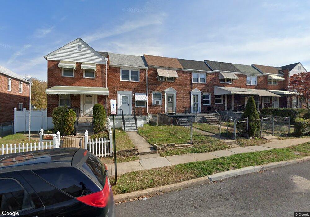
1241 Broening Hwy Baltimore, MD 21224
O'Donnell Heights NeighborhoodEstimated Value: $158,000 - $158,024
--
Bed
1
Bath
840
Sq Ft
$188/Sq Ft
Est. Value
About This Home
This home is located at 1241 Broening Hwy, Baltimore, MD 21224 and is currently estimated at $158,012, approximately $188 per square foot. 1241 Broening Hwy is a home located in Baltimore City with nearby schools including Graceland Park-O'Donnell Heights Elementary/Middle School, Booker T. Washington Middle School, and Patterson High School.
Ownership History
Date
Name
Owned For
Owner Type
Purchase Details
Closed on
Nov 8, 2000
Sold by
Secretary Of The Us Department Of
Bought by
Anderson Mary
Current Estimated Value
Purchase Details
Closed on
Feb 2, 2000
Sold by
Scott Helen M
Bought by
Secretary Of The Us Department Of and Housing & Urban Development
Purchase Details
Closed on
Jan 21, 1998
Sold by
Scott Helen M
Bought by
Scott Helen M
Create a Home Valuation Report for This Property
The Home Valuation Report is an in-depth analysis detailing your home's value as well as a comparison with similar homes in the area
Home Values in the Area
Average Home Value in this Area
Purchase History
| Date | Buyer | Sale Price | Title Company |
|---|---|---|---|
| Anderson Mary | $23,500 | -- | |
| Secretary Of The Us Department Of | $56,092 | -- | |
| Scott Helen M | $44,000 | -- |
Source: Public Records
Tax History Compared to Growth
Tax History
| Year | Tax Paid | Tax Assessment Tax Assessment Total Assessment is a certain percentage of the fair market value that is determined by local assessors to be the total taxable value of land and additions on the property. | Land | Improvement |
|---|---|---|---|---|
| 2025 | $2,346 | $106,100 | $15,000 | $91,100 |
| 2024 | $2,346 | $99,867 | $0 | $0 |
| 2023 | $2,210 | $93,633 | $0 | $0 |
| 2022 | $2,063 | $87,400 | $15,000 | $72,400 |
| 2021 | $1,967 | $83,333 | $0 | $0 |
| 2020 | $1,871 | $79,267 | $0 | $0 |
| 2019 | $1,766 | $75,200 | $15,000 | $60,200 |
| 2018 | $1,775 | $75,200 | $15,000 | $60,200 |
| 2017 | $1,775 | $75,200 | $0 | $0 |
| 2016 | $1,919 | $84,200 | $0 | $0 |
| 2015 | $1,919 | $83,133 | $0 | $0 |
| 2014 | $1,919 | $82,067 | $0 | $0 |
Source: Public Records
Map
Nearby Homes
- 6109 Bessemer Ave
- 1600 Charlotte Ave
- 6424 Bushey St
- 6302 Brown Ave
- 6609 Bushey St
- 724 Umbra St
- 6321 Brown Ave
- 6705 Gary Ave
- 6707 1/2 Gary Ave
- 705 Tolna St
- 6620 Bushey St
- 6700 Hudson St
- 6714 Boston Ave
- 5905 O Donnell St
- 466 Hornel St
- 6728 Boston Ave
- 464 Hornel St
- 432 Bonsal St
- 625 Savage St
- 425 Elrino St
- 1239 Broening Hwy
- 1243 Broening Hwy
- 1245 Broening Hwy
- 1237 Broening Hwy
- 1247 Broening Hwy
- 1249 Broening Hwy
- 1235 Broening Hwy
- 1251 Broening Hwy
- 1233 Broening Hwy
- 1231 Broening Hwy
- 1301 Broening Hwy
- 1229 Broening Hwy
- 1227 Broening Hwy
- 1303 Broening Hwy
- 1225 Broening Hwy
- 1305 Broening Hwy
- 1223 Broening Hwy
- 1307 Broening Hwy
- 1232 Broening Hwy
- 1230 Broening Hwy