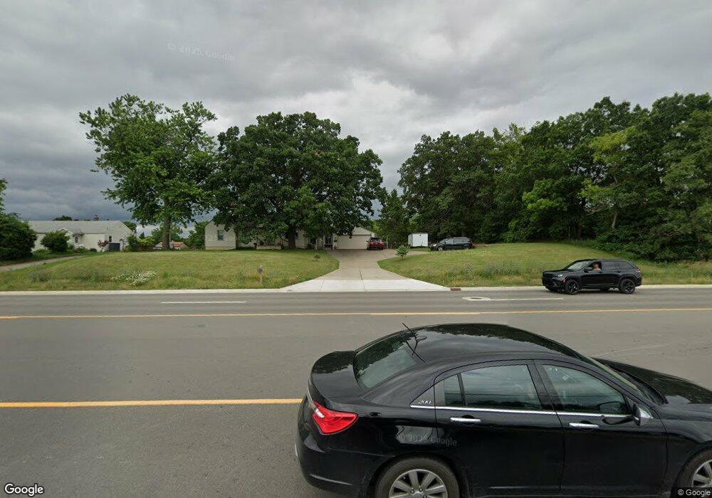
1241 Brown Rd Lake Orion, MI 48359
Estimated Value: $252,136 - $363,000
3
Beds
1
Bath
1,161
Sq Ft
$247/Sq Ft
Est. Value
About This Home
This home is located at 1241 Brown Rd, Lake Orion, MI 48359 and is currently estimated at $286,784, approximately $247 per square foot. 1241 Brown Rd is a home located in Oakland County with nearby schools including Rogers Elementary, Pontiac Middle School, and Pontiac High School.
Ownership History
Date
Name
Owned For
Owner Type
Purchase Details
Closed on
Oct 2, 2018
Sold by
Macmillan John B
Bought by
Brown Road 1241 Llc
Current Estimated Value
Purchase Details
Closed on
Aug 21, 2018
Sold by
Wells Fargo Bank Na
Bought by
Macmillan John B
Purchase Details
Closed on
Dec 5, 2017
Sold by
Jackovatz Robert
Bought by
Wells Fargo Bank and Wamu Mortgage Pass Through Certificate S
Purchase Details
Closed on
Nov 7, 1990
Sold by
Bowles Katherine L and Bowles William J
Bought by
Bowles Katherine L and Jackovatz Robert J
Create a Home Valuation Report for This Property
The Home Valuation Report is an in-depth analysis detailing your home's value as well as a comparison with similar homes in the area
Home Values in the Area
Average Home Value in this Area
Purchase History
| Date | Buyer | Sale Price | Title Company |
|---|---|---|---|
| Brown Road 1241 Llc | -- | None Available | |
| Macmillan John B | $97,650 | None Available | |
| Wells Fargo Bank | $107,083 | None Available | |
| Bowles Katherine L | -- | American Title Ins Co |
Source: Public Records
Tax History Compared to Growth
Tax History
| Year | Tax Paid | Tax Assessment Tax Assessment Total Assessment is a certain percentage of the fair market value that is determined by local assessors to be the total taxable value of land and additions on the property. | Land | Improvement |
|---|---|---|---|---|
| 2024 | $2,611 | $88,710 | $0 | $0 |
| 2023 | $2,489 | $77,030 | $0 | $0 |
| 2022 | $3,143 | $73,150 | $0 | $0 |
| 2021 | $3,036 | $68,500 | $0 | $0 |
| 2020 | $2,303 | $64,410 | $0 | $0 |
| 2019 | $2,845 | $62,710 | $0 | $0 |
| 2018 | $1,284 | $61,830 | $0 | $0 |
| 2017 | $1,218 | $61,830 | $0 | $0 |
| 2016 | $1,214 | $61,410 | $0 | $0 |
| 2015 | -- | $52,470 | $0 | $0 |
| 2014 | -- | $47,500 | $0 | $0 |
| 2011 | -- | $41,950 | $0 | $0 |
Source: Public Records
Map
Nearby Homes
- 2500 Judah Rd
- 1286 Taylor Rd
- 4758 Broomfield Way
- 4789 Glenora Dr
- 4759 Glenora Dr
- 4709 Broomfield Way Unit 8
- 2262 Hammerslea Rd
- 0000 Gregory Rd
- 4920 Estes Dr
- 4900 Estes Dr
- 3755 Joslyn Rd
- 4801 Huston Dr
- 4845 Huston Dr
- 4825 Huston Dr
- 4860 Huston Dr
- 8 Parakeet Hill Dr Unit 147
- 1038 Vinewood St
- 19 Parakeet Hill Dr Unit 180
- 3748 Minton Rd
- 25 Canary Hill Dr