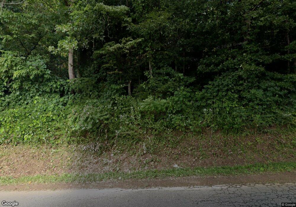
1241 Bryant Rd Ranger, GA 30734
Estimated Value: $675,000
--
Bed
3
Baths
--
Sq Ft
219.51
Acres
About This Home
This home is located at 1241 Bryant Rd, Ranger, GA 30734 and is currently estimated at $675,000. 1241 Bryant Rd is a home located in Pickens County with nearby schools including Hill City Elementary School, Pickens County Middle School, and Pickens County High School.
Ownership History
Date
Name
Owned For
Owner Type
Purchase Details
Closed on
Sep 25, 2015
Sold by
Community Bank Of Pickens
Bought by
Hermann & Co Llc
Current Estimated Value
Home Financials for this Owner
Home Financials are based on the most recent Mortgage that was taken out on this home.
Original Mortgage
$336,400
Interest Rate
4.02%
Mortgage Type
New Conventional
Purchase Details
Closed on
Aug 28, 2015
Sold by
Hermann Mark Robert
Bought by
Hermann Mark Robert and Hermann Tammy Elizabeth
Home Financials for this Owner
Home Financials are based on the most recent Mortgage that was taken out on this home.
Original Mortgage
$336,400
Interest Rate
4.02%
Mortgage Type
New Conventional
Purchase Details
Closed on
Feb 17, 2015
Sold by
Burton Andrew Preston
Bought by
Community Bank Of Pickens Coun
Purchase Details
Closed on
Jan 31, 2001
Sold by
Burton Fred
Bought by
Burton Andrew Preston
Create a Home Valuation Report for This Property
The Home Valuation Report is an in-depth analysis detailing your home's value as well as a comparison with similar homes in the area
Home Values in the Area
Average Home Value in this Area
Purchase History
| Date | Buyer | Sale Price | Title Company |
|---|---|---|---|
| Hermann & Co Llc | $750,000 | -- | |
| Hermann Mark Robert | -- | -- | |
| Hermann Mark Robert | $350,000 | -- | |
| Community Bank Of Pickens Coun | -- | -- | |
| Burton Andrew Preston | -- | -- |
Source: Public Records
Mortgage History
| Date | Status | Borrower | Loan Amount |
|---|---|---|---|
| Closed | Hermann Mark Robert | $336,400 |
Source: Public Records
Tax History Compared to Growth
Tax History
| Year | Tax Paid | Tax Assessment Tax Assessment Total Assessment is a certain percentage of the fair market value that is determined by local assessors to be the total taxable value of land and additions on the property. | Land | Improvement |
|---|---|---|---|---|
| 2024 | $6,762 | $341,687 | $326,644 | $15,043 |
| 2023 | $6,949 | $341,687 | $326,644 | $15,043 |
| 2022 | $6,949 | $341,687 | $326,644 | $15,043 |
| 2021 | $7,445 | $341,687 | $326,644 | $15,043 |
| 2020 | $7,411 | $330,204 | $326,644 | $3,560 |
| 2019 | $9,447 | $315,152 | $313,586 | $1,566 |
| 2018 | $7,304 | $315,152 | $313,586 | $1,566 |
| 2017 | $7,423 | $315,152 | $313,586 | $1,566 |
| 2016 | $7,125 | $297,725 | $296,158 | $1,566 |
| 2013 | -- | $6,870 | $301,296 | $6,870 |
Source: Public Records
Map
Nearby Homes
- 1514 Bryant Rd
- 1653 Thompson Ln
- 0 Pin Hook Rd Unit 7616347
- 0 Stonecrest Rd
- 3 Carver Mill Rd
- 000 Black Knob Church Rd
- 0 Black Knob Church Rd - Tract 2
- 0 Black Knob Church Rd - Tract 3
- 0 Black Knob Church Rd Unit TRACT 3
- 0 Black Knob Church Rd Unit TRACT 2
- 11953 Henderson Mountain Rd
- 0 Highway 53 W Unit 7205- NORTH 10585266
- 0 Highway 53 W Unit 7205 10534544
- 1504 Pinhook Rd
- 1504 Pinhook Rd
- 110 Jerusalem Farms Dr
- 1 Young Loop
- 2 Young Loop
- 3 Young Loop
- Lot 4 Young Loop
- 1319 Bryant Rd
- 392 Moore Farms Ln
- 1387 Bryant Rd
- 517 Moore Farms Ln
- 0 Bryant Rd Unit 10464694
- 0 Bryant Rd Unit 7529253
- 0 Bryant Rd Unit 10432872
- 0 Bryant Rd Unit 7502782
- 0 Bryant Rd Unit 7426317
- 0 Bryant Rd
- 1515 Bryant Rd
- 2 Bryant Rd
- 0 Homestead Cove Rd
- 000 Homestead Cove Rd
- 0 Homestead Cove Rd Unit 9028333
- 0 Homestead Cove Rd Unit 10017418
- 0 Homestead Cove Rd Unit 6995955
- 0 Homestead Cove Rd Unit 7163564
- 0 Homestead Cove Rd Unit 3039939
- 0 Homestead Cove Rd Unit 8362559
