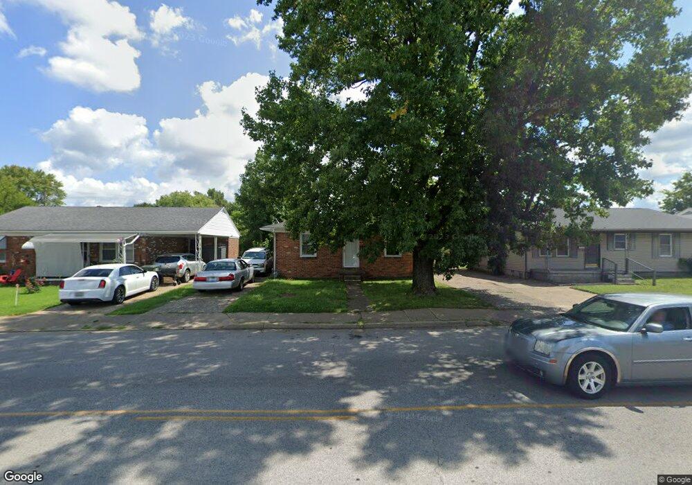
1241 Carter Rd Owensboro, KY 42301
Dugan Best NeighborhoodEstimated Value: $62,000
--
Bed
2
Baths
1,200
Sq Ft
$52/Sq Ft
Est. Value
About This Home
This home is located at 1241 Carter Rd, Owensboro, KY 42301 and is currently priced at $62,000, approximately $51 per square foot. 1241 Carter Rd is a home located in Daviess County with nearby schools including Sorgho Elementary School, F.T. Burns Middle School, and Apollo High School.
Ownership History
Date
Name
Owned For
Owner Type
Purchase Details
Closed on
Jul 5, 2024
Sold by
Ltr Investments Llc
Bought by
M-Plex Commercial Holdings Llc
Current Estimated Value
Create a Home Valuation Report for This Property
The Home Valuation Report is an in-depth analysis detailing your home's value as well as a comparison with similar homes in the area
Home Values in the Area
Average Home Value in this Area
Purchase History
| Date | Buyer | Sale Price | Title Company |
|---|---|---|---|
| M-Plex Commercial Holdings Llc | $143,600 | Attorney Only |
Source: Public Records
Tax History Compared to Growth
Tax History
| Year | Tax Paid | Tax Assessment Tax Assessment Total Assessment is a certain percentage of the fair market value that is determined by local assessors to be the total taxable value of land and additions on the property. | Land | Improvement |
|---|---|---|---|---|
| 2025 | $196 | $143,600 | $0 | $0 |
| 2024 | $196 | $75,000 | $0 | $0 |
| 2023 | $781 | $75,000 | $0 | $0 |
| 2022 | $770 | $58,000 | $0 | $0 |
| 2021 | $776 | $58,000 | $0 | $0 |
| 2020 | $781 | $58,000 | $0 | $0 |
| 2019 | $16,044 | $58,000 | $0 | $0 |
| 2018 | $1,147 | $52,000 | $0 | $0 |
| 2017 | $1,143 | $52,000 | $0 | $0 |
| 2016 | $1,108 | $52,000 | $0 | $0 |
| 2015 | $135 | $52,000 | $0 | $0 |
| 2014 | $135 | $52,000 | $0 | $0 |
Source: Public Records
Map
Nearby Homes
- 1032 Piedmont Dr
- 1002 Piedmont Dr
- 2500 Old Henderson Rd
- 2323 N Stratford Dr
- 730 Carter Rd
- 2258 N York St
- 2252 S York St
- 672 Greenbriar St
- 2304 W 7th St
- 416 Jed Place
- 509 Omega St
- 1914 Tomy Lee Ct
- 2124 Griffith Ave
- 3240 Parish Ave W
- 2215 W 8th St
- 2216 Bittel Rd
- 2216A Bittel Rd
- 2020 York Dr
- 2057 Bittel Rd
- 2409 Citation Ave
- 1237 Carter Rd
- 1233 Carter Rd
- 1305 Carter Rd
- 1302 Wayside Dr W
- 1308 Wayside Dr W
- 1242 Wayside Dr W
- 1314 Wayside Dr W
- 1229 Carter Rd
- 1309 Carter Rd
- 1236 Wayside Dr W
- 1320 Wayside Dr W
- 1315 Carter Rd
- 1223 Carter Rd
- 1230 Wayside Dr W
- 1326 Wayside Dr W
- 1219 Carter Rd
- 1319 Carter Rd
- 1224 Wayside Dr W
- 1307 Wayside Dr W
- 1301 Wayside Dr W