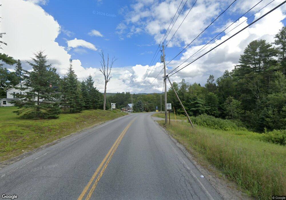
1241 County Route 29 Olmstedville, NY 12857
Estimated Value: $253,000 - $297,000
3
Beds
2
Baths
1,152
Sq Ft
$236/Sq Ft
Est. Value
About This Home
This home is located at 1241 County Route 29, Olmstedville, NY 12857 and is currently estimated at $271,940, approximately $236 per square foot. 1241 County Route 29 is a home located in Essex County with nearby schools including Minerva Central School.
Ownership History
Date
Name
Owned For
Owner Type
Purchase Details
Closed on
Apr 30, 2020
Sold by
Macgibbon Susanne P
Bought by
Lazar Damien and Greppi Chloe
Current Estimated Value
Purchase Details
Closed on
Mar 21, 2016
Sold by
Vener David
Bought by
Macgibbon William and Macgibbon
Home Financials for this Owner
Home Financials are based on the most recent Mortgage that was taken out on this home.
Original Mortgage
$154,950
Interest Rate
3.65%
Mortgage Type
New Conventional
Purchase Details
Closed on
Jan 6, 2004
Sold by
Lapointe David G
Bought by
Jaslow Eric
Create a Home Valuation Report for This Property
The Home Valuation Report is an in-depth analysis detailing your home's value as well as a comparison with similar homes in the area
Home Values in the Area
Average Home Value in this Area
Purchase History
| Date | Buyer | Sale Price | Title Company |
|---|---|---|---|
| Lazar Damien | $155,000 | Westcore Title | |
| Macgibbon William | $150,000 | Mary-Ellen Stockwell | |
| Jaslow Eric | $135,000 | Heather Knott |
Source: Public Records
Mortgage History
| Date | Status | Borrower | Loan Amount |
|---|---|---|---|
| Previous Owner | Macgibbon William | $154,950 |
Source: Public Records
Tax History Compared to Growth
Tax History
| Year | Tax Paid | Tax Assessment Tax Assessment Total Assessment is a certain percentage of the fair market value that is determined by local assessors to be the total taxable value of land and additions on the property. | Land | Improvement |
|---|---|---|---|---|
| 2024 | $3,264 | $213,100 | $45,500 | $167,600 |
| 2023 | $3,056 | $154,400 | $41,400 | $113,000 |
| 2022 | $3,207 | $154,400 | $41,400 | $113,000 |
| 2021 | $3,454 | $167,700 | $35,400 | $132,300 |
| 2020 | $3,419 | $162,800 | $35,400 | $127,400 |
| 2019 | $3,500 | $162,800 | $35,400 | $127,400 |
| 2018 | $3,422 | $162,800 | $35,400 | $127,400 |
| 2017 | $3,330 | $162,800 | $35,400 | $127,400 |
| 2016 | $3,473 | $162,800 | $35,400 | $127,400 |
| 2015 | -- | $121,700 | $30,300 | $91,400 |
| 2014 | -- | $121,700 | $30,300 | $91,400 |
Source: Public Records
Map
Nearby Homes
- 1157 County Route 29
- 640 Church Rd
- 574 Morse Memorial Hwy
- L36 County Route 29
- 243 Trout Brook Rd
- L30 Lane Rd
- 21 Ted Wells Rd
- 95 Lane Rd
- 118 Federal Flats Rd
- 1158 New York 28n
- 1240 State Route 28n
- 156 Hard Scrabble Rd
- 68 Walter Foote Rd
- 0 Stet Route 28n
- 115 John Brannon Rd
- 135 John Brannon Rd
- 436 Olmstedville Rd
- L9 Bird Pond Rd
- L28 New York 28n
- 211 Perry Rd
- 1241 County Route 29
- 1241 County Route 29
- 1245 County Route 29
- 1229 County Road 29
- 1229 County Route 29
- 00 County Route 29
- 1250 County Route 29
- 1234 County Route 29
- 1234 County Route 29
- 1219 County Route 29
- 1226 County Route 29
- 1262 County Route 29
- 1214 County Route 29
- 1214 County Road 29
- 1205 County Route 29
- 1206 County Route 29
- 1285 County Route 29
- 1284 County Route 29
- 1292 Olmstedville Rd
- 1193 County Route 29
