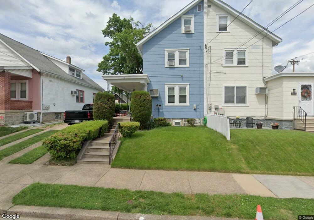
1241 Disston St Philadelphia, PA 19111
Castor Gardens NeighborhoodEstimated Value: $340,877 - $363,000
--
Bed
--
Bath
1,800
Sq Ft
$196/Sq Ft
Est. Value
About This Home
This home is located at 1241 Disston St, Philadelphia, PA 19111 and is currently estimated at $352,469, approximately $195 per square foot. 1241 Disston St is a home located in Philadelphia County with nearby schools including J. Hampton Moore School, Castor Gardens Middle School, and Northeast High School.
Ownership History
Date
Name
Owned For
Owner Type
Purchase Details
Closed on
Jun 19, 2002
Sold by
Bray Kathryn M and Levins Kathryn M
Bought by
Zayas Jose G and Zayas Daisy
Current Estimated Value
Home Financials for this Owner
Home Financials are based on the most recent Mortgage that was taken out on this home.
Original Mortgage
$88,000
Outstanding Balance
$37,497
Interest Rate
6.92%
Estimated Equity
$314,972
Purchase Details
Closed on
Jun 16, 1999
Sold by
Levins Girard F and Levins Kathryn M Bray
Bought by
Levins Kathryn M
Create a Home Valuation Report for This Property
The Home Valuation Report is an in-depth analysis detailing your home's value as well as a comparison with similar homes in the area
Home Values in the Area
Average Home Value in this Area
Purchase History
| Date | Buyer | Sale Price | Title Company |
|---|---|---|---|
| Zayas Jose G | $110,000 | -- | |
| Levins Kathryn M | -- | -- |
Source: Public Records
Mortgage History
| Date | Status | Borrower | Loan Amount |
|---|---|---|---|
| Open | Zayas Jose G | $88,000 |
Source: Public Records
Tax History Compared to Growth
Tax History
| Year | Tax Paid | Tax Assessment Tax Assessment Total Assessment is a certain percentage of the fair market value that is determined by local assessors to be the total taxable value of land and additions on the property. | Land | Improvement |
|---|---|---|---|---|
| 2025 | $1,617 | $305,400 | $61,080 | $244,320 |
| 2024 | $1,617 | $305,400 | $61,080 | $244,320 |
| 2023 | $1,617 | $245,300 | $49,060 | $196,240 |
| 2022 | $1,617 | $115,500 | $49,060 | $66,440 |
| 2021 | $1,617 | $0 | $0 | $0 |
| 2020 | $1,617 | $0 | $0 | $0 |
| 2019 | $1,617 | $0 | $0 | $0 |
| 2018 | $1,617 | $0 | $0 | $0 |
| 2017 | $1,617 | $0 | $0 | $0 |
| 2016 | $1,617 | $0 | $0 | $0 |
| 2015 | $1,084 | $0 | $0 | $0 |
| 2014 | -- | $180,100 | $54,172 | $125,928 |
| 2012 | -- | $12,320 | $4,101 | $8,219 |
Source: Public Records
Map
Nearby Homes
- 1202 Disston St
- 6839 Summerdale Ave
- 1305 Glenview St
- 1238 Glenview St
- 1300 Glenview St
- 1341 Tyson Ave
- 1336 Longshore Ave
- 1114 Brighton St
- 1217 Princeton Ave
- 7004 Loretto Ave
- 1133 Knorr St
- 1216 Knorr St
- 1055 Tyson Ave
- 1116 Friendship St
- 1136 Kerper St
- 1007 Brighton St
- 1019 Disston St
- 1117 Unruh Ave
- 1329 Saint Vincent St
- 1324 Unruh Ave
- 1243 Disston St
- 1239 Disston St Unit 2
- 1239 Disston St
- 1235 Disston St
- 1238 Tyson Ave
- 1240 Tyson Ave
- 1232 Tyson Ave
- 1231 Disston St
- 1301 Disston St
- 1240 Disston St
- 1242 Disston St
- 1238 Disston St
- 1230 Tyson Ave
- 1232-34 Disston St
- 1232 Disston St Unit 34
- 1300 Tyson Ave
- 6907 Frontenac St
- 1230 Disston St
- 1305 Disston St
- 1306 Tyson Ave