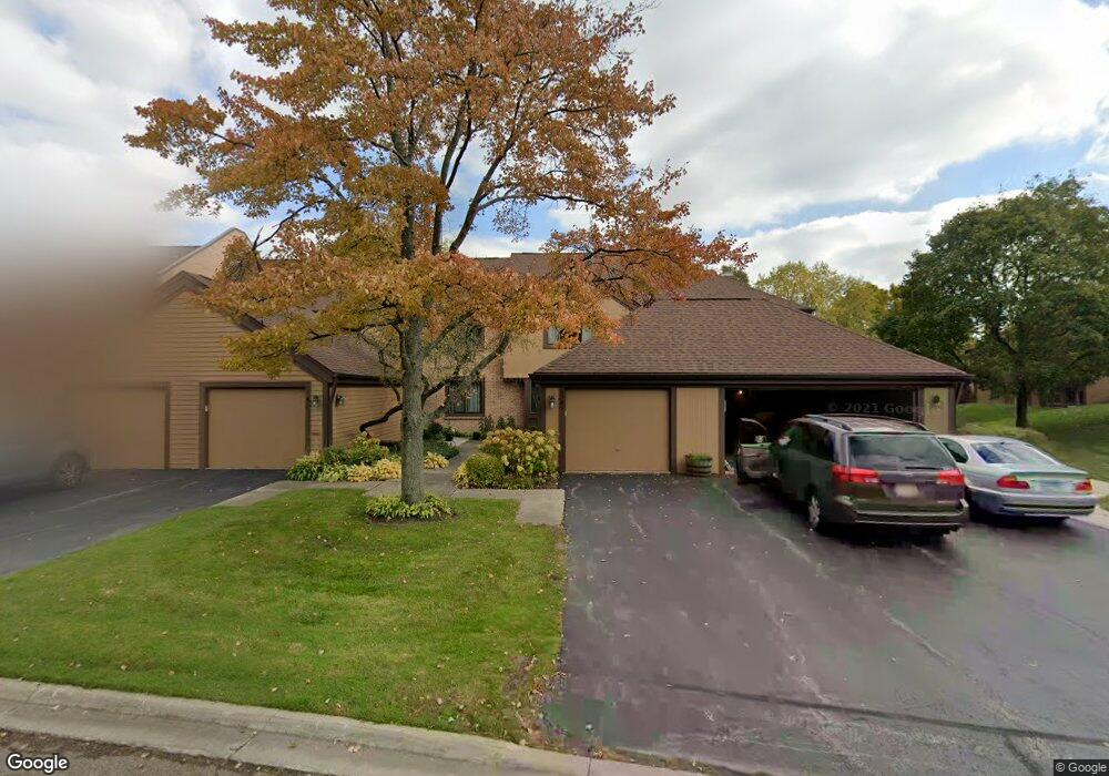
1241 Franklin Ln Unit L6 Buffalo Grove, IL 60089
Estimated Value: $355,938 - $396,000
--
Bed
3
Baths
1,524
Sq Ft
$249/Sq Ft
Est. Value
About This Home
This home is located at 1241 Franklin Ln Unit L6, Buffalo Grove, IL 60089 and is currently estimated at $379,985, approximately $249 per square foot. 1241 Franklin Ln Unit L6 is a home located in Lake County with nearby schools including Kildeer Countryside Elementary School, Woodlawn Middle School, and Adlai E Stevenson High School.
Ownership History
Date
Name
Owned For
Owner Type
Purchase Details
Closed on
Jun 14, 2004
Sold by
Travers Noreen M
Bought by
Widowska Joanna J
Current Estimated Value
Home Financials for this Owner
Home Financials are based on the most recent Mortgage that was taken out on this home.
Original Mortgage
$199,000
Outstanding Balance
$92,354
Interest Rate
5.25%
Mortgage Type
Purchase Money Mortgage
Estimated Equity
$287,631
Create a Home Valuation Report for This Property
The Home Valuation Report is an in-depth analysis detailing your home's value as well as a comparison with similar homes in the area
Home Values in the Area
Average Home Value in this Area
Purchase History
| Date | Buyer | Sale Price | Title Company |
|---|---|---|---|
| Widowska Joanna J | $249,000 | Attorneys Title Guaranty Fun |
Source: Public Records
Mortgage History
| Date | Status | Borrower | Loan Amount |
|---|---|---|---|
| Open | Widowska Joanna J | $199,000 |
Source: Public Records
Tax History Compared to Growth
Tax History
| Year | Tax Paid | Tax Assessment Tax Assessment Total Assessment is a certain percentage of the fair market value that is determined by local assessors to be the total taxable value of land and additions on the property. | Land | Improvement |
|---|---|---|---|---|
| 2024 | $6,335 | $97,850 | $27,439 | $70,411 |
| 2023 | $6,961 | $92,329 | $25,891 | $66,438 |
| 2022 | $6,961 | $78,607 | $22,043 | $56,564 |
| 2021 | $7,281 | $77,759 | $24,604 | $53,155 |
| 2020 | $7,110 | $78,024 | $24,688 | $53,336 |
| 2019 | $7,015 | $77,736 | $24,597 | $53,139 |
| 2018 | $6,522 | $74,883 | $23,694 | $51,189 |
| 2017 | $6,395 | $73,135 | $23,141 | $49,994 |
| 2016 | $6,217 | $70,032 | $22,159 | $47,873 |
| 2015 | $6,035 | $65,493 | $20,723 | $44,770 |
| 2014 | $6,137 | $64,205 | $22,256 | $41,949 |
| 2012 | $5,942 | $64,334 | $22,301 | $42,033 |
Source: Public Records
Map
Nearby Homes
- 1324 Fairfax Ln Unit B32
- 1325 Fairfax Ln
- 1357 Bristol Ln Unit Q4
- 5107 N Arlington Heights Rd
- 12 Cloverdale Ct
- 1032 Courtland Dr Unit 9
- 950 Belmar Ln
- 1514 Sumter Dr
- 890 Knollwood Dr
- 1141 Devonshire Rd
- 800 Clohesey Dr
- 1265 Devonshire Rd
- 1545 Chickamauga Ln
- 931 Shady Grove Ln
- 1242 Antietam Dr
- 327 Lasalle Ln
- 1546 Brandywyn Ln
- 1728 Holly Ct
- 610 Checker Dr
- 614 Lyon Ct
- 1249 Franklin Ln Unit L4
- 1245 Franklin Ln Unit L5
- 1257 Franklin Ln Unit L2
- 1265 Franklin Ln Unit L1
- 1237 Franklin Ln Unit L7
- 1261 Bristol Ln Unit K1
- 1257 Bristol Ln Unit K2
- 1253 Bristol Ln Unit K3
- 1260 Franklin Ln Unit M8
- 1249 Bristol Ln Unit K4
- 1245 Bristol Ln Unit K5
- 1273 Bristol Ln Unit M7
- 1241 Bristol Ln Unit K6
- 1237 Bristol Ln Unit K7
- 1233 Franklin Ln Unit G1
- 1277 Bristol Ln Unit M6
- 1233 Bristol Ln Unit K8
- 1022 Fremont Ct E Unit H2
- 1024 Fremont Ct E Unit H1
- 1229 Franklin Ln Unit G2