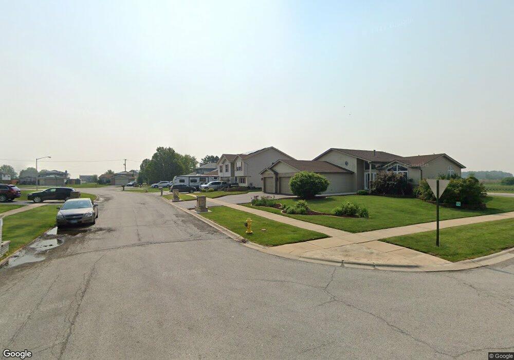
1241 Harvest Ln University Park, IL 60484
Estimated Value: $261,000 - $321,000
3
Beds
3
Baths
2,381
Sq Ft
$119/Sq Ft
Est. Value
About This Home
This home is located at 1241 Harvest Ln, University Park, IL 60484 and is currently estimated at $282,629, approximately $118 per square foot. 1241 Harvest Ln is a home located in Will County with nearby schools including Monee Elementary School, Crete-Monee Middle School, and Crete-Monee High School.
Ownership History
Date
Name
Owned For
Owner Type
Purchase Details
Closed on
May 28, 2024
Sold by
Platt Quentin
Bought by
Platt Quentin and Daniels Sheena
Current Estimated Value
Home Financials for this Owner
Home Financials are based on the most recent Mortgage that was taken out on this home.
Original Mortgage
$212,657
Outstanding Balance
$209,656
Interest Rate
6.49%
Mortgage Type
FHA
Estimated Equity
$72,973
Purchase Details
Closed on
Nov 17, 2006
Sold by
Duckworth Deleon L
Bought by
Platt Quentin
Home Financials for this Owner
Home Financials are based on the most recent Mortgage that was taken out on this home.
Original Mortgage
$179,900
Interest Rate
9.95%
Mortgage Type
Purchase Money Mortgage
Purchase Details
Closed on
May 23, 2006
Sold by
Taylor Gladyse and Estate Of Jacqueline Harris
Bought by
Duckworth Deleon L
Purchase Details
Closed on
Jan 27, 2000
Sold by
State Bank Of Countryside
Bought by
Harris Jacqueline
Home Financials for this Owner
Home Financials are based on the most recent Mortgage that was taken out on this home.
Original Mortgage
$137,015
Interest Rate
8.08%
Mortgage Type
FHA
Create a Home Valuation Report for This Property
The Home Valuation Report is an in-depth analysis detailing your home's value as well as a comparison with similar homes in the area
Home Values in the Area
Average Home Value in this Area
Purchase History
| Date | Buyer | Sale Price | Title Company |
|---|---|---|---|
| Platt Quentin | -- | None Listed On Document | |
| Platt Quentin | $180,000 | Ticor Title | |
| Duckworth Deleon L | -- | None Available | |
| Harris Jacqueline | $145,000 | First American Title |
Source: Public Records
Mortgage History
| Date | Status | Borrower | Loan Amount |
|---|---|---|---|
| Open | Platt Quentin | $212,657 | |
| Previous Owner | Platt Quentin | $179,900 | |
| Previous Owner | Harris Jacqueline | $137,015 |
Source: Public Records
Tax History Compared to Growth
Tax History
| Year | Tax Paid | Tax Assessment Tax Assessment Total Assessment is a certain percentage of the fair market value that is determined by local assessors to be the total taxable value of land and additions on the property. | Land | Improvement |
|---|---|---|---|---|
| 2024 | $8,407 | $76,981 | $10,802 | $66,179 |
| 2023 | $8,407 | $66,363 | $9,312 | $57,051 |
| 2022 | $7,664 | $58,377 | $8,191 | $50,186 |
| 2021 | $6,660 | $53,159 | $7,523 | $45,636 |
| 2020 | $6,565 | $51,436 | $7,279 | $44,157 |
| 2019 | $6,613 | $48,778 | $6,903 | $41,875 |
| 2018 | $6,505 | $47,311 | $6,750 | $40,561 |
| 2017 | $6,408 | $45,879 | $6,539 | $39,340 |
| 2016 | $6,075 | $43,849 | $6,302 | $37,547 |
| 2015 | $5,512 | $41,169 | $5,831 | $35,338 |
| 2014 | $5,512 | $41,734 | $5,826 | $35,908 |
| 2013 | $5,512 | $43,700 | $6,100 | $37,600 |
Source: Public Records
Map
Nearby Homes
- 1244 Harvest Ln
- 613 Farmview Rd
- 1109 Abbot Ln
- 1032 Samson Dr
- 1039 Abbot Ln
- 1029 Samson Dr
- 1039 Barrow Ct
- 1031 Blackhawk Dr
- 537 Nathan Rd
- 740 Mission St
- 543 Regent Rd
- 0 S Nacke Rd
- 607 Sullivan Ln
- 903 Blackhawk Dr
- 608 Sullivan Ln
- 815 Blackhawk Dr
- 655 Sullivan Ln
- 662 Sullivan Ln
- 807 Blackhawk Dr
- 612 Hickok Ave
- 1239 Harvest Ln
- 1243 Harvest Ln
- 1237 Harvest Ln
- 1232 Harvest Ln
- 1234 Harvest Ln
- 1236 Harvest Ln
- 1245 Harvest Ln
- 1235 Harvest Ln
- 1235 Harvest Ln
- 1230 Harvest Ln
- 1238 Harvest Ln
- 517 Farmview Rd
- 1247 Harvest Ln
- 1231 Harvest Ln
- 1231 Harvest Ln
- 1240 Harvest Ln
- 1228 Harvest Ln
- 519 Farmview Rd
- 1229 Harvest Ln
- 1242 Harvest Ln