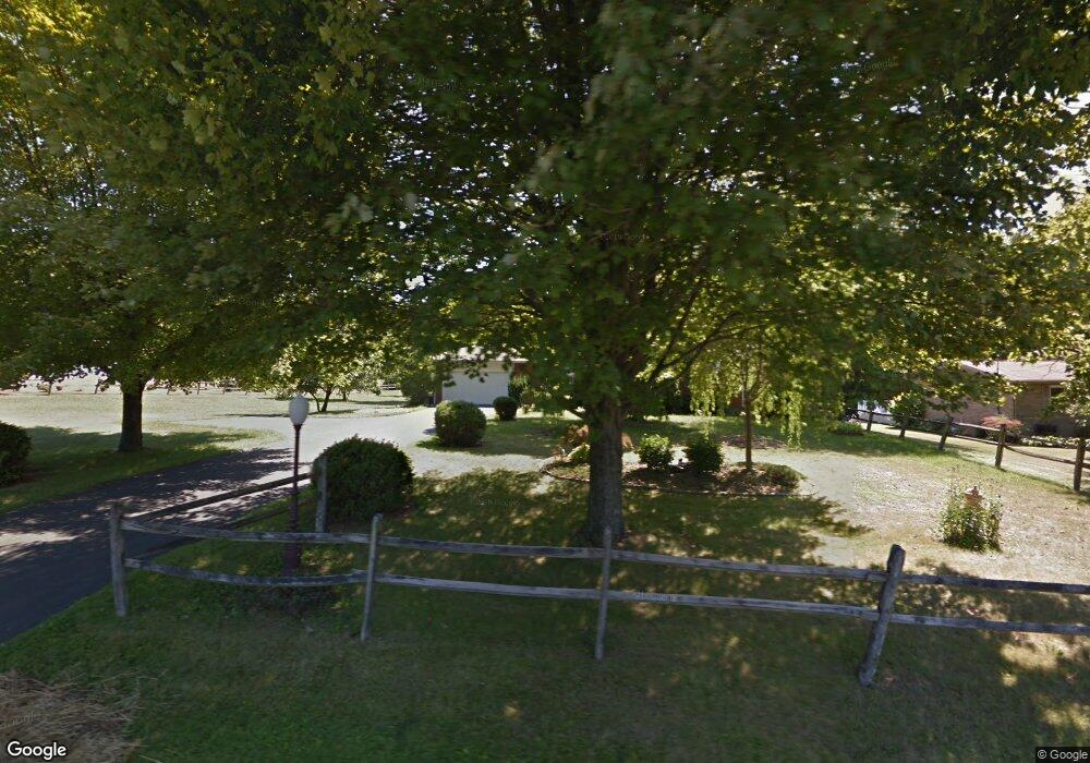
1241 Hubbard Thomas Rd Hubbard, OH 44425
Estimated Value: $150,000 - $211,000
3
Beds
1
Bath
1,236
Sq Ft
$140/Sq Ft
Est. Value
About This Home
This home is located at 1241 Hubbard Thomas Rd, Hubbard, OH 44425 and is currently estimated at $172,737, approximately $139 per square foot. 1241 Hubbard Thomas Rd is a home located in Trumbull County with nearby schools including Brookfield Elementary School, Brookfield Middle School, and Brookfield High School.
Ownership History
Date
Name
Owned For
Owner Type
Purchase Details
Closed on
Nov 5, 2020
Sold by
Moder William J and Leckfor Sandra Lea
Bought by
Leckfor Roger Joseph
Current Estimated Value
Purchase Details
Closed on
Oct 3, 2001
Sold by
Leckfor Ronald and Leckfor Joann B
Bought by
Leckfor Joann B
Purchase Details
Closed on
Jan 1, 1990
Bought by
Ronald Leckfor J and Ronald S
Create a Home Valuation Report for This Property
The Home Valuation Report is an in-depth analysis detailing your home's value as well as a comparison with similar homes in the area
Home Values in the Area
Average Home Value in this Area
Purchase History
| Date | Buyer | Sale Price | Title Company |
|---|---|---|---|
| Leckfor Roger Joseph | $87,000 | None Available | |
| Leckfor Joann B | -- | -- | |
| Ronald Leckfor J | -- | -- |
Source: Public Records
Tax History Compared to Growth
Tax History
| Year | Tax Paid | Tax Assessment Tax Assessment Total Assessment is a certain percentage of the fair market value that is determined by local assessors to be the total taxable value of land and additions on the property. | Land | Improvement |
|---|---|---|---|---|
| 2024 | $1,995 | $43,510 | $6,160 | $37,350 |
| 2023 | $1,995 | $43,510 | $6,160 | $37,350 |
| 2022 | $1,812 | $32,030 | $5,640 | $26,390 |
| 2021 | $1,739 | $32,030 | $5,640 | $26,390 |
| 2020 | $1,477 | $27,370 | $980 | $26,390 |
| 2019 | $1,416 | $24,470 | $910 | $23,560 |
| 2018 | $1,404 | $24,470 | $910 | $23,560 |
| 2017 | $1,402 | $24,470 | $910 | $23,560 |
| 2016 | $1,529 | $25,660 | $1,020 | $24,640 |
| 2015 | $983 | $25,660 | $1,020 | $24,640 |
| 2014 | $978 | $25,660 | $1,020 | $24,640 |
| 2013 | $1,066 | $27,520 | $1,020 | $26,500 |
Source: Public Records
Map
Nearby Homes
- 7440 Stewart Sharon Rd
- 1354 Stevenson Rd
- 7182 Stewart Sharon Rd
- 928 Bedford Rd
- 6855 Stewart Sharon Rd
- 887 State Route 7 SE
- 6976 White Oak Dr
- 1952 Hubbard Masury Rd
- 7086 Warren Sharon Rd
- 7290 Lee Rd NE
- 766 S Irvine Ave
- 545 & 625 Davis St
- 691 S Irvine Ave
- 365 Brookfield Ave
- 609 Syme St
- 7085 Sunnydell Dr
- 872 Yankee Run Rd
- 807 Lee Ave
- 306 Federal St
- 506 Spearman Ave
- 1255 Hubbard Thomas Rd
- 1227 Hubbard Thomas Rd
- 1263 Hubbard Thomas Rd
- 1217 Hubbard Thomas Rd
- 1207 Hubbard Thomas Rd
- 1289 Hubbard Thomas Rd
- 1193 Hubbard Thomas
- 1183 Hubbard Thomas Rd
- 1200 Thomas Hubbard Rd
- 1173 Hubbard Thomas Rd
- 1172 Hubbard Thomas Rd
- 1160 Hubbard Thomas Rd
- 1155 Hubbard Thomas Rd
- 1155 Hubbard Thomas Rd
- 1150 Hubbard Thomas Rd
- 1139 Hubbard Thomas Rd
- 1132 Hubbard Thomas Rd
- 1127 Hubbard Thomas Rd
- 1366 Hubbard Thomas Rd
- 777 Stewart Sharon Rd