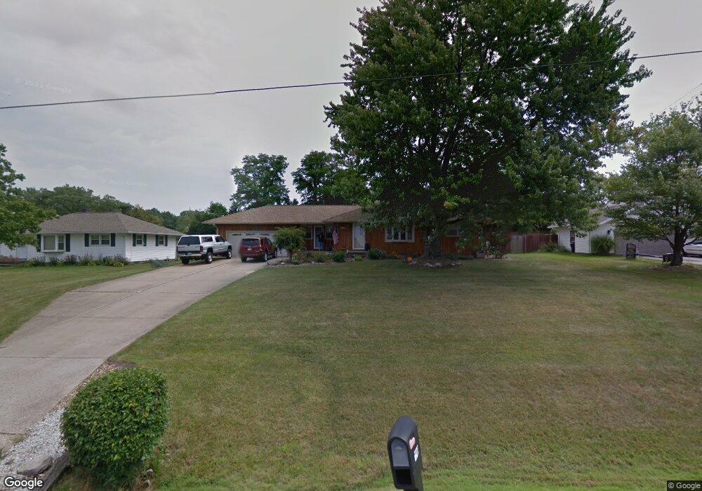
1241 Manitoulin Pike Brunswick, OH 44212
Estimated Value: $250,447 - $304,000
3
Beds
2
Baths
1,152
Sq Ft
$232/Sq Ft
Est. Value
About This Home
This home is located at 1241 Manitoulin Pike, Brunswick, OH 44212 and is currently estimated at $267,612, approximately $232 per square foot. 1241 Manitoulin Pike is a home located in Medina County with nearby schools including Hickory Ridge Elementary School, Willets Middle School, and Brunswick High School.
Ownership History
Date
Name
Owned For
Owner Type
Purchase Details
Closed on
Nov 15, 2023
Sold by
Murphy Sharon R
Bought by
Murphy Family Keystone Trust and Murphy
Current Estimated Value
Purchase Details
Closed on
Nov 20, 2001
Sold by
Barlow Sigmund E
Bought by
Thompson Michael J and Murphy Sharon R
Home Financials for this Owner
Home Financials are based on the most recent Mortgage that was taken out on this home.
Original Mortgage
$133,269
Interest Rate
6.69%
Mortgage Type
FHA
Create a Home Valuation Report for This Property
The Home Valuation Report is an in-depth analysis detailing your home's value as well as a comparison with similar homes in the area
Home Values in the Area
Average Home Value in this Area
Purchase History
| Date | Buyer | Sale Price | Title Company |
|---|---|---|---|
| Murphy Family Keystone Trust | -- | None Listed On Document | |
| Thompson Michael J | $135,000 | Real Estate Title |
Source: Public Records
Mortgage History
| Date | Status | Borrower | Loan Amount |
|---|---|---|---|
| Previous Owner | Thompson Michael J | $133,269 |
Source: Public Records
Tax History Compared to Growth
Tax History
| Year | Tax Paid | Tax Assessment Tax Assessment Total Assessment is a certain percentage of the fair market value that is determined by local assessors to be the total taxable value of land and additions on the property. | Land | Improvement |
|---|---|---|---|---|
| 2024 | $3,170 | $64,090 | $24,260 | $39,830 |
| 2023 | $3,170 | $64,090 | $24,260 | $39,830 |
| 2022 | $2,998 | $64,090 | $24,260 | $39,830 |
| 2021 | $2,654 | $50,860 | $19,250 | $31,610 |
| 2020 | $2,388 | $50,860 | $19,250 | $31,610 |
| 2019 | $2,389 | $50,860 | $19,250 | $31,610 |
| 2018 | $2,294 | $46,330 | $16,310 | $30,020 |
| 2017 | $2,297 | $46,330 | $16,310 | $30,020 |
| 2016 | $2,295 | $46,330 | $16,310 | $30,020 |
| 2015 | $2,170 | $42,370 | $17,350 | $25,020 |
| 2014 | $2,163 | $42,370 | $17,350 | $25,020 |
| 2013 | $2,115 | $42,370 | $17,350 | $25,020 |
Source: Public Records
Map
Nearby Homes
- 4383 Inner Circle Dr Unit C24
- 4383 Inner Circle Dr Unit A24
- 4385 Inner Circle Dr Unit B-18
- 4383 Inner Circle Dr Unit B22
- 4349 Inner Circle Dr Unit A-5
- 1044-1070 Pearl Rd
- V/L Pearl Rd
- 0 Pearl Rd Unit 4173749
- 1307 Stearns St
- 4203 Regal Ave
- 1291 Jester Ct Unit B253
- 1407 Lincoln Ave
- 4347 Oak Ridge Trail
- 4351 Oak Ridge Trail
- 4355 Oak Ridge Trail
- 4339 Oak Ridge Trail
- 1431 Roosevelt Ave
- 0 Center Rd Unit 4467135
- 1151 Mulberry Ln
- 4597 Brushwood Cir
- 1251 Manitoulin Pike
- 1231 Manitoulin Pike
- 1221 Manitoulin Pike
- 1261 Manitoulin Pike
- 1246 Manitoulin Pike
- 1234 Manitoulin Pike
- 4380 Inner Circle Dr
- 4380 Inner Circle Dr Unit 4A
- 4380 Inner Circle Dr
- 4380 Inner Circle Dr
- 1256 Manitoulin Pike
- 1222 Manitoulin Pike
- 4362 Inner Circle Dr
- 4362 Inner Circle Dr
- 4362 Inner Circle Dr Unit B17
- 4362 Inner Circle Dr
- 4362 Inner Circle Dr
- 4362 Inner Circle Dr
- 4362 Inner Circle Dr
- 4362 Inner Circle Dr Unit A12