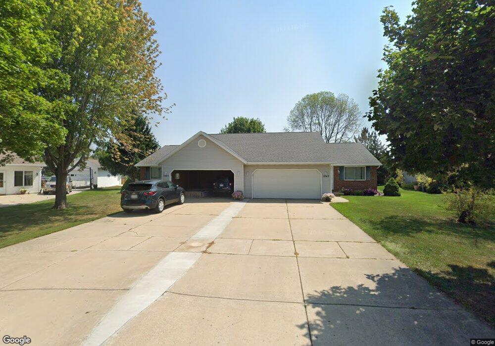
1241 N Franco Ct Unit 1243 de Pere, WI 54115
Estimated Value: $366,000 - $404,000
4
Beds
2
Baths
2,048
Sq Ft
$189/Sq Ft
Est. Value
About This Home
This home is located at 1241 N Franco Ct Unit 1243, de Pere, WI 54115 and is currently estimated at $387,320, approximately $189 per square foot. 1241 N Franco Ct Unit 1243 is a home located in Brown County with nearby schools including Westwood Elementary School, Cms Iacademy at Lincoln Jackson, and Desert Pride Academy.
Ownership History
Date
Name
Owned For
Owner Type
Purchase Details
Closed on
Jul 30, 2008
Sold by
Hurley Michael J and Hurley Sara Meta
Bought by
Christens Ricky J
Current Estimated Value
Home Financials for this Owner
Home Financials are based on the most recent Mortgage that was taken out on this home.
Original Mortgage
$135,900
Outstanding Balance
$89,457
Interest Rate
6.39%
Mortgage Type
Purchase Money Mortgage
Estimated Equity
$297,863
Create a Home Valuation Report for This Property
The Home Valuation Report is an in-depth analysis detailing your home's value as well as a comparison with similar homes in the area
Home Values in the Area
Average Home Value in this Area
Purchase History
| Date | Buyer | Sale Price | Title Company |
|---|---|---|---|
| Christens Ricky J | $170,000 | Liberty Title |
Source: Public Records
Mortgage History
| Date | Status | Borrower | Loan Amount |
|---|---|---|---|
| Open | Christens Ricky J | $135,900 |
Source: Public Records
Tax History Compared to Growth
Tax History
| Year | Tax Paid | Tax Assessment Tax Assessment Total Assessment is a certain percentage of the fair market value that is determined by local assessors to be the total taxable value of land and additions on the property. | Land | Improvement |
|---|---|---|---|---|
| 2024 | $4,897 | $323,600 | $46,200 | $277,400 |
| 2023 | $4,414 | $280,600 | $46,200 | $234,400 |
| 2022 | $4,431 | $253,000 | $46,200 | $206,800 |
| 2021 | $4,253 | $221,800 | $38,500 | $183,300 |
| 2020 | $4,207 | $206,700 | $38,500 | $168,200 |
| 2019 | $3,933 | $194,000 | $38,500 | $155,500 |
| 2018 | $3,834 | $183,700 | $38,500 | $145,200 |
| 2017 | $3,478 | $163,200 | $38,500 | $124,700 |
| 2016 | $3,498 | $163,200 | $38,500 | $124,700 |
| 2015 | $3,708 | $169,700 | $38,500 | $131,200 |
| 2014 | $3,791 | $169,700 | $38,500 | $131,200 |
| 2013 | $3,791 | $169,700 | $38,500 | $131,200 |
Source: Public Records
Map
Nearby Homes
- 1264 Franco Ct Unit 1266
- 1276 S 9th St
- 1213 Danena Dr
- 1410 S 7th St
- 978 Saint Anthony Dr Unit 2
- 1002 Aldrin St
- 1509 S 7th St
- 1653 Crimson Ct
- 0 Scheuring Rd
- 1120 S 6th St
- 657 Reid St
- 0 Main Ave
- 806 4th St
- 2045 Lost Dauphin Rd
- 555 Main Ave Unit 110
- 555 Main Ave Unit 104
- 555 Main Ave Unit 111
- 555 Main Ave Unit 206
- 555 Main Ave Unit 113
- 721 Cedar St
- 1233 Franco Ct Unit 1235
- 1251 Franco Ct Unit 2
- 1249 Franco Ct Unit 2
- 1222 S 9th St
- 1228 S 9th St
- 1242 N Franco Ct Unit 2
- 1240 N Franco Ct Unit 1
- 1259 Franco Ct Unit 2
- 1257 Franco Ct Unit 1
- 1259 N Franco Ct
- 1240 N Franco Ct
- 1248 Franco Ct Unit 1250
- 1234 S 9th St
- 1256 N Franco Ct
- 1258 Franco Ct
- 1256 Franco Ct
- 1210 S 9th St
- 1265 N Franco Ct Unit 1267
- 1255 Crown Ct Unit 1257
- 1186 S 9th St Unit 1188