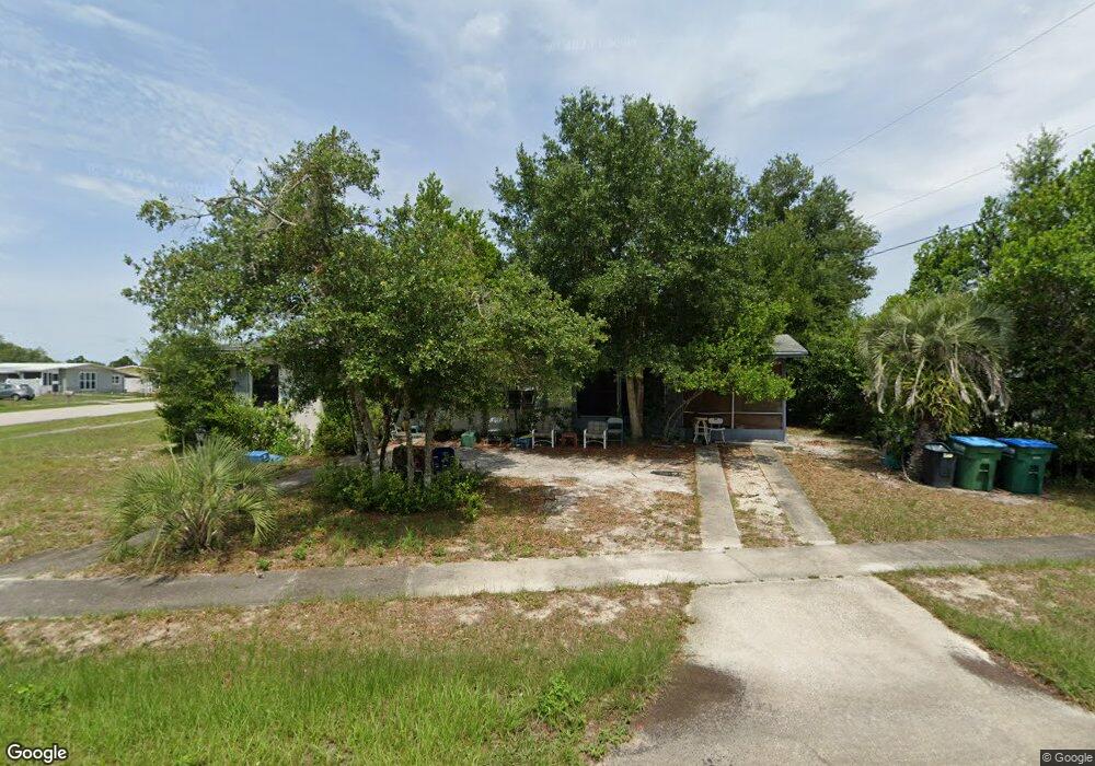
1241 Parker Ave Deltona, FL 32725
Estimated Value: $147,000 - $193,000
1
Bed
1
Bath
830
Sq Ft
$196/Sq Ft
Est. Value
About This Home
This home is located at 1241 Parker Ave, Deltona, FL 32725 and is currently estimated at $162,740, approximately $196 per square foot. 1241 Parker Ave is a home located in Volusia County with nearby schools including Discovery Elementary School, Deltona Middle School, and University High School.
Ownership History
Date
Name
Owned For
Owner Type
Purchase Details
Closed on
Aug 25, 2003
Sold by
Luongo Peter and Luongo Charlene
Bought by
Walter Norma
Current Estimated Value
Home Financials for this Owner
Home Financials are based on the most recent Mortgage that was taken out on this home.
Original Mortgage
$56,100
Outstanding Balance
$25,487
Interest Rate
5.94%
Estimated Equity
$137,253
Purchase Details
Closed on
Feb 28, 2003
Sold by
Hinkley Nancy
Bought by
Luongo Peter and Luongo Charlene
Purchase Details
Closed on
Aug 30, 1996
Sold by
Stenstrom Irene Harriett
Bought by
Stenstrom Irene H
Create a Home Valuation Report for This Property
The Home Valuation Report is an in-depth analysis detailing your home's value as well as a comparison with similar homes in the area
Home Values in the Area
Average Home Value in this Area
Purchase History
| Date | Buyer | Sale Price | Title Company |
|---|---|---|---|
| Walter Norma | $55,000 | -- | |
| Luongo Peter | $45,000 | -- | |
| Stenstrom Irene H | -- | -- |
Source: Public Records
Mortgage History
| Date | Status | Borrower | Loan Amount |
|---|---|---|---|
| Open | Walter Norma | $56,100 |
Source: Public Records
Tax History Compared to Growth
Tax History
| Year | Tax Paid | Tax Assessment Tax Assessment Total Assessment is a certain percentage of the fair market value that is determined by local assessors to be the total taxable value of land and additions on the property. | Land | Improvement |
|---|---|---|---|---|
| 2025 | $331 | $31,158 | -- | -- |
| 2024 | $331 | $30,280 | -- | -- |
| 2023 | $331 | $29,399 | $0 | $0 |
| 2022 | $351 | $28,543 | $0 | $0 |
| 2021 | $379 | $27,712 | $0 | $0 |
| 2020 | $370 | $27,329 | $0 | $0 |
| 2019 | $358 | $26,715 | $0 | $0 |
| 2018 | $327 | $26,217 | $0 | $0 |
| 2017 | $286 | $25,678 | $0 | $0 |
| 2016 | $282 | $25,150 | $0 | $0 |
| 2015 | -- | $24,975 | $0 | $0 |
| 2014 | $250 | $24,777 | $0 | $0 |
Source: Public Records
Map
Nearby Homes
- 812 Lily Ct
- 1243 Wanda Ln
- 1183 E Lombardy Dr
- 877 Horizon St
- 1163 W Hancock Dr
- 1157 W Hancock Dr
- 1211 Stillwater Ave
- 1418 Corinthian Ave
- 1131 Stillwater Ave
- 732 Waterfall Cir
- 962 Rockhill St
- 1417 Independence Ave
- 1348 E Hancock Dr
- 1218 Bailey Ave
- 1093 E Hancock Dr
- 636 S Wellington Dr
- 1053 E Hancock Dr
- 1340 Bakersfield Ave
- 1483 Independence Ave
- 913 Merrimac St
- 853 Roberts Blvd
- 848 Crawford St
- 854 Crawford St
- 1242 Parker Ave
- 861 Roberts Blvd Unit 28
- 848 Roberts Blvd
- 1250 Parker Ave Unit 28
- 1234 Parker Ave
- 854 Roberts Blvd
- 862 Crawford St
- 1258 Parker Ave
- 862 Roberts Blvd Unit 28
- 824 Crawford St
- 870 Crawford St
- 1271 Parker Ave
- 847 Crawford St
- 853 Halstead St
- 870 Roberts Blvd
- 857 Crawford St
- 831 Halstead St