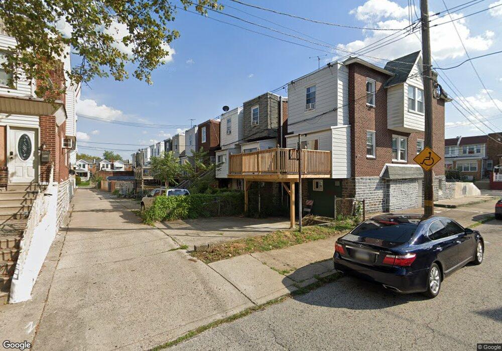
1241 Pratt St Philadelphia, PA 19124
Frankford NeighborhoodEstimated Value: $201,632 - $226,000
3
Beds
1
Bath
1,200
Sq Ft
$177/Sq Ft
Est. Value
About This Home
This home is located at 1241 Pratt St, Philadelphia, PA 19124 and is currently estimated at $212,158, approximately $176 per square foot. 1241 Pratt St is a home located in Philadelphia County with nearby schools including Frankford High School, The Philadelphia Charter School for the Arts & Sciences, and Mastery Schools Smedley Elementary.
Ownership History
Date
Name
Owned For
Owner Type
Purchase Details
Closed on
Jul 3, 2001
Sold by
Carassai Domenic and Carassai Nancy M
Bought by
Norris Derrick
Current Estimated Value
Home Financials for this Owner
Home Financials are based on the most recent Mortgage that was taken out on this home.
Original Mortgage
$54,450
Outstanding Balance
$21,075
Interest Rate
7.2%
Mortgage Type
FHA
Estimated Equity
$191,083
Create a Home Valuation Report for This Property
The Home Valuation Report is an in-depth analysis detailing your home's value as well as a comparison with similar homes in the area
Home Values in the Area
Average Home Value in this Area
Purchase History
| Date | Buyer | Sale Price | Title Company |
|---|---|---|---|
| Norris Derrick | $54,900 | T A Title Insurance Co |
Source: Public Records
Mortgage History
| Date | Status | Borrower | Loan Amount |
|---|---|---|---|
| Open | Norris Derrick | $54,450 |
Source: Public Records
Tax History Compared to Growth
Tax History
| Year | Tax Paid | Tax Assessment Tax Assessment Total Assessment is a certain percentage of the fair market value that is determined by local assessors to be the total taxable value of land and additions on the property. | Land | Improvement |
|---|---|---|---|---|
| 2025 | $2,044 | $175,800 | $35,160 | $140,640 |
| 2024 | $2,044 | $175,800 | $35,160 | $140,640 |
| 2023 | $2,044 | $146,000 | $29,200 | $116,800 |
| 2022 | $817 | $101,000 | $29,200 | $71,800 |
| 2021 | $1,447 | $0 | $0 | $0 |
| 2020 | $1,447 | $0 | $0 | $0 |
| 2019 | $1,389 | $0 | $0 | $0 |
| 2018 | $1,407 | $0 | $0 | $0 |
| 2017 | $1,407 | $0 | $0 | $0 |
| 2016 | $987 | $0 | $0 | $0 |
| 2015 | $9,820 | $0 | $0 | $0 |
| 2014 | -- | $100,500 | $20,800 | $79,700 |
| 2012 | -- | $12,864 | $1,254 | $11,610 |
Source: Public Records
Map
Nearby Homes
- 1239 Pratt St
- 1243 Pratt St
- 1237 Pratt St
- 1245 Pratt St
- 1235 Pratt St
- 1247 Pratt St
- 5215 Sylvester St
- 1233 Pratt St
- 1249 Pratt St
- 5217 Sylvester St
- 1251 Pratt St
- 1253 Pratt St
- 5219 Sylvester St
- 5221 Sylvester St
- 1255 Pratt St
- 5214 Oakland St
- 5216 Oakland St
- 5223 Sylvester St
- 1227 Pratt St
- 5218 Oakland St