Estimated Value: $209,000 - $655,000
3
Beds
2
Baths
1,956
Sq Ft
$260/Sq Ft
Est. Value
About This Home
This home is located at 1241 Saint Patricks Dr, Perry, GA 31069 and is currently estimated at $509,321, approximately $260 per square foot. 1241 Saint Patricks Dr is a home located in Houston County with nearby schools including Morningside Elementary School, Perry Middle School, and Perry High School.
Ownership History
Date
Name
Owned For
Owner Type
Purchase Details
Closed on
Mar 18, 2024
Sold by
Southern Rivers Prop Re Llc
Bought by
Marjul Farms Llc
Current Estimated Value
Purchase Details
Closed on
Jan 12, 2024
Sold by
Hookin Bull Properties Llc
Bought by
Southern Rivers Prop Re Llc
Home Financials for this Owner
Home Financials are based on the most recent Mortgage that was taken out on this home.
Original Mortgage
$500,000
Interest Rate
7.22%
Mortgage Type
New Conventional
Purchase Details
Closed on
Apr 20, 2007
Sold by
Strategic Union Llc
Bought by
Hookin Bull Properties Llc
Purchase Details
Closed on
May 20, 2005
Sold by
The Most Rev J Kevin Boland
Bought by
Strategic Union Llc and Perrylands Llc
Purchase Details
Closed on
Dec 28, 1994
Bought by
Catholic Diocese Of Savannah
Purchase Details
Closed on
Jun 3, 1967
Bought by
Catholic Diocese Of Savannah
Create a Home Valuation Report for This Property
The Home Valuation Report is an in-depth analysis detailing your home's value as well as a comparison with similar homes in the area
Home Values in the Area
Average Home Value in this Area
Purchase History
| Date | Buyer | Sale Price | Title Company |
|---|---|---|---|
| Marjul Farms Llc | -- | None Listed On Document | |
| Southern Rivers Prop Re Llc | $900,000 | None Listed On Document | |
| Hookin Bull Properties Llc | -- | None Available | |
| Strategic Union Llc | $225,000 | None Available | |
| Catholic Diocese Of Savannah | -- | -- | |
| Catholic Diocese Of Savannah | -- | -- |
Source: Public Records
Mortgage History
| Date | Status | Borrower | Loan Amount |
|---|---|---|---|
| Previous Owner | Southern Rivers Prop Re Llc | $500,000 |
Source: Public Records
Tax History Compared to Growth
Tax History
| Year | Tax Paid | Tax Assessment Tax Assessment Total Assessment is a certain percentage of the fair market value that is determined by local assessors to be the total taxable value of land and additions on the property. | Land | Improvement |
|---|---|---|---|---|
| 2024 | $10,037 | $273,160 | $146,360 | $126,800 |
| 2023 | $6,486 | $175,320 | $109,760 | $65,560 |
| 2022 | $2,109 | $91,720 | $30,440 | $61,280 |
| 2021 | $2,056 | $88,920 | $30,440 | $58,480 |
| 2020 | $1,979 | $85,200 | $30,440 | $54,760 |
| 2019 | $1,858 | $79,960 | $25,200 | $54,760 |
| 2018 | $1,858 | $79,960 | $25,200 | $54,760 |
| 2017 | $1,859 | $79,960 | $25,200 | $54,760 |
| 2016 | $1,862 | $79,960 | $25,200 | $54,760 |
| 2015 | $2,040 | $87,400 | $25,200 | $62,200 |
| 2014 | -- | $87,640 | $25,200 | $62,440 |
| 2013 | -- | $87,640 | $25,200 | $62,440 |
Source: Public Records
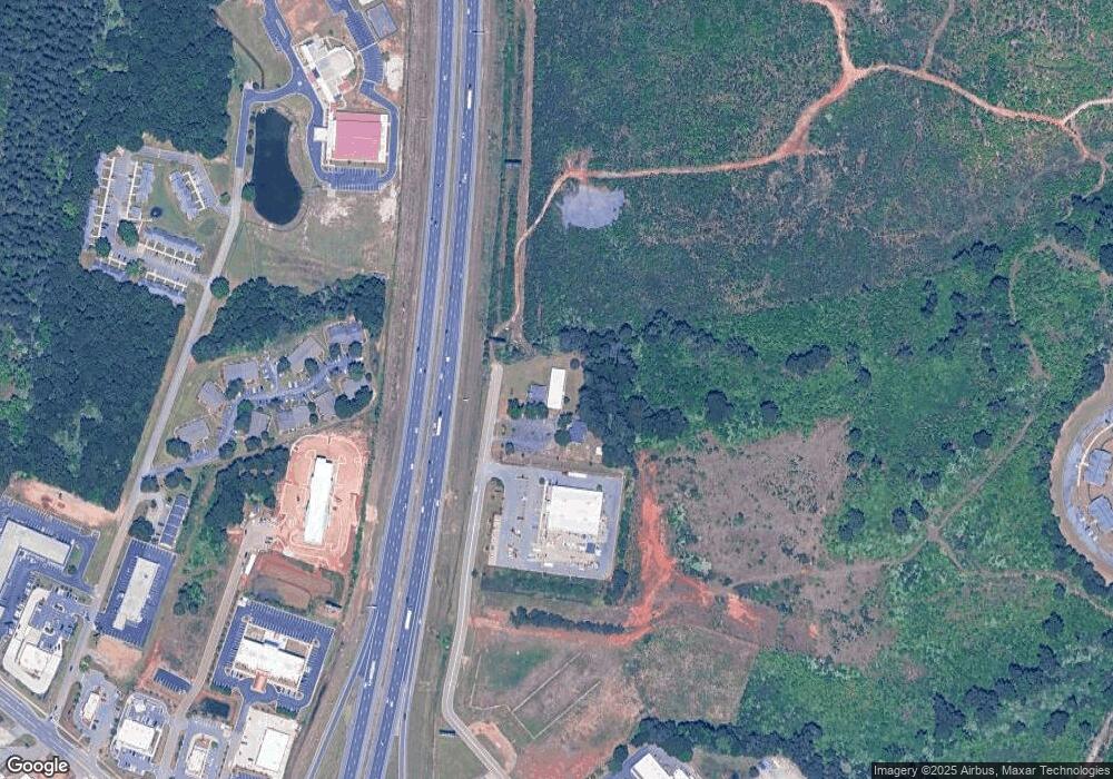
Map
Nearby Homes
- 302 Charles Gray Blvd
- 128 Kenmore Cir Unit 15
- 126 Kenmore Cir Unit 14
- 124 Kenmore Cir Unit 13
- 113 Kenmore Cir Unit 138
- 115 Kenmore Cir Unit 139
- 117 Kenmore Cir Unit 140
- 113 Kenmore Cir
- 124 Kenmore Cir
- 126 Kenmore Cir
- 128 Kenmore Cir
- 115 Kenmore Cir
- 117 Kenmore Cir
- 119 Kenmore Cir
- 121 Kenmore Cir
- 123 Kenmore Cir
- 219 Christine Cir
- 309 Charles Gray Blvd
- 103 Steeple Ct
- 1121 Saint Patricks Dr
- 710 Mason Terrace
- 1121 St Patricks Dr
- 706 Mason Terrace Unit 1-10
- 706 Mason Terrace
- 706 Mason Terrace Unit 10
- 706 Mason Terrace Unit 5
- 715 Mason Terrace
- 1504 Sam Nunn Blvd
- 1500 Sam Nunn Blvd
- 1508 Sam Nunn Blvd
- 1600 Sam Nunn Blvd
- 200 Charles Gray Blvd
- 202 Charles Gray Blvd
- 204 Charles Gray Blvd
- 1513 Sam Nunn Blvd
- 206 Charles Gray Blvd
- 208 Charles Gray Blvd
- 300 Charles Gray Blvd
- 304 Charles Gray Blvd