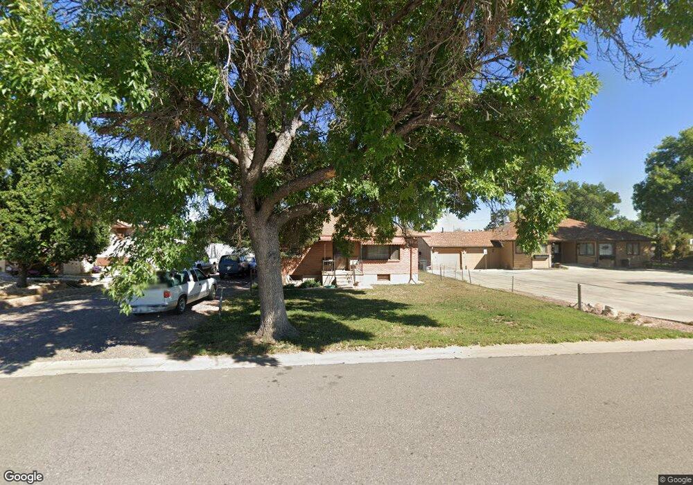
12410 First St Thornton, CO 80241
Eastlake Village NeighborhoodEstimated Value: $347,000 - $437,000
2
Beds
1
Bath
952
Sq Ft
$397/Sq Ft
Est. Value
About This Home
This home is located at 12410 First St, Thornton, CO 80241 and is currently estimated at $377,733, approximately $396 per square foot. 12410 First St is a home located in Adams County with nearby schools including Stellar Elementary School, Century Middle School, and Mountain Range High School.
Ownership History
Date
Name
Owned For
Owner Type
Purchase Details
Closed on
Jul 9, 2004
Sold by
Martinez Anthony
Bought by
City Of Thornton
Current Estimated Value
Purchase Details
Closed on
May 4, 2001
Sold by
Plunk Violet M
Bought by
Martinez Anthony
Home Financials for this Owner
Home Financials are based on the most recent Mortgage that was taken out on this home.
Original Mortgage
$130,945
Interest Rate
6.83%
Create a Home Valuation Report for This Property
The Home Valuation Report is an in-depth analysis detailing your home's value as well as a comparison with similar homes in the area
Home Values in the Area
Average Home Value in this Area
Purchase History
| Date | Buyer | Sale Price | Title Company |
|---|---|---|---|
| City Of Thornton | -- | -- | |
| Martinez Anthony | $133,000 | Land Title Guarantee Company |
Source: Public Records
Mortgage History
| Date | Status | Borrower | Loan Amount |
|---|---|---|---|
| Previous Owner | Martinez Anthony | $130,945 |
Source: Public Records
Tax History
| Year | Tax Paid | Tax Assessment Tax Assessment Total Assessment is a certain percentage of the fair market value that is determined by local assessors to be the total taxable value of land and additions on the property. | Land | Improvement |
|---|---|---|---|---|
| 2025 | $2,527 | $24,750 | $6,050 | $18,700 |
| 2024 | $2,527 | $22,750 | $5,560 | $17,190 |
| 2023 | $2,502 | $28,140 | $6,020 | $22,120 |
| 2022 | $2,187 | $19,850 | $5,700 | $14,150 |
| 2021 | $2,258 | $19,850 | $5,700 | $14,150 |
| 2020 | $2,127 | $19,070 | $5,860 | $13,210 |
| 2019 | $2,132 | $19,070 | $5,860 | $13,210 |
| 2018 | $1,799 | $15,630 | $6,480 | $9,150 |
| 2017 | $1,635 | $15,630 | $6,480 | $9,150 |
| 2016 | $1,166 | $10,850 | $2,630 | $8,220 |
| 2015 | $1,164 | $10,850 | $2,630 | $8,220 |
| 2014 | -- | $9,880 | $2,870 | $7,010 |
Source: Public Records
Map
Nearby Homes
- 12380 York St
- 2504 E 125th Place
- 12560 Josephine St
- 12453 Clayton Ct
- 12350 Farmview St
- 12205 Race St
- 12237 Creamery St
- 12208 Creamery St
- 12335 Festival Ln
- 12380 Irma Dr
- 12314 Hayloft Ln
- 1737 E 122nd Ave
- 12261 Karl's Ln
- 2297 E 128th Ave
- 2275 E 129th Ave
- 3225 E 124th Ave
- 12885 Vine St
- 12218 Adams St
- 11919 Lavinia Ln
- 12251 Cook Ct
Your Personal Tour Guide
Ask me questions while you tour the home.